ABOUT THE PARK:
Stephens State Park - New Jersey Department of Environmental Protection
DIRECTIONS:
GPS Coordinates 40.873742, -74.805525
HIKE DISTANCE: 9.9 miles
THE HIKE:
 |
| First a quick trip over to Musconetcong River views while nobody is there at 7 AM. This will get crowded later. |
 |
| Musconetcong River |
 |
| Starting on the yellow trail at the restroom building. |
 |
| The teal Highlands Trail also follows along a short distance until it leaves to the left. |
 |
| At the end of yellow, right on red. |
 |
| Right on orange. |
 |
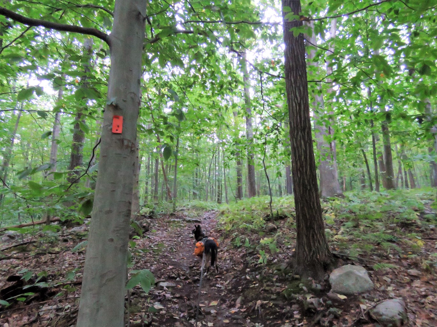
| Orange goes steeply uphill on an eroded trail. |
 |
| The trails smooths out at the top.. |
 |
| Left on white when orange turns right - that would be our return route. |
 |
| It is dark in the woods at 7 AM. At the top the sun starts peeking through. |
 |
| Left on blue to loop back around to white. |
 |
| At the end of blue, left to continue on white. |
 |
| Just after this lime kiln on the right ... |
 |
| ... we turned left on an unmarked trail when white went right. |
 |
| It wasn't until I came off of the unmarked trail to a right on the opposite side of the white loop that I saw the trail I was on had a name. All of these unmarked trails are built by mountain bikers. |
 |
| White touches briefly on a power cut ... |
 |
| ... before heading back into the woods. |
 |
| Through a power cut with a little bit of a power cut view. |
 |
| We left white (red dashed line) to take an unmarked trail that, according to the app, would meet back up with white. It did. |
 |
| Along this unmarked trail, which would probably have nice winter views, there was a perfect break boulder. |
 |
| Back on white and staying with what for a while. |
 |
| Taking another unmarked trail that would run back into white. |
 |
| Another unmarked trail to the left that we took where white went right. This was now retracing from the beginning of the hike so it was nice to have an alternate option instead of the same trail back. |
 |
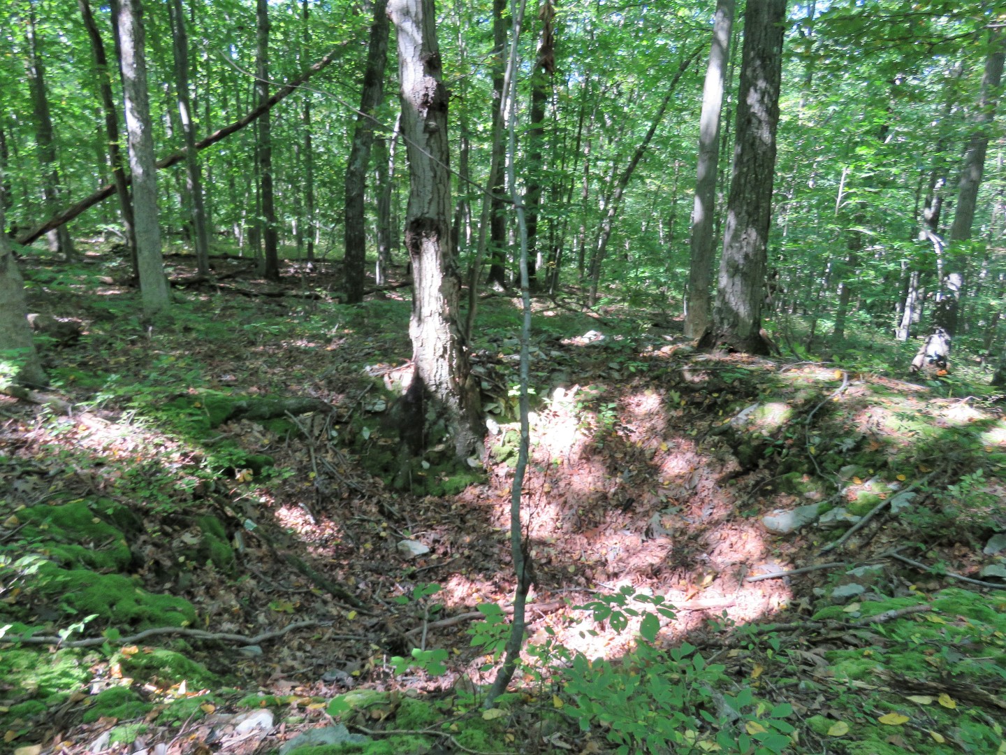
| Some old mine pits along the way. |
 |
| After hooking back up with white for a bit, we turned left on orange at the intersection where we had come up on orange previously. |
 |
| As was the case on the other side of orange, it started out smooth at the top then descended on rocky eroded trail. At the bottom it veers right onto a smooth trail ... |
 |
| ... that comes out behind the park office ... |
 |
| ... and the parking lot which is much busier at noon than at 7 AM. Out on the trails, however, I only encountered one single hiker fairly early on, a couple hiking up orange while I was descending at the end, and two mountain bikers that I could see on a trail I was not on. |