ABOUT THE PARK:
DIRECTIONS:
GPS Coordinates 37.73156, -90.94006
These coordinates do not lead directly to the parking lot. By putting in those coordinates, a GPS will tell you to take an impassible route. The coordinates above lead to the first intersection coming in from the main entrance:
 |
| At the first intersection turn left following the boat ramp arrow. |
 |
| At the second intersection turn right following the boat ramp arrow. |
 |
| Wild Boar Hollow Boat Ramp Parking |
 |
| Head towards the kiosk ... |
 |
| ... to pay the $5 parking fee. |
Having said all of that, I would have been better off parking at the Enough Boat Ramp (37.70604, -90.91398) where there is no parking fee (the smallest I had on me was a $10 so I paid double) and where it puts two difficult creek crossings at the end of the hike instead of at the middle. More on that later.
TRAIL MAP:
HIKE DISTANCE: 12.7 miles (with an added section of the Ozark Trail)
THE HIKE:
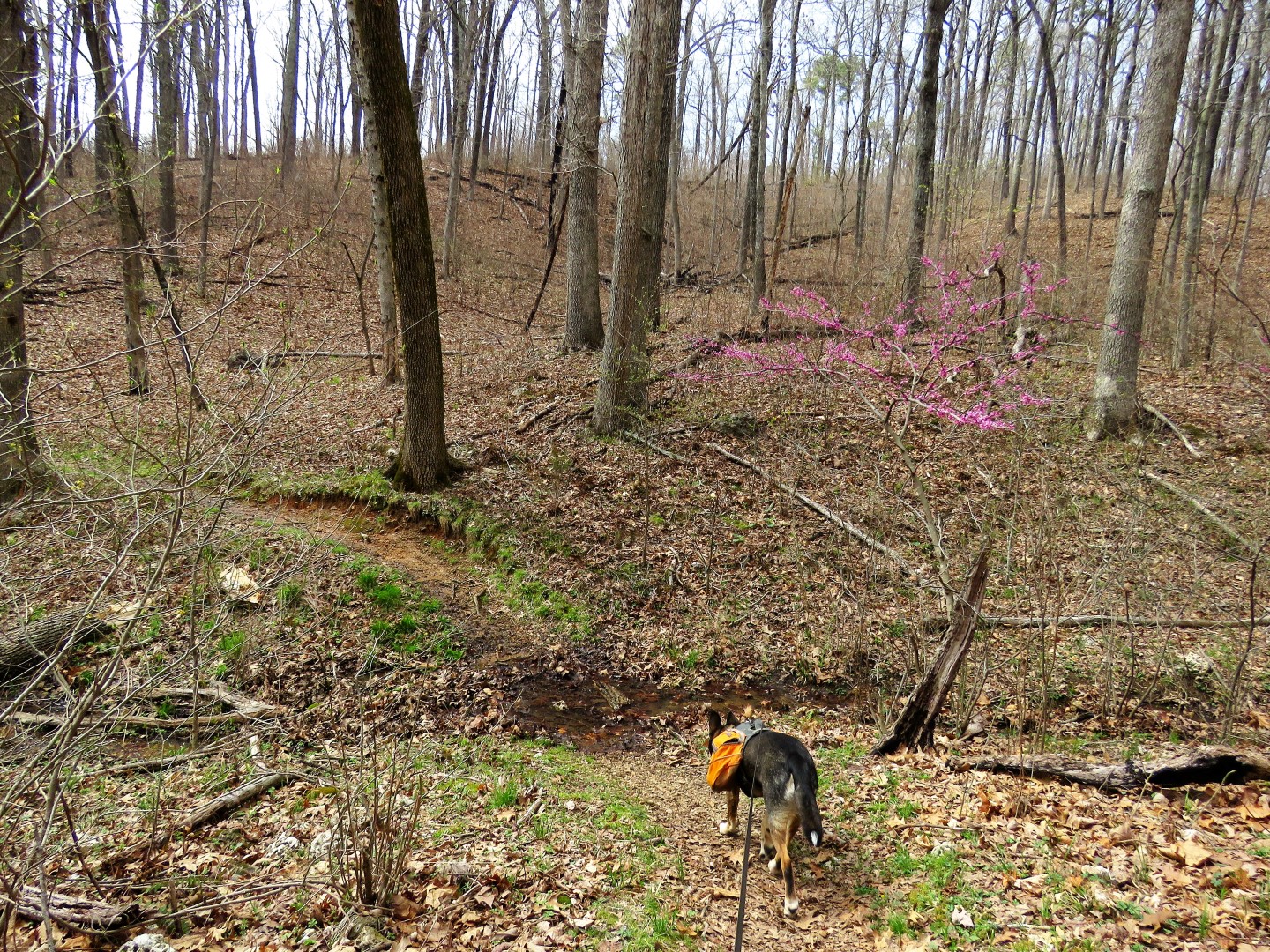
It was a beautiful hike but not without challenges. There had been severe storms with heavy rain in the days prior which probably made some of the water crossings more difficult than usual - and there were many ranging from very easy to very difficult. Worth noting is that horses are not allowed, only hikers and mountain bikes (I saw no mountain bike tracks at all) so the trail is in really good shape. There are only electric motor boats on the lake so it's a very quiet and peaceful hike.
 |
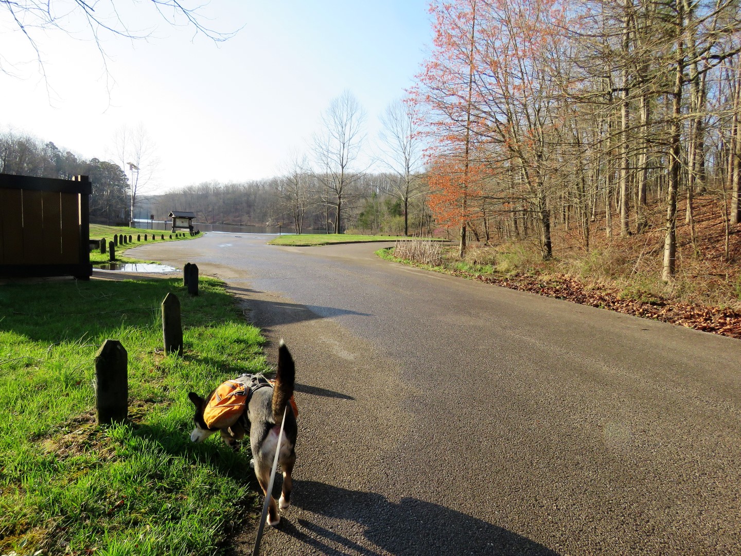
| Doing the loop counterclockwise - continue towards the boat ramp staying to the right ... |
 |
| ... to access the trail on stepping stones over a wet area. |
 |
| Most of the loop follows along scenic Council Bluff Lake. Although there were so many boat trailers in the parking lot, I didn't see that many boats on the lake since there is plenty of room for them to spread out. |
 |
| The trail follows the contour of many, many coves and at the end of each one ... |
 |
| ... the trail will cross over an inlet before doubling back. |
 |
| Side trail to the campground. |
 |
| Second trail to the campground. |
 |
| Not sure why there are Ozark Trail markers and I don't believe this is the Ozark Trail. There will be a connector to it farther along. |
 |
| The Council Bluff Lake Trail is supposed to be marked with white diamonds, which there are hardly any of. The trail is easy enough to follow, though, and intersections are marked with "TRAIL" signs. |
 |
| Thank goodness there was a bridge over this crossing but ... |
 |
| ... looks like this is the connector to the Ozark Trail in half a mile so decided to head out that way first. |
 |
| Eastern Phoebe |
 |
| This walkway was under water deeper than my waterproof hiking shoes could handle and the logs on either side, although above water, were so slimy it was like stepping on ice so I had to bushwhack around. |
 |
| But right after we came on this crossing and that was not happening so we headed back to the lake loop where we could take that nice bridge over. |
 |
| Heading back. |
 |
| Back on the lake trail, after crossing the bridge ... |
 |
| ... the trail goes through a beautiful pine forest. |
 |
| Blue-gray Gnatcatcher |
 |
| The dam across the lake looked so close yet it would be several more hours before we would be crossing that. |
 |
| Belted Kingfisher - either every cove had one or this one followed me for most of the hike. |
 |
| Taking a break on a log. |
 |
| The trail will follow an old road uphill with no views of the lake although it is just to the left. |
 |
| At the top, the lake comes back into view. |
 |
| Coming into an area called "Enough". Soon I will have had enough. How fitting. |
 |
| This dirt road ... |
 |
| ... became wetter and wetter ... |
 |
| ... until it merged into a creek. |
 |
| The only way across was to plod on through but I had waterproof shoes on and they would just fill with water and not drain so I had no choice but to take them off and go over barefoot which was INCREDIBLY painful on the rocks that got bigger and sharper. Then half way across Brodie got hung up on those trees to the left and I had to go back to free him. Seriously Brodie?!?!?! Then on the other side I dried off, put my socks and shoes back on (oh did that feel good) and then just around the bend ... |
 |
| ... off with the shoes and socks again. At least this was half the distance but the water was knee deep here also and the rocks were just as painful. |
 |
| A few steps from those crossings is the Enough Boat Launch. Had I started the hike counterclockwise here, those crossings would have been at the very end of the hike and getting my shoes waterlogged would not have mattered. But at this point I wasn't even half way around the lake yet. |
 |
| Following the gravel road to the left ... |
 |
| ... then right to resume the trail on the right. |
 |
| Ruby-crowned Kinglet |
 |
| There were three diamond markers in a row up at this higher level, more than I had seen the entire hike so far. |
 |
| Oh no, not again! |
 |
| Fortunately I found this downed tree and was able to shimmy over without getting wet. |
 |
| There is swamp beyond the water crossing so I had to continue to bushwhack around that until ... |
 |
| ... I met back up with the trail where it came out of the swamp. |
 |
| This frog was the size of a dime. Had I not seen him jump (and I thought it was a bug at first) I would have missed him. |
 |
| Northern Parula with a bug lunch. |
 |
| Council Bluff Beach across the lake. We would be taking a break at one of the picnic tables in a bit. |
 |
| First over that dam we saw so long ago. |
 |
| After crossing the dam the trail follows the gravel road then leaves to the left. |
 |
| Now we have stepping stones there they aren't really needed, LOL. |
 |
| At our break spot with lake views. |
 |
| I had not seen a single person the entire hike and with a couple of miles left to go, I could see a group of backpackers heading clockwise around. |
 |
| Continuing through ... |
 |
| ... past the beach ... |
 |
| ... to a left on the trail. |
 |
| Nearing the end up ahead. |
 |
| One bridge ... |
 |
| ... then another ... |
 |
| ... and back to the parking lot where almost all of the pickups and boat trailers were now gone leaving only a handful of cars some of which were from FL, TX, KS and of course us, from NJ. |
 |
| Not even out of the parking lot yet and he is out. |
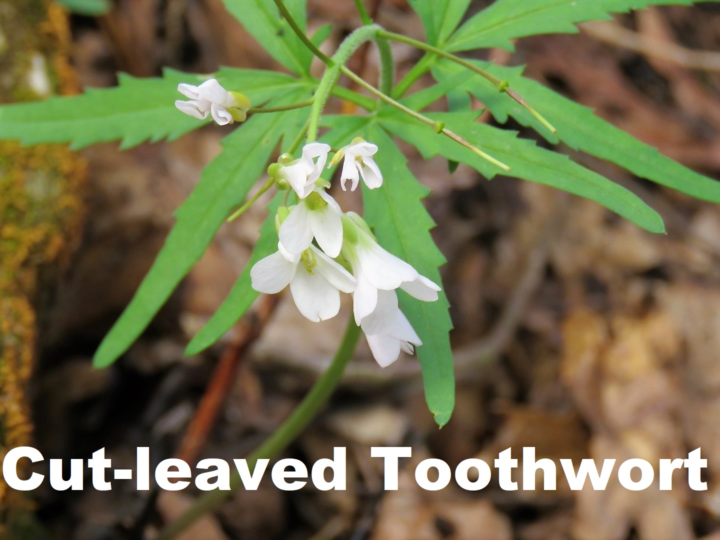
I used the Seek app to identify some of the many wildflowers I encountered during the hike: