ABOUT THE PARK:
St. Michaels Preserve - D&R Greenway Land Trust (Scroll about half way down.)
DIRECTIONS:
GPS coordinates for main parking area: 40.38351, -74.75447
TRAIL MAP:
St. Michaels Preserve - Sourlands Conservancy
HIKE DISTANCE: 6.5 miles
THE HIKE:
 |
| From the parking lot head towards the kiosk. |
 |
| You can either go to the right along the field or the woods road to the left of the kiosk. You won't see any trail markers until you get to the woods trails. |
 |
| We took the woods road out and the field back which turned out to be a huge mistake. Everything was frozen early on, the field was a swamp at the end of the hike. |
 |
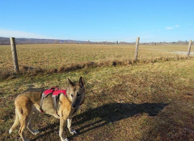
| The field next to the woods road. |
 |
| Keeping right, we followed this farm road. |
 |
| This American Kestrel looks cold. |
 |
| The farm road crosses Bedens Brook on a bridge. |
 |
| It gets hard to describe the hike because it's confusing without markers until you figure out what is what so this hike involved some exploratory backtracking and bushwhacking trying to get where I wanted to go. |
 |
| At the southeastern corner, a yellow trail into the woods. |
 |
| The yellow trail runs into a blue trail which we took to the left. |
 |
| A huge flooded out area that we did manage to navigate through. |
 |
| Apparently the rest of the world turned around at that point because on the other side it was all wildlife prints in the snow. |
 |
| Back at that bridge across Bedens Brook. I should have turned right before the bridge and retraced where I had been before to get to the short road walk to the eastern loop but for some reason I thought I could turn right after the bridge so I did not have to retrace. That did not work so well. |
 |
| After finding a path down to Breden Brook, I retraced because I thought I had seen a path earlier that would connect over to where I wanted to be. Turns out that was not the case, we would have had to swim across Bedens Brook to get to that point. So we retraced all the way back to that bridge then left along the field again. |
 |
| That path that I thought would connect over, it was actually on the opposite side of Bedens Brook and did not connect but did almost take me to Aunt Molly Road where I wanted to go to do the loop trail. |
 |
| We just had to find a way across a little side stream, which we did, then we were ... |
 |
| ... on Aunt Molly's Road just a few steps from the trail I was looking for. |
 |
| This trail is blazed with orange markers and is very scenic along Beden's Brook. |
 |
| The start of the loop where you can go either way. |
 |
| So we are hiking along when all of a sudden someone calls my name. Ran smack into ... |
 |
| ... Laura and Dan Balogh! Of course they recognized Shawnee before me. We have known one another virtually for a few years but had never met until now. |
 |
| Picture taken by Dan Balogh. |
 |
| Shawnee made some new friends and was on her way home with them until I insisted she come with me :) So nice meeting Dan and Laura in person! |
 |
| At the end of the orange loop trail. |
 |
| A short road walk on Aunt Molly Road. |
 |
| Back into the preserve. |
 |
| After passing the gate, an overlook up ahead on the left. |
 |
| Charles Evan Overlook with Sourland Mountain in the distance. |
 |
| Heading back on the farm road, it was getting warm and things were really melting. |
 |
| Of course, just before the parking lot, a swamp. Should have taken that woods road on the right. |
 |
| We have a loaner car while ours is in the shop. Thank goodness I had covered the back seat well! This car only had 400 miles on it when the dealer turned the keys over to me. The picture doesn't do the mud in her fur justice. And all she does is walk through it. I have always said she needs mud flaps. |
 |
| Somebody is getting hosed when she gets home. |


