

ABOUT THE PARK:
Elk Neck State Park - Maryland Department of Natural Resources
 |
| No hunting on Sundays. |
DIRECTIONS:
GPS Coordinates 39.49151, -75.98708
 |
| North East Beach Parking |
 |
| During this time of year self pay for parking is in effect. The only pay station is here on the way in, none in the parking lot. |

TRAIL MAP:
Elk Neck State Park Trail Map - Maryland Department of Natural Resources
Powered by Wikiloc
HIKE DISTANCE: 8.3 miles
THE HIKE:
Shawnee and I had hiked the Turkey Point Lighthouse section almost a year ago. The rest of the trails were too difficult for her but I always wanted to return to hike them. With Brodie ready, willing and able, we went and finished what Shawnee couldn't do.
 |
| According to the map this is parking for the White Banks Trail trail head but it was not obvious at all where the trail starts. I parked near the kiosk at the top of the lot and walked up the paved road between the kiosk and picnic shelter 1. I did see some very faded white paint blazes so I thought this might be the way. |

 |
| At the very end of the paved road at the tip of the turn around loop, just past picnic shelter 2... |
 |
| ... the White Banks Trail. |
 |
| These markers are plentiful once on the trail. |
 |
| Right after I took this picture of the Chesapeake Bay, a bald eagle flew by but I missed him. |
 |
| This part of the trail follows along the Chesapeake Bay with nice winter views. |
 |
| And there is that bald eagle! |
 |
| And balloon #4 of the year. |
 |
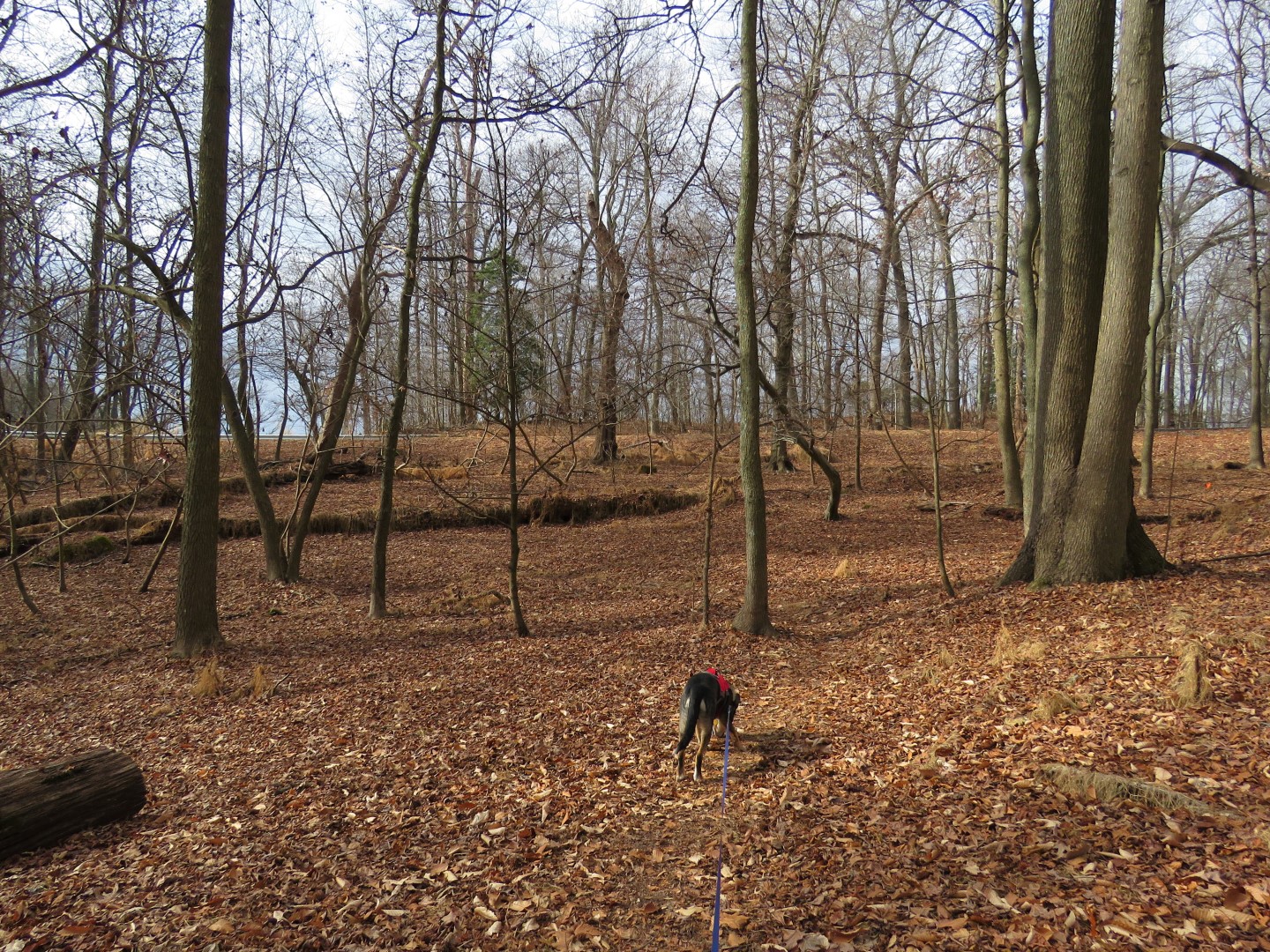
| The terrain is quite hilly with lots of ups and downs. |

 |
| Coming up on the overlook. |


 |
| Same eagle or a different one? |
 |
| And here are three on the ice, two adults and a juvenile. |


 |
| I didn't realize how close I was to the edge until I took this picture. Then I got all weak in the knees and moved back. |
 |
| After the overlook the trail goes inland. |

 |
| Coming up on Turkey Point Road where the trail crosses over. |


 |
| Here we have balloon #5 of the year which happens to exactly match a balloon I found on the previous hike in NJ. |
 |
| Coming up on Elk River. |
 |
| Here at the end of the White Bank Trail was a bench for our break spot. |

 |
| Leaving the bench a connector trail leads to the Beaver Marsh Loop. |
 |
| We needed to turn left but I went right first ... |

 |
| ... for a view of the Elk River. |
 |
| Heading back so we'd be going around the Beaver Marsh Loop in a clockwise direction. |
 |
| Good thing I chose to go that way because there was another bald eagle on the other side of the marsh. |
 |
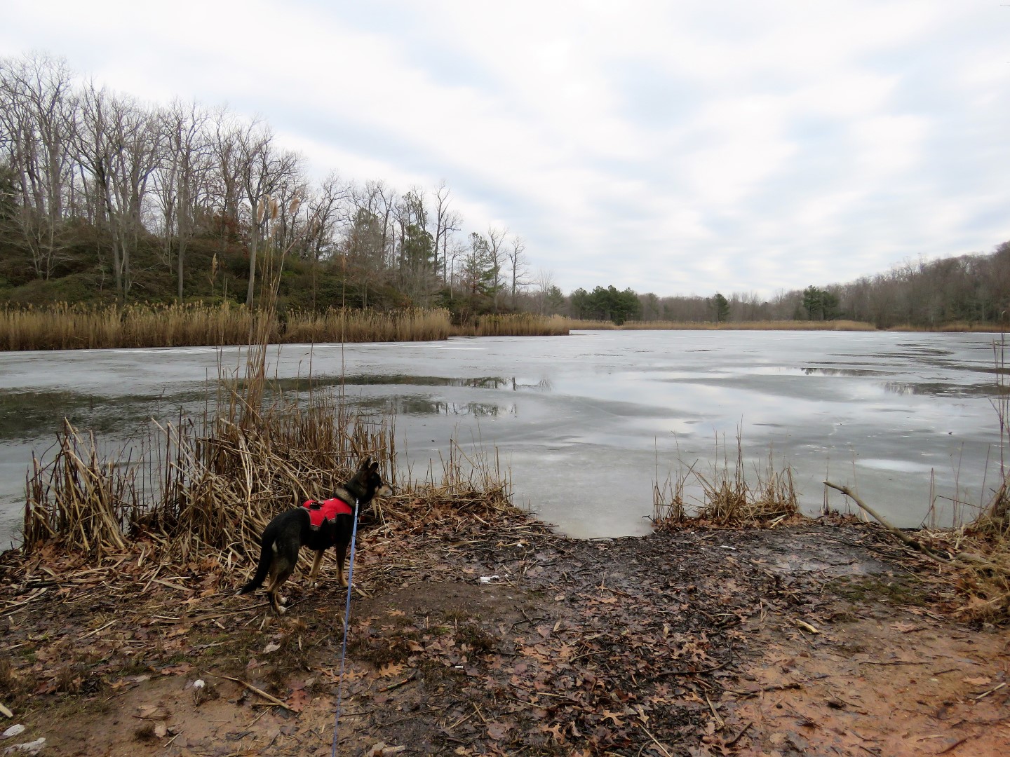
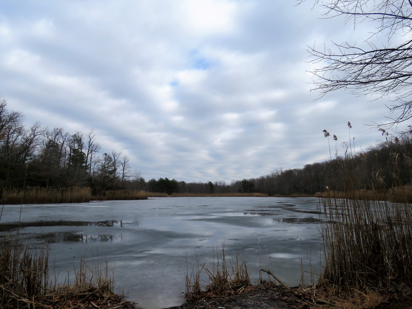
| Beaver Marsh |


 |
| Around to where that eagle had been sitting, an eagle nest. |
 |
| And an eagle feather. |
 |
| Right after I took this picture a red fox skittered across the ice between me and the beaver lodge but he was too fast for me to get in another shot. |
 |
| We looped around to the campground connector trail. |

 |
| To make a loop we had to do a little road walking. |
 |
| No traffic on Stony Point Road... |
 |
| ... because it was gated. We turned right beyond the gate on North East Loop into the campground. |
 |
| According to the map, I should have been able to pick u p the Ravines Loop behind the playground. |
 |
| We went into the woods behind the basketball hoop and headed right. |
 |
| Brodie was having trouble finding a trail and so was I. |
 |
| No trail here so we tried the other way. |
 |
| I found some very faint blazes that eventually became more clear with a more defined path. |
 |
| Then the trail was marked with pink ribbons. Apparently the trail went defunct but they must be resurrecting it. |

 |
| The trail comes out at the laundry building ... |
 |
| ... and we picked up the Pond Loop at the kiosk behind the laundry. |
 |
| The map in the kiosk does not show the Ravines Loop at all. |

 |
| Wapiti Pond |


 |
| This must have been one big beaver. |

 |
| The Pond Loop turns left on to a wide path then ... |
 |
| ... Farm Road Trail starts to the right. |

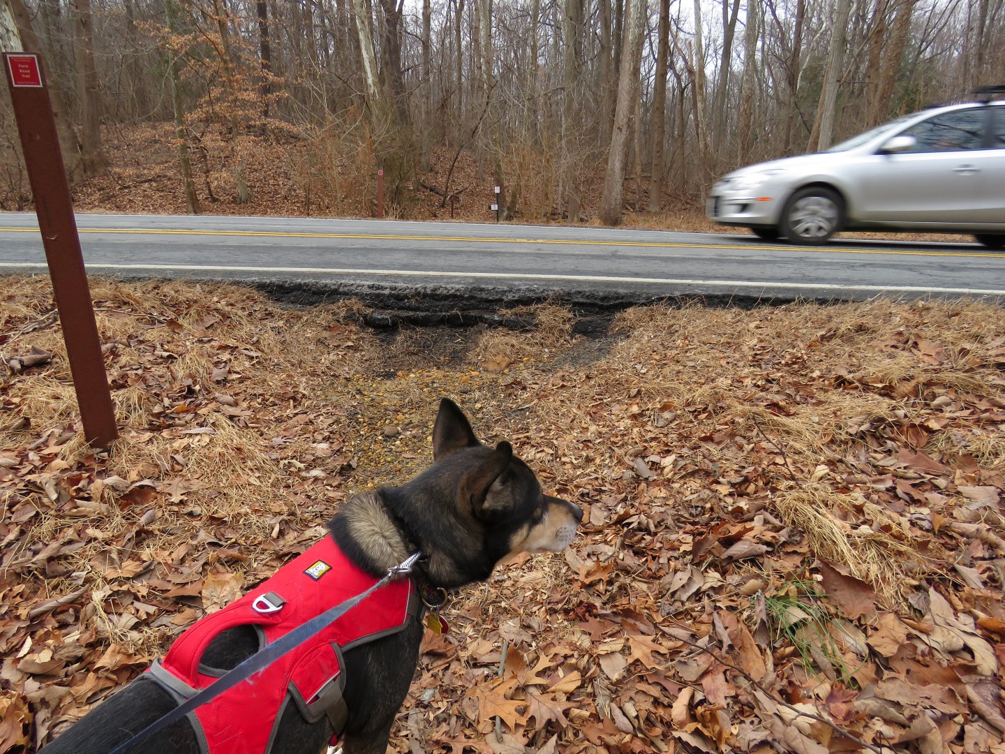 |
| Crossing back over Turkey Point Road. |


 |
| Farm Road Trail leads right back to the parking log opposite from where we started. |