Worthington State Forest - New Jersey State Park Service
Delaware Water Gap National Recreation Area - National Park Service
DIRECTIONS:
GPS Coordinates 41.01750, -75.07035
 |
| Rockcores Trail parking with room for about 3 cars. |
TRAIL MAP:
Delaware Water Gap and Kittatinny Trails Map 120 - NYNJ Trail Conference
Worthington State Forest Trail Map - New Jersey State Park Service
HIKE DISTANCE: 10.5 miles
THE HIKE:
Old Mine Road is closed every winter until April 15. No road access means lots of solitude in the otherwise popular Delaware Water Gap. To take advantage of that I incorporated Old Mine Road to form a loop hike.
 |
| The Rockcores Trail strats from the parking lot along the Delaware River. |
 |
| It veers away from the river ... |
 |
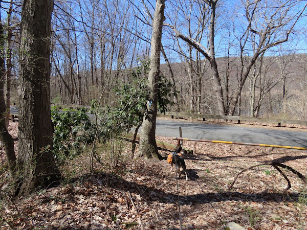
| ... crosses Old Mine Road ... |
 |
| ... then heads uphill steeply on switchbacks. |
 |
| Giant cores of rock drilled out of the mountainside in the 1960's to test for the never built (thank goodness) Tocks Island Dam project. |
 |
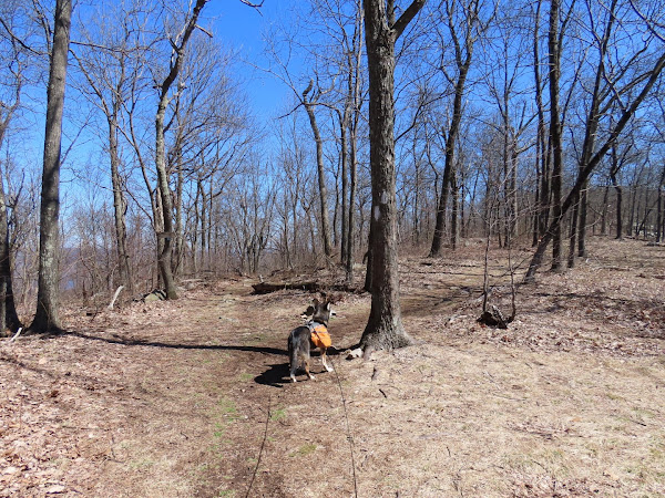
| The trail levels out and it appears that you are at the top but there is a whole other section of climbing yet to come. |
 |
| Left on the red Garvey Springs Trail. |
 |
| This is where the second section of steep uphill begins. |
 |
| The Appalachian Trail is crazy rocky along this side. |
 |
| Keeping left on the Sunfish Fire Road. |
 |
| Left at the blue arrow ... |
 |
| ... on the Turquoise Trail. I was really enjoying the rare peace and tranquility when ... |
 |
| Seriously? Smack in the middle of the trail? Camping isn't even allowed anywhere in this area, only at the backpack camping site. |
 |
| At the end of turquoise right on the Appalachian Trail. |
 |
| The entire stretch along Raccoon Ridge is very scenic, especially with no leaves on the trees yet. |
 |
| Lower Yards Creek Reservoir below on the left. |
 |
| Coming up on a huge rock pile at the overlooks. |
 |
| The Delaware River to the west. |
 |
| Lower Yards Creek Reservoir to the east. |
 |
| Leaving Worthington State Forest and entering the Delaware Water Gap NRA. |
 |
| Where the AT turns right, we continued straight on the blue Kaiser Trail. |
 |
| Right on the blue/red connector trail to head over to the Coppermine Trail. |
 |
| Left on the red Coppermine Trail. |
 |
| Left on the blue connector trail to get back over to the Kaiser Trail. |
 |
| The connector trail ascends very steeply. |
 |
| It levels out for a bit at the top... |
 |
| ... before meeting up with the Kaiser Trail where we turned right. |
 |
| This is a pretty smooth woods road all the way down. |
 |
| The Kaiser Trail ends at Old Mine Road where we turned right a few steps ... |
 |
| ... to the Kaiser Trail parking lot, now deserted with the road closed, to change into sneakers for the road walk. |
 |
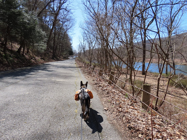
| And off we go on Old Mine Road for 1.85 miles of road walking. |
 |
| There are several dilapidated old houses along the way. |
 |
| Love these gated seasonally closed roads! |
 |
| So do they. |
 |
| Leaving the Delaware Water Gap at the point where the road is gated to traffic. |
 |
| Lots of duck pairs in the Delaware River. A wood duck couple. |
 |
| Mallards |
 |
| Common Merganser |
 |
| Back at the parking lot. |


