

Columbia Trail - Morris County Park Commission
Columbia Trail Brochure - Hunterdon County Parks
A Gorgeous Ride: The Columbia Trail - New Jersey Department of Transportation
DIRECTIONS:
GPS Coordinates 40.669598, -74.895754
 |
| Columbia Trail Parking in High Bridge |
TRAIL MAP:
Columbia Trail Map in Morris County - Morris County Park Commission
Columbia Trail Map and Guide - Hunterdon County Parks
BIKE DISTANCE: 30.3 miles
THE BIKE:
Over the years I have incorporated all of the Columbia Trail with hikes but this is the first time biking in its entirety. I wanted to start in High Bridge because there is a slight uphill grade in this direction so I wanted to get that in first.
 |
| Leaving the parking lot and crossing Main Street to ... |
 |
| ... the start of the Columbia Trail. |
 |
| So incredibly quiet and peaceful at 6 AM. |


 |
| Not much to see of Lake Solitude waterfall without hiking all the way in. |


 |
| Lockwood Gorge Bridge |
 |
| South Branch Raritan River |
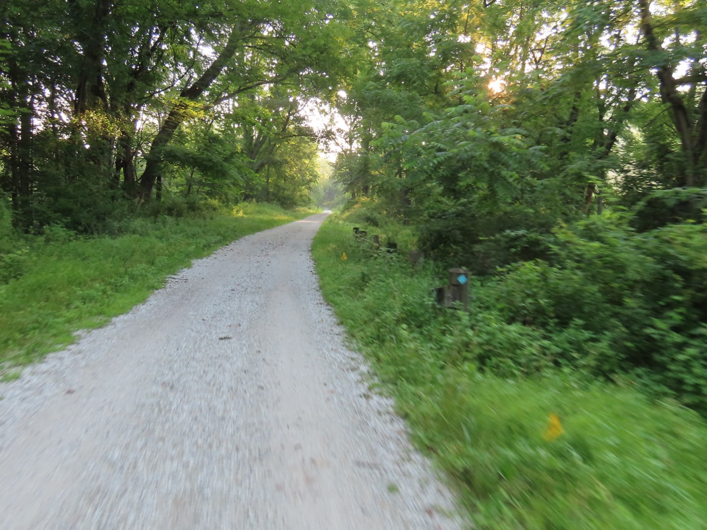 |
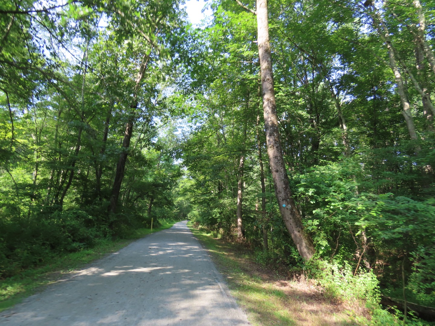
| The teal Highlands Trail joins in from the left and follows the Columbia Trail for quite some time. |


 |
| Califon Fire Company on Bank Street - this is where I would be returning to the trail after a short road portion on the way back. |


 |
| Mill Pond Park has a couple of trails but no place to park a bike. In this area the trail has a couple of short, steep ups and downs and blind curves. The trail is also very narrow here and bikes will come careening at you at high speed from around the curves so it's a bit of a harrowing section. |
 |
| Once past the only ugly part of the trail, things return to normal. |
 |
| But for the last 3.5 miles the trail surface is pretty rough with chunkier gravel instead of crushed stone. |
 |
| The Highlands Trail leaves to the left. The Patriots Path has joined in. |


 |
| The end of the Columbia Trail at Bartley Road at 15.16 miles. |
 |
| Heading back. |
 |
| Now it's mostly a slight downhill grade going back and it is immediately noticeable. |


 |
| Back through the icky part but I did not encounter anyone else on the curves on the way back. |

 |
| The trail gets much more crowded around parking areas later in the morning. Three times I had to ask people to move because they were side-by-side across the entire trail and were making to effort to move over. |
 |
| Once away form parking lots, it's peaceful and uncrowded again. |
 |
| I remember these junked vintage cars from years ago. |


 |
| I rode over to Vernoy Road on a short side path to parallel the Columbia Trail. This was a fun, smooth, cruise downhill on pavement closer to the river. |
 |
| There is a bit of traffic. |
 |
| At Main Street in Califon I turned left going uphill for a very short distance back to the Columbia Trail at the Califon Fire Company, shortly after passing the Califon Train Station on the right. |


 |
| Back over the Lockwood Gorge Bridge. |


 |
| Crossing back over Main Street ... |
 |
| ... to a now much busier parking lot. |
No comments:
Post a Comment