ABOUT THE PARK:
Storm King State Park - New York State Parks
Highlands Trail - New York New Jersey Trail Conference
DIRECTIONS:
GPS Coordinates 41.41896, -74.01046
 |
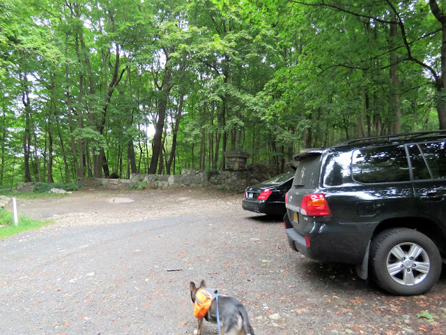
| Parking at Black Rock Forest right next to Storm King State Park - I parked here so I could include a section of the Highlands Trail into Storm King that I had not hiked before. |
TRAIL MAP:
West Hudson Trails Map #113 - New York New Jersey Trail Conference
Esty & Hellie Stowell Trailhead Map - Scenic Hudson (shows all of the trails for this hike)
HIKE DISTANCE: 8.9 miles
THE HIKE:
The last time I hiked here was in
April 2011. I repeated some sections in order to hike the rest of the trails I had not hiked yet hoping to avoid some of the more crowded areas. This is a very popular park because of all of the views.
 |
| We started out climbing the stone steps out of the parking lot. In October 2013 Shawnee and I had gone straight on the Highlands Trail/yellow Stillman Trail ... |
 |
| ... but this day we turned left on the Highlands/Stillman Trail to continue this section of the Highlands Trail into Storm King State Park. |
 |
| A tunnel under Route 9 after about 1/3 of a mile. |
 |
| It was creepy dark in there early in the morning. |
 |
| Coming out of the tunnel, a right on Mountain Road at The Storm King School. |
 |
| A short distance ahead the trail turns right but we continued straight on Mountain Road. |
 |
| After about 3/4 of a mile, hiker parking on the right and ... |
 |
| ... the beginning of the Stillman Trail. |
 |
| The Highlands Trail merges in just before an overlook of the Hudson River. |
 |
| After the overlook, we retraced a bit and turned right on the Highlands Trail. (Would have been a left turn off of the Tillman Trail had we not gone to the overlook first.) |
 |
| A view from the Highlands Trail which follows along the field down below. |
 |
| The Highlands Trail crosses a creek then continues to head downhill ... |
 |
| ... through a ravine with pretty cascades. |
 |
| Now on the mowed path along the field we had seen from above. |
 |
| ... the Highlands Trail turns left into the woods ... |
 |
| ... then crosses Bayview Avenue. |
 |
| Cross over to the short one-way side street ... |
 |
| ... then right at the stop sign. |
 |
| The Highlands Trail ends at the railroad tracks. |
 |
| Crossing the railroad tracks to Donahue Memorial Park on the Hudson River. |
 |
| The Hudson Highlands across the river. |
 |
| Going to the gazebo ... |
 |
| ... for a break. |
 |
| Heading back ... |
 |
| ... and zooming in to hikers on Breakneck Ridge across the Hudson River. |
 |
| After crossing the railroad tracks, the beginning of the Highlands Trail. |
 |
| Back at Bayview Avenue instead following Highlands Trail to the right, we turned left and walked to ... |
 |
| ... the crosswalk over to ... |
 |
| ... the entrance drive of the Esty & Hellie Stowell Trailhead. |
 |
| Back at the kiosk, left on the Highlands Trail ... |
 |
| ... on the mowed path towards Storm King Mountain up ahead. |
 |
| Fortunately there have not been many chipmunks around this summer because Brodie goes BONKERS over them. Squirrels he could care less about, it's all about chipmunks. He did not see this one. Whew. |
 |
| The Tillman Trail joins back in and we continued on the Highlands/Tillman Trail from where we left off before. |
 |
| Passing the Bluebird Trail. |
 |
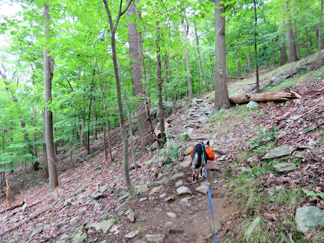
| Things get pretty rocky and rugged now. |
 |
| And steep. |
 |
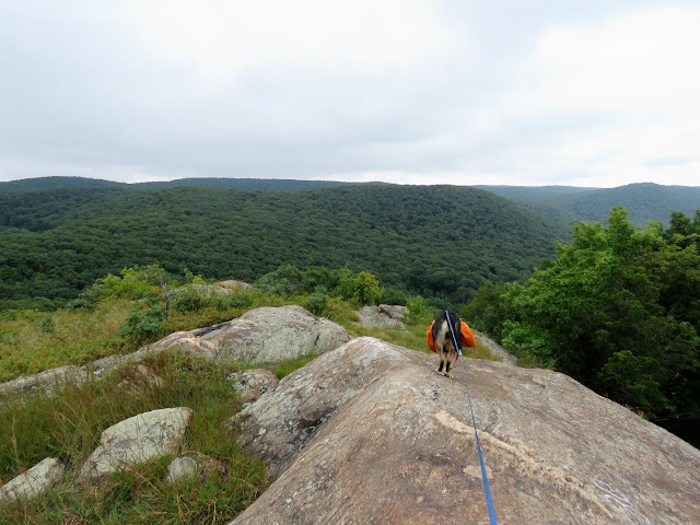
| But it all leads to view after view after view. |
 |
| We detoured up to the first view atop Storm King Mountain for a break but just after sitting down and being the only ones there, it got crowded so we packed up and continued back to ... |
 |
| ... the white Bypass Trail. |
 |
| Another rugged, rocky trail with some scrambles and ... |
 |
| ... more views. |
 |
| The parking lot on Route 9 where the crowds come from via the orange Butter Hill Trail. |
 |
| At the end of white, we turned right on blue. |
 |
| I used one of the Avenza Trail Conference maps for this hike since it was a more updated version than the 2009 print map that I have. It shows exactly where you are at all times and has trail mileages noted where my old print map does not. |
 |
| Blue ends at the Highlands/Stillman Trail where we picked that back up and would be following the rest of the way. |
 |
| Brodie hears the chatter of people going up the orange trail from the Route 9 parking lot. |
 |
| An out-and-back detour on the short white trail... |
 |
| ... to more views. |
 |
| Back on the Highlands/Tillman Trail. |
 |
| It feels like the trail comes out into somebody's driveway ... |
 |
| ... but the blazes go all the way to Mountain Road where we turned left ... |
 |
| ... then left again ... |
 |
| ... through the tunnel under Route 9 which is much less creepy when it is lighter out. |
 |
| Back up along Reservoir Road ... |
 |
| ... back to the parking lot which is much more crowded than at 7:30 AM. |
 |
| Brodie often whines with excitement on the way to a hike but there is not a peep out of him all the way home. |


