ABOUT THE PARK:
Rocky Gap State Park - Maryland Department of Natural Resources
DIRECTIONS:
GPS Coordinates 39.69589, -78.66428
TRAIL MAP:
Rocky Gap State Park Trail Guide - Maryland Department of Natural Resources
HIKE DISTANCE: 9.4 miles
THE HIKE:
Breaking up the drive to St. Louis, MO with some hikes along the way. Hike #1:
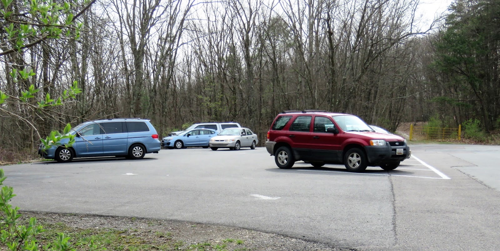
 |
| Leaving the parking lot and continuing on the part of the road closed to cars. |
 |
| Earth Day volunteers picking up litter. We did our part out on the trails. |
 |
| First to the Canyon Overlook, |
 |
| It's pretty overgrown so not a whole lot of canyon to see even with no leaves on the trees. |
 |
| Back out on the paved road and a few steps farther along, left on Evitt's Mountain Homesite Trail. |
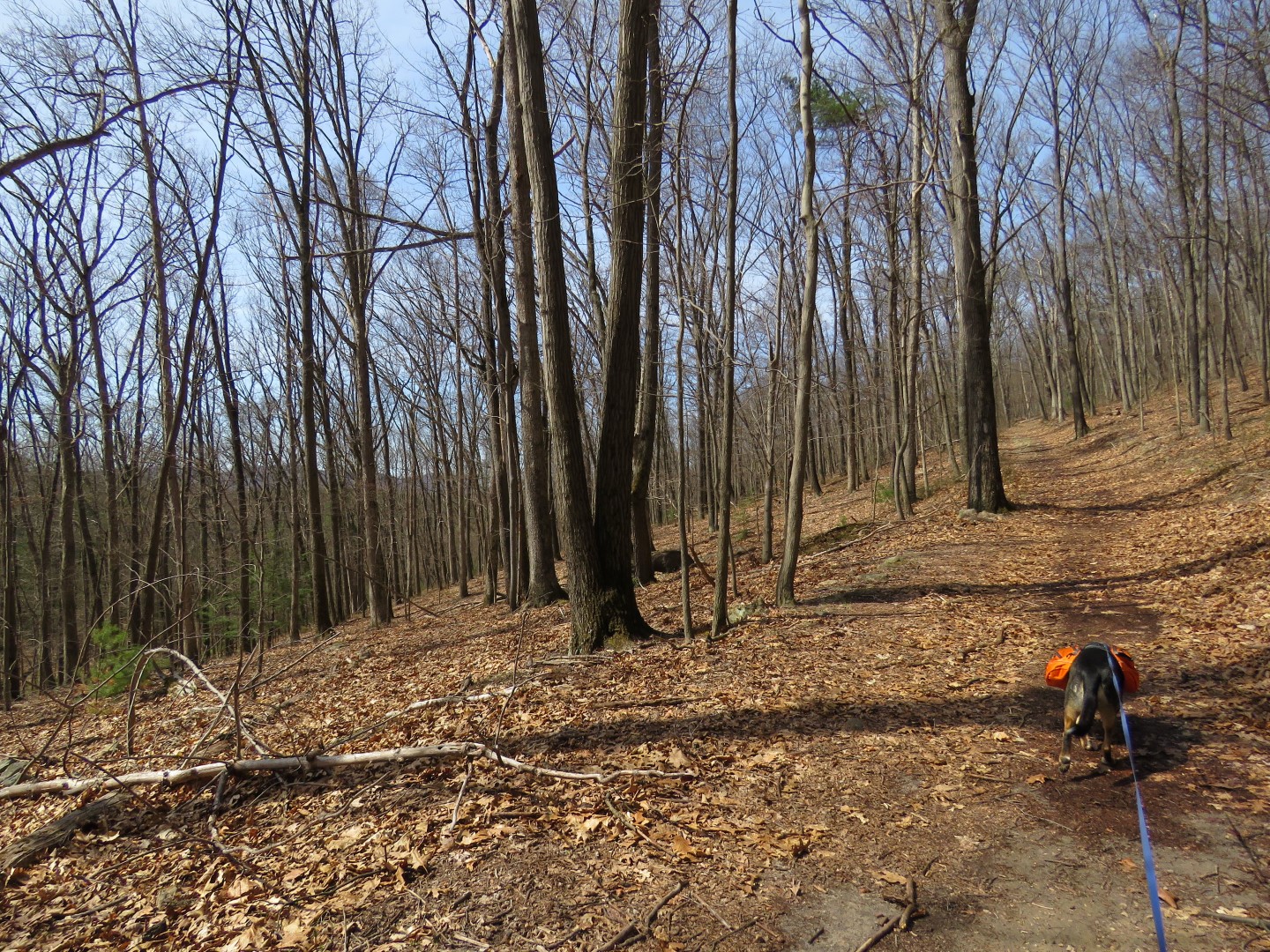
 |
| This trail descends into the canyon ... |
 |
| ... crosses a bridge over Rocky Gap Run ... |
 |
| Rocky Gap Run |
 |
| ... then climbs back up out of the Canyon. |
 |
| At the top of the canyon, left on a wider, smoother woods road. |
 |
| This trail ascends for about the next 2.5 miles. |
 |
| And our Earth Day cleanup begins. |
 |
| Lake Habeeb in the distance. |
 |
| Brodie's backpack was filling up fast. |
 |
| This was a very dirty drink pouch that we put in his poop bag jar. |
 |
| There is a combination of rock and sand on this road going up the mountain, |
 |
| Blue Headed Vireo |
 |
| The trail to Evitt's Homesite. |
 |
| Mr. Evitt would have had a nice view of Lake Habeeb had it existed at the time but it was dammed much later. |
 |
| Some stone ruins. |
 |
| The old well. |
 |
| Continuing on up to the Mason Dixon Line. |
 |
| Some old stone walls on the right. Maybe Mr. Evitt's stone farm walls? |
 |
| Aviation Beacon Tower |
 |
| Maryland/Pennsylvania state line marker. |
 |
| A short distance ahead views to the west in the gas pipe line. |
 |
| And views to the east where we took a break. |
 |
| Hauling all of that litter is exhausting. |
 |
| It is from this point that any normal person would turn back and retrace like you are supposed to do. But I figured if I could go down the VERY STEEP gas pipe line and road walk a short distance I could incorporate half of the lake loop into the hike. What the heck, it's not like I might ever come here again and my motel reservations in Columbus, Ohio had 24 hour check-in, so I had all the time in the world and decided to give it a shot. |
 |
| Found 3 balloons on the way down. |
 |
| The pictures don't capture how steep it was going down. At times it was on loose gravel so it was like walking downhill on marbles. I had to literally inch my way down step by step. Maybe it wasn't such a good idea but there was actually a distinct trail and I sure as heck wasn't going back up. Plus the views were great. |
 |
| Lake Habeeb where I wanted to end up. |
 |
| Easy going once the things level out at the bottom. |
 |
| Looking back you can now appreciate just how steep that was. |
 |
| I might have been OK had I stayed in the gas pipe line but I followed a nice woods road to the right of the pipe line that ran parallel to it thinking it might be a gas pipe line access road. I was wrong. |
 |
| The road where I wanted to be and where I needed to turn right, blocked by barbed wired. Yikes! Fortunately it was clear to the left or I would have had to crawl under the gate. It was at this point that I was thinking I had been trespassing. |
 |
| Looking back, I was right. I should not have been there. Sorry! |
 |
| Right on Pleasant Valley Road for a bit of road walking. |
 |
| Coming up on park property there is a grassy part to walk on. |
 |
| We turned right on the campground access road. |
 |
| The Lakeside Trail Loop comes out there but I wanted the other side so continuing on ... |
 |
| Lake Habeeb |
 |
| ... to where the Lakeside Loop Trail goes around the other side of the lake. |
 |
| Red-breasted Merganser |
 |
| Yellow-rumped Warbler |
 |
| Osprey |
 |
| The dam and spillway. |
 |
| More red-breasted mergansers. |
 |
| Continuing around the lake. |
 |
| We jogged right on a park road then right again a short distance to the Bucy Cemetery on the left. |
 |
| This short trail loops around through the woods ... |
 |
| ... and comes out right at the parking lot on the left. |
 |
| Brodie's Earth Day Contribution |