Showing posts with label NJ Lenape Trail. Show all posts

Tuesday, December 24, 2024

Hilltop Reservation, NJ

ABOUT THE PARK: 
Hilltop Reservation - Essex County Parks

DIRECTIONS:
GPS Coordinates 40.84284, -74.25963
Parking at the Hilltop Reservation Dog Park (entrance to the trails is at the gate where the trash cans are to the right of the dog park sign)

TRAIL MAP:
Hilltop Reservation Map - Hilltop Conservancy (even though the map shows trails colored, other than the Lenape Trail there are no color blazes and the shaped markers are are sometimes sporadic)


HIKE DISTANCE:  3.4 miles

THE HIKE: 
A hike in freshly fallen snow with my 7-year-old granddaughter.
Starting straight ahead beyond the gate to the right of the dog park, however ...
... some technical difficulties resulting in a very sad face.  The mittens she brought were slippery and thick making it impossible to hold the trekking poles.
Grandma's mittens worked.   I always keep extras in my backpack in the winter.
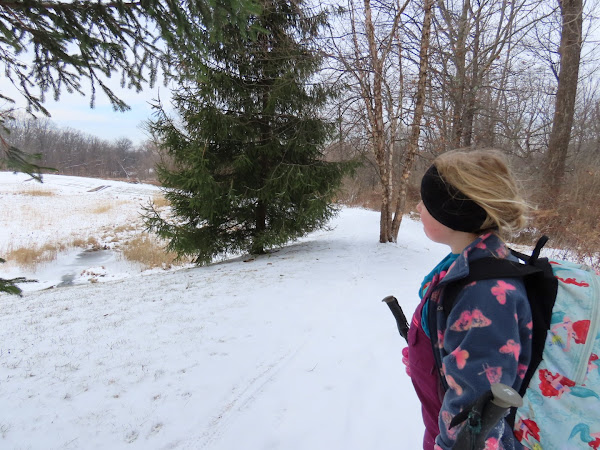
Proceeding with a happy hiker.
We hiked a loop to the far end of the reservation and back the other side but trails were hard to distinguish in the snow so sometimes we had to backtrack to find the trail we needed to be on.
Looping back the other way via the Lenape Trail.
Up ahead to the left of the trash can is the Meadow Trail that traverses where the sanitorium used to stand.
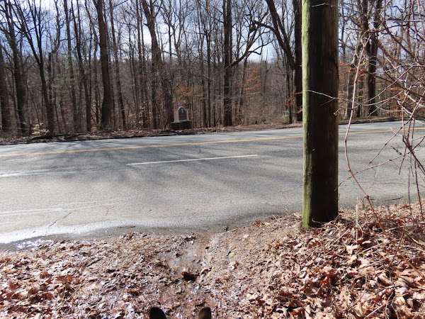
All that remains is the wall along the road.
We noted the fact that it was Christmas Eve and we were on a trail marked with Christmas trees!
Count them, eight dogs.  Wow.

Monday, March 11, 2024

South Mountain Reservation, NJ - Lenape Trail to West Ridge Trail Loop

ABOUT THE PARK:
South Mountain Reservation - Essex County Parks
South Mountain Reservation - South Mountain Conservancy

DIRECTIONS: 
GPS Coordinates 40.72723, -74.30438
Locust Grove Parking Area

TRAIL MAP: 
Lenape Trail Map 7 South Mountain South - New York New Jersey Trail Conference


HIKE DISTANCE:
7.5 miles

THE HIKE: 
It had rained heavily the day before and was forecast to have lasted until 3 AM so that made for very wet and muddy trails with heavily flowing creeks and waterfalls.
The western end of the yellow-blazed Lenape Trail starts unceremoniously with three yellow blazes on the map post.  We would be staying with the Lenape trail for the first 4.6 miles of this hike.
Ascending on a very rocky trail.
Crossing a paved road closed to traffic.
Washington Rock
Washington Rock Overlook
Continuing on to ...
... the Quarry Overlook.
We would be returning on the West Rim Trail which runs along the ridge in the distance.
The Maple Falls Cascades crossing was challenging due to the amount of water so we had to bushwhack upstream for a better crossing. 
Better options for crossing up higher with more shallow water.
Balloon #3 of the year.  I am finding far fewer balloons than I used to - is it because not as many are being released or because more people are picking them up?
There were many more brook crossings but they were all doable at trail level.
Coming up on Buttermilk Falls.
Buttermilk Falls
Hobble Falls
Crossing over South Orange Avenue.
Turning left into the pine grove.
Crossing over ...
Rahway River
Shady Nook Picnic Area
The trail comes out into a field.
Crossing the field to the pedestrian crossing at South Orange Avenue and Brookside Drive.
The trail continues to the right of the billboard across the field and into the woods.
A sign of spring!
When the Lenape Trail turned right, we turned left on an unmarked trail.
This trail follows along South Orange Avenue then veers left on the West Rim Trail ...

... crossing South Orange Avenue.  It's an unnerving crossing with limited visibility from either side and a substantial amount of speeding traffic.
On the other side of South Orange Avenue the West Rim Trail is an unmarked wide woods road for a while.
Marked trails come in from the left.
Balloon #4 of the year.
Spring!
When the blue/white trail came in from the left, we turned right to loop through  ...
The Alley of Trees
Coming back out to continue on the West Rim Trail.
The West Rim Trail narrows and becomes more of a footpath.
The West Rim Trail ends at the field where to veered right ...
... to the back of the map post ...
... to pick up the blue-blazed Elmdale Trail.
At this bench a side trail to the left ...
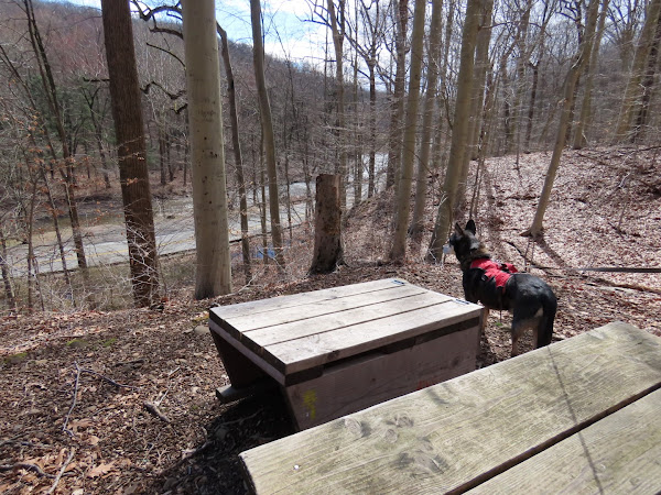
... leads to a bench with a coffee table?  Have never seen that before.  I noticed that Brookside Drive seemed awfully quiet with no traffic at all then noticed joggers coming down the middle of the road and figured the road was closed.
A jogger on Brookside Drive.  Love that the road was closed - no traffic noise and no other people around with no access to parking lots along Brookside Drive.  
The Elmdale Trail ends at Glen Avenue ...
... where we were able to cross Brookside Drive easily at the barricades.
A short distance along Glen Avenue on a sidewalk then a left turn just after the bridge ...
... to climb up on an unmarked trail along the Rahway River.
This runs directly into the Fairy Trail where we turned right.
The Fairy Trail runs all the way back to the Locust Grove Parking Lot.
A very wet and muddy dog.