
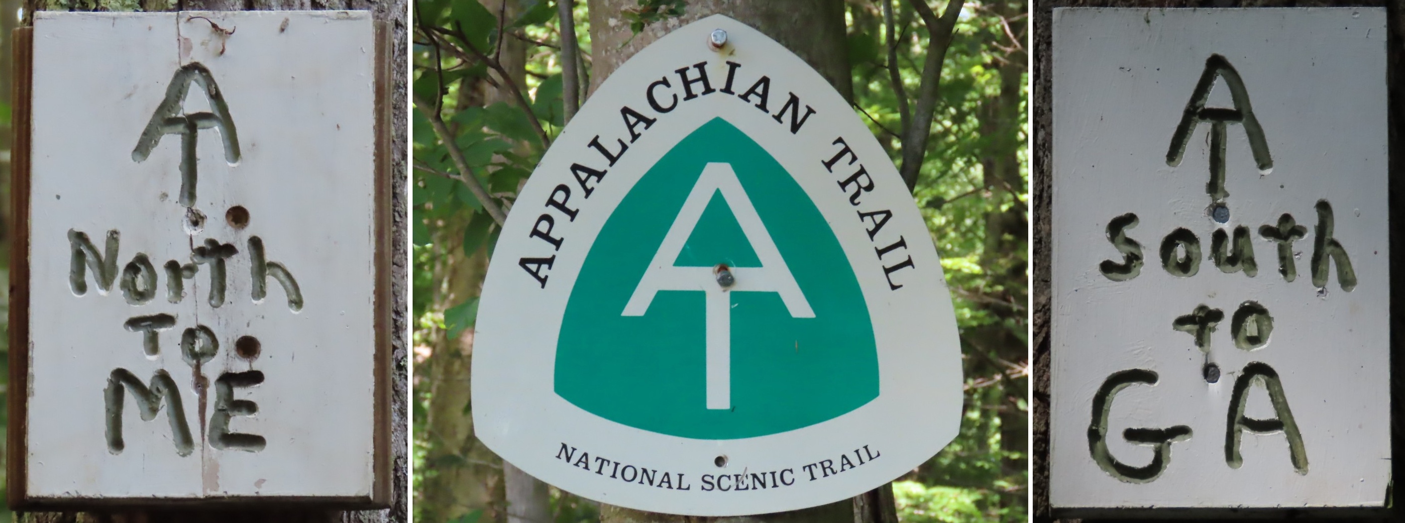
Appalachian Trail New York - Appalachian Trail Conservancy
DIRECTIONS:
GPS Coordinates 41.54574, -73.71542
 |
| Parking along Stormville Mountain Road |
TRAIL MAP:
New York/New Jersey Guide Book and Maps - Appalachian Trail Conservancy
HIKE DISTANCE: 12.6 miles (6.3 miles each way)
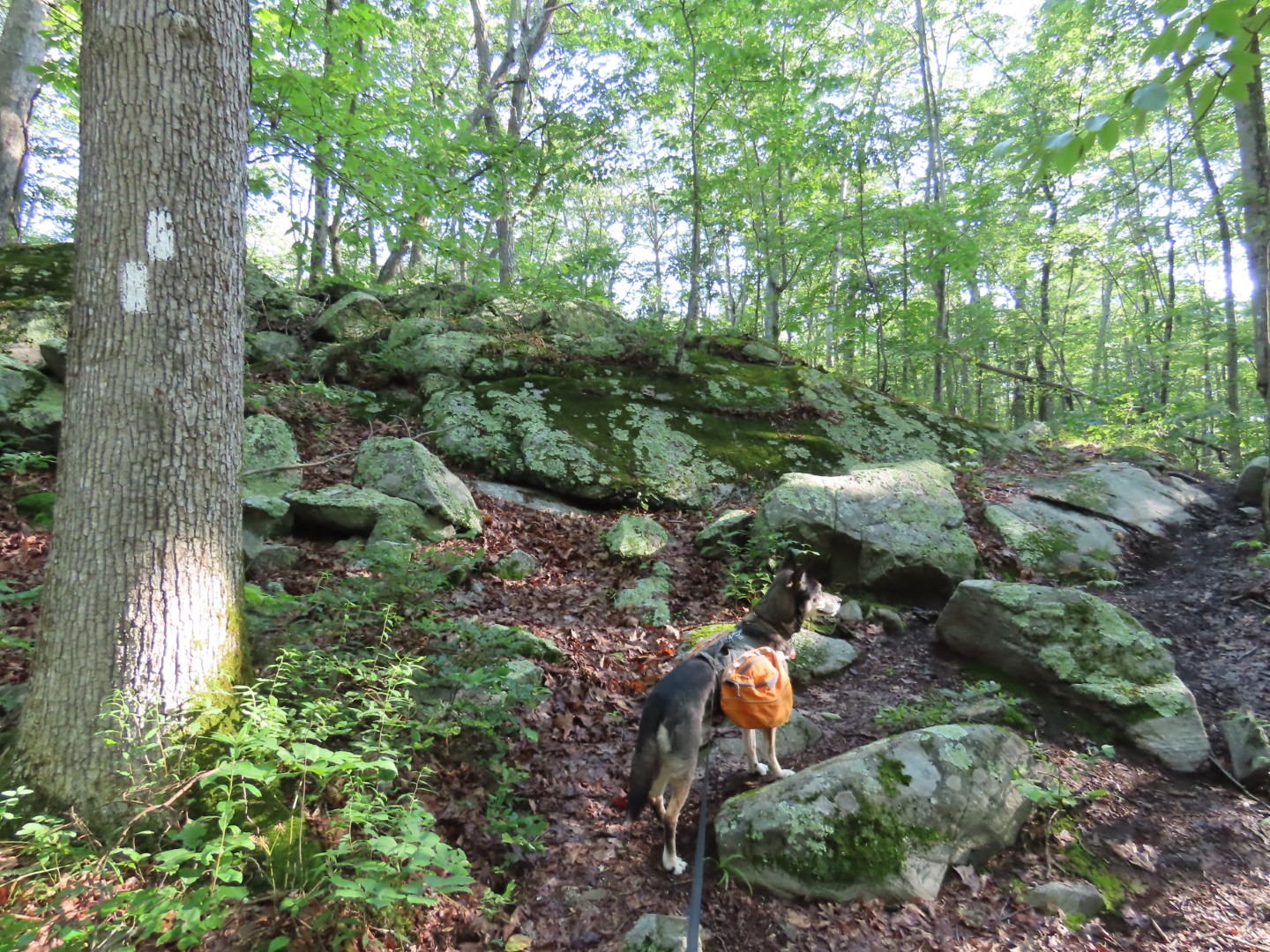
THE HIKE:
 |
| Walking back to the intersection of Stormville Mountain Road and Mountain Top Road ... |
 |
| ... where the Appalachian Trail heads north through the break in the guardrail. |


 |
| A blue blazed trail to the left ... |
 |
| ... appears to be a connection to a residential neighborhood. |


 |
| Coming up on an overlook. |
 |
| It was very hazy in the morning but would be more clear coming back later. |

 |
| Morgan Stewart Memorial Shelter |


 |
| Crossing Depot Hill Road. |

 |
| Balanced Rock |
 |
| Over a creek and up steps to ... |
 |
| ... old railroad tracks and ... |
 |
| ... the Maybrook Trailway Bike Path. |
 |
| Bridge over Whaley Lake Stream. |


 |
| Crossing Old Route 55. |

 |
| Crossing Route 55 is a bit trickier - even with no cars in sight, by the time you run to the other side, cars are already closing in. |
 |
| Through a power cut. |
 |
| There is trail magic for thru hikers all along the way. |

 |
| My turn around point was at the Beekman Uplands Loop Trail on the left. This is where I left off in June 2018. |


 |
| Taking a break at the shelter. |
 |
| Coming back up on the overlook ... |
 |
| ... the haze was all gone. |


No comments:
Post a Comment