Showing posts with label NJ Allamuchy Mountain State Park. Show all posts

Sunday, November 17, 2024

Allamuchy Mountain State Park, NJ - Deer Park Pond

ABOUT THE PARK: 

DIRECTIONS: 
GPS Coordinates 40.90343, -74.82292
A new parking lot on Route 517 across from Panther Valley Mall.

TRAIL MAPS: 
Morris County Highlands Trails Map 126 - New York New Jersey Trail Conference


HIKE DISTANCE: 7.5 miles

THE HIKE: 
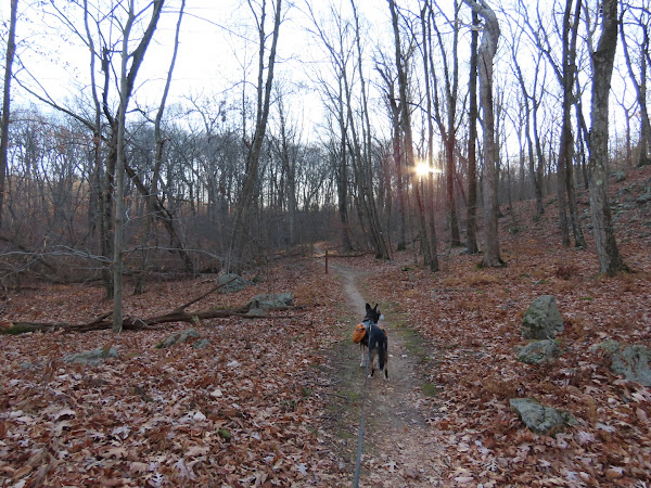
The trail starts to the right of the parking lot.
There are Allamuchy Pond Trail markers but only the eastern side of that loop exists.
The Allamuchy Pond Trail leaves to the left heading towards Allamuchy Pond; we continued straight.
Coming out at a parking lot ...
... we made a hard right turn.
The teal Highlands Trail joins in.
Coming up on Deer Park Pond.
Following the trails that loop around the pond.
Leaving the pond ...
... and passing by where we had taken the white trail earlier to retrace back to the parking lot.
In the distance, an old Allamuchy Pond Trail marker for the western side of what used to be a loop, now completely overgrown.

Sunday, September 8, 2024

Allamuchy Mountain State Park, NJ - Jefferson Lake Loop

ABOUT THE PARKS: 

DIRECTIONS: 
GPS Coordinates 40.92156, -74.73881
Sussex Branch Parking

TRAIL MAPS: 
Morris County Highlands Trails Map 126 - New York New Jersey Trail Conference


HIKE DISTANCE:  9 miles

THE HIKE: 
Starting on the Sussex Branch Trail.
The light up ahead is the clearing where Jefferson Lake is.
Just before the lake, a right on the Byram Trail.
Jefferson Lake
Coming out on a residential street for a short distance.
At the intersection there is a path on the left ...
... that leads to ...
Jefferson Lake.
Continuing on following the path to the right to ...
... the boat launch parking ...
... then left across the dam.
The sign on the right is very faint but it says "TRAIL ----->"
Oh no, what is this "bridge closed" sign?
Rats!  That totally destroys the hike I had planned.  However it appeared others had gone on over the bridge via an opening to the left of the fencing.
So I went on around then VERY carefully over staying to the far left and ...
... on we went.  
At the fork we left the gravel path to the left on a dirt footpath.
At the end of that path, left on the Highlands Trail.
When the Highlands Trail turned left, we turned right on an unmarked trail.
We worked our way around on unmarked trails over to the Sussex Branch Trail up ahead ...
... then turned left for a short distance ...
... to a right on the blue Iron Mine Trail.  (Keeping straight on the Sussex Branch Trail would make it about a 4.5 mile hike.)
At the double left turn blazes, we went right on unmarked.
Those were a couple of large rocks that had been pulled up out of the ground.  No doubt a bear looking for his dinner of bugs.
Right on red.
Right on unmarked.
Left on white.
And at the fork right on yellow.
Stopping at the overlook for views of the Musconetcong River and Waterloo Lakes.
Tilcon Lake
Leaving the overlook on the Highlands Trail.
Right on yellow/white.
Staying on white when yellow leaves to the right.
Right on the Sussex Branch Trail back to the parking lot.