Ramapo Valley County Reservation - Bergen County
 |
| Lake Henry is directly across the Ramapo River from the Ramapo Valley trails so you have to drive around to get there. |
DIRECTIONS:
GPS Coordinates 41.07770, -74.18734
 |
| Ramapo Valley County Reservation Parking Lot |
Lake Henry GPS Coordinates 41.08145, -74.18409
 |
| Lake Henry Parking Behind the Recreation Center |
TRAIL MAPS:
Northern New Jersey Highlands Trails Map 150 - New York New Jersey Trail Conference
HIKE DISTANCES:
Ramapo Valley County Reservation - 8.6 miles
Lake Henry Trail - 1.1 mile
THE HIKE:
This is the second weekend in a row where microspikes were needed for the entire hike. So much ice this year!
 |
| Starting from the far left corner of the parking lot at the kiosk. |
 |
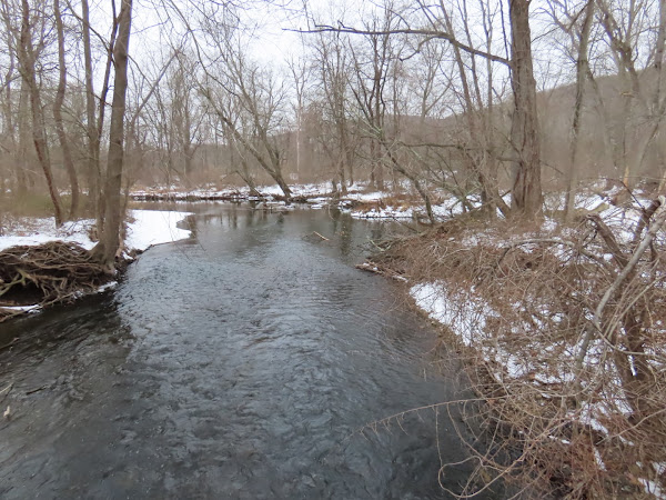
| At the break in the railing there is a short trail to the right along the Ramapo River. |
 |
| We went as far as we could go ... |
 |
| ... then headed back. |
 |
| Pond Loop Trail |
 |
| Scarlet Oak Pond |
 |
| Right over the bridge on the yellow Vista Loop. |
 |
| View from Hawk Rock |
 |
| New York City Skyline |
 |
| Continuing on to ... |
 |
| ... views from Cactus Ledge. |
 |
| Taking the green Halifax Trail all the way to Bear Swamp Lake. |
 |
| Crossing a gas pipeline that we would be crossing a few more times later on. |
 |
| The Halifax Trail come out on a woods road. |
 |
| A raccoon heading to Havemeyer Brook. There were lots of raccoon tracks throughout. |
 |
| Halifax Ruins |
 |
| The trail leaves the woods road on a footpath. |
 |
| Crossing back over Havemeyer Brook |
 |
| Wild Turkey |
 |
| A section with no human tracks only raccoon and coyote tracks intermingled. |
 |
| Leaving green on yellow ... |
 |
| ... then blue. |
 |
| Coming up on Bear Swamp Lake. |
 |
| A small bear heading towards his namesake, Bear Swamp Lake. |
 |
| Bear Swamp Lake from the far end. |
 |
| Heading back to ... |
 |
| ... right on red. |
 |
| MacMillan Reservoir |
 |
| Yellow trail to the waterfalls. |
 |
| Trail along the Ramapo River. |
 |
| Back at the parking lot. |
Fast Forward to Lake Henry
 |
| Since this was only one mile I left Brodie in the car. |
 |
| Lake Henry |
 |
| Ramapo River from the bridge. |
 |
| Several short side trails lead over to the Ramapo River. |
 |
| A swan in the Ramapo River just as it was starting to snow. |
 |
| Snow falling on Lake Henry. |
 |
| On the way out, passing by the New York New Jersey Trail Conference headquarters which is between Lake Henry and Ramapo Valley County Reservation. |


