

South Mountain Reservation - Essex County Parks
South Mountain Reservation - South Mountain Conservancy
DIRECTIONS:
GPS Coordinates 40.72723, -74.30438
 |
| Locust Grove Parking Area |
TRAIL MAP:
Lenape Trail Map 7 South Mountain South - New York New Jersey Trail Conference
THE HIKE:
It had rained heavily the day before and was forecast to have lasted until 3 AM so that made for very wet and muddy trails with heavily flowing creeks and waterfalls.
 |
| The western end of the yellow-blazed Lenape Trail starts unceremoniously with three yellow blazes on the map post. We would be staying with the Lenape trail for the first 4.6 miles of this hike. |
 |
| Ascending on a very rocky trail. |


 |
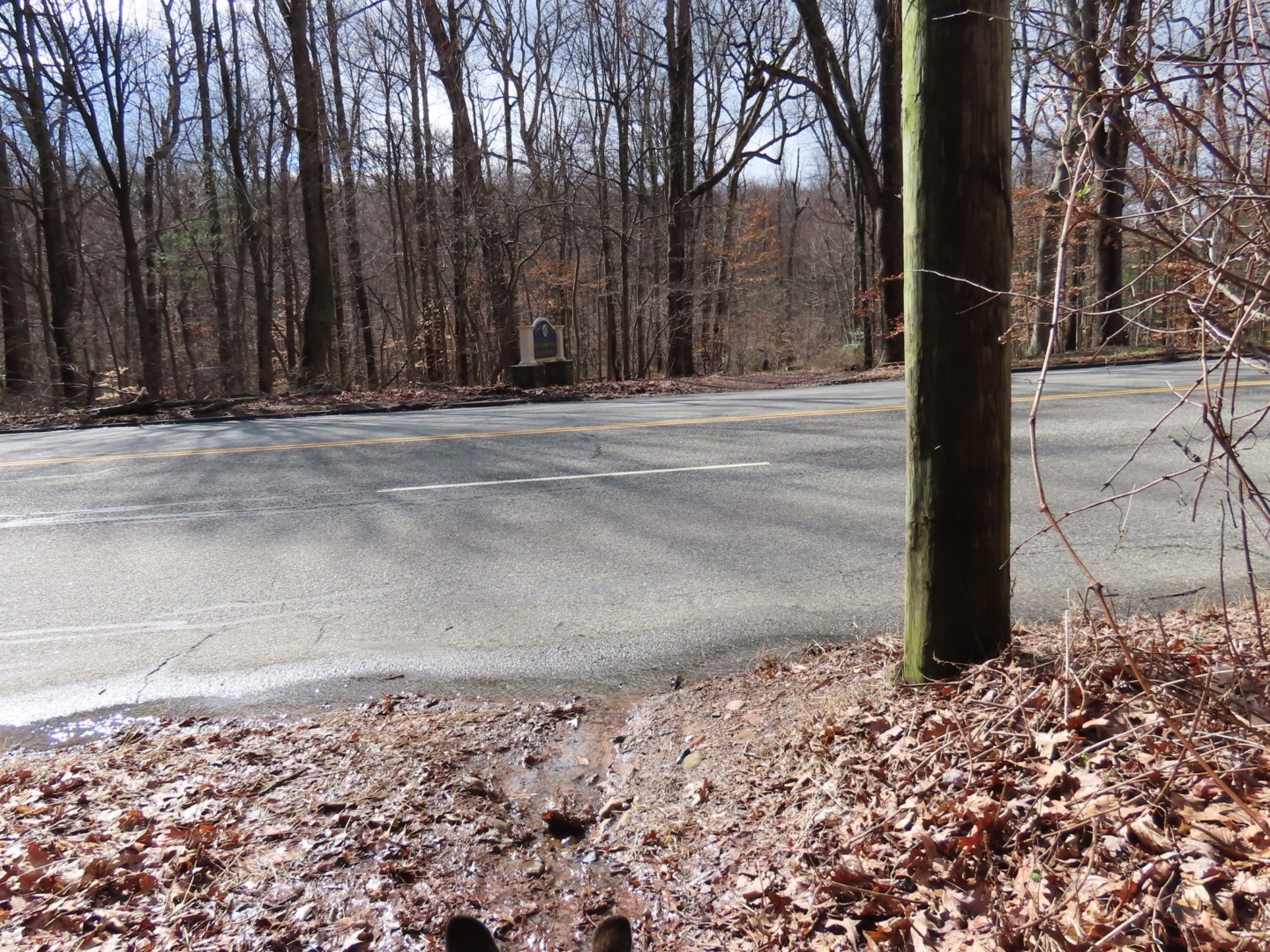
| Crossing a paved road closed to traffic. |


 |
| Washington Rock |
 |
| Washington Rock Overlook |
 |
| Continuing on to ... |
 |
| ... the Quarry Overlook. |

 |
| We would be returning on the West Rim Trail which runs along the ridge in the distance. |


 |
| The Maple Falls Cascades crossing was challenging due to the amount of water so we had to bushwhack upstream for a better crossing. |
 |
| Better options for crossing up higher with more shallow water. |

 |
| Balloon #3 of the year. I am finding far fewer balloons than I used to - is it because not as many are being released or because more people are picking them up? |
 |
| There were many more brook crossings but they were all doable at trail level. |


 |
| Coming up on Buttermilk Falls. |

 |
| Buttermilk Falls |


 |
| Hobble Falls |


 |
| Crossing over South Orange Avenue. |
 |
| Turning left into the pine grove. |


 |
| Crossing over ... |
 |
| Rahway River |
 |
| Shady Nook Picnic Area |

 |
| The trail comes out into a field. |

 |
| Crossing the field to the pedestrian crossing at South Orange Avenue and Brookside Drive. |
 |
| The trail continues to the right of the billboard across the field and into the woods. |


 |
| A sign of spring! |

 |
| When the Lenape Trail turned right, we turned left on an unmarked trail. |
 |
| This trail follows along South Orange Avenue then veers left on the West Rim Trail ... |
 |
| ... crossing South Orange Avenue. It's an unnerving crossing with limited visibility from either side and a substantial amount of speeding traffic. |
 |
| On the other side of South Orange Avenue the West Rim Trail is an unmarked wide woods road for a while. |
 |
| Marked trails come in from the left. |

 |
| Balloon #4 of the year. |
 |
| Spring! |

 |
| When the blue/white trail came in from the left, we turned right to loop through ... |
 |
| The Alley of Trees |
 |
| Coming back out to continue on the West Rim Trail. |
 |
| The West Rim Trail narrows and becomes more of a footpath. |
 |
| The West Rim Trail ends at the field where to veered right ... |
 |
| ... to the back of the map post ... |
 |
| ... to pick up the blue-blazed Elmdale Trail. |


 |
| At this bench a side trail to the left ... |
 |
| ... leads to a bench with a coffee table? Have never seen that before. I noticed that Brookside Drive seemed awfully quiet with no traffic at all then noticed joggers coming down the middle of the road and figured the road was closed. |

 |
| A jogger on Brookside Drive. Love that the road was closed - no traffic noise and no other people around with no access to parking lots along Brookside Drive. |

 |
| The Elmdale Trail ends at Glen Avenue ... |
 |
| ... where we were able to cross Brookside Drive easily at the barricades. |
 |
| A short distance along Glen Avenue on a sidewalk then a left turn just after the bridge ... |
 |
| ... to climb up on an unmarked trail along the Rahway River. |

 |
| This runs directly into the Fairy Trail where we turned right. |


 |
| The Fairy Trail runs all the way back to the Locust Grove Parking Lot. |
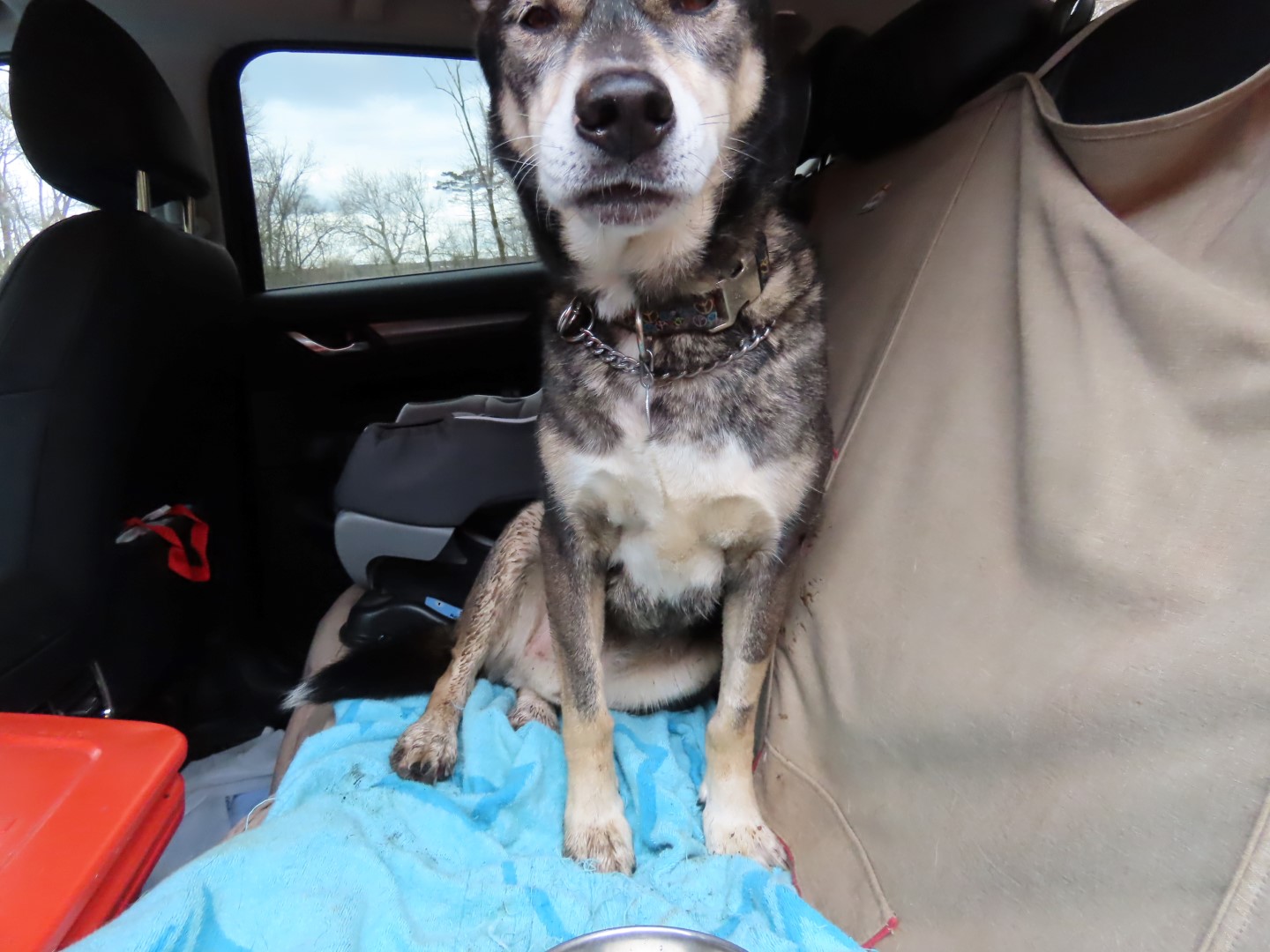 |
| A very wet and muddy dog. |
No comments:
Post a Comment