ABOUT THE PARK:Harriman State Park - New York State Parks
DIRECTIONS:GPS Coordinates 41.22523, -74.09120
 |
| Hiker parking off of St. John's Road. |
HIKE DISTANCE: 7.9 miles
THE HIKE:
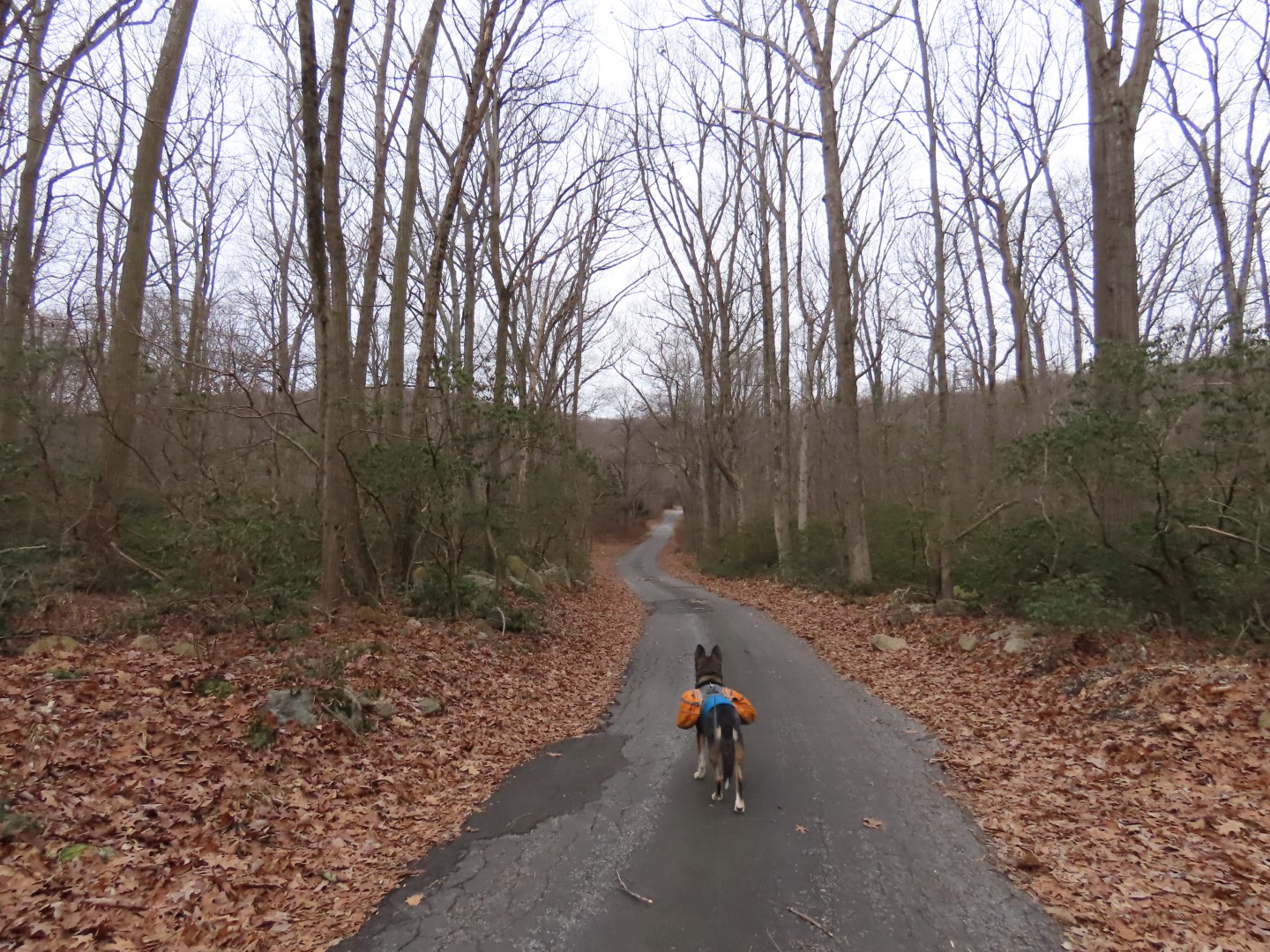
There was a random section of Long Path through Harriman State Park that I had not hiked yet which was easily accessed by the hiker parking lot off of St. John's Road.
 |
| Walking out of the hiker parking lot to St. John's Road where we turned right. |
 |
| Looking back at the parking lot entrance road. |
 |
| St. John's Road |
 |
| Passing St. John's In-the-Wilderness church on the right. |
 |
| St. John's Road ends at Lake Welch Drive where it is closed to the right for the winter season. |
 |
| On the left just before Lake Welch Drive, left on the Long Path. |
 |
| Where the Long Path turned left, I continued on a short distance to turn right on Cranberry Mountain Trail which is a paved road, currently closed to traffic. |
 |
| Right on Old Turnpike ... |
 |
| ... to the end at Lake Welch Drive. |
 |
| Gated Old Turnpike at Lake Welch Drive. |
 |
| Road walking back to St. John's Road on Lake Welch Road. This part is open to traffic but there isn't much since it is gated for the winter up ahead. |
 |
| St. John's Road on the right that says "road closed" but is accessible to the parking lot. I think it means closed to through traffic but it doesn't stop those using it to cut over to route 106. |
 |
| Across from St. John's Road on the left, picking up the Long Path again. |
 |
| Cellar ruins. |
 |
| An old growth tree on what looks to be an old homestead. |
 |
| At the blue Beech Trail I completed my missing section of Long Path and continued left on the Long Path. |
 |
| The Long Path turns right briefly on Route 106 where there was a fair amount of traffic going well in excess of the 30 mph speed limit. |
 |
| The Long Path continues to Lake Askoti. |
 |
| At Lake Askoti where the Long Path turns left, we turned right. |
 |
| Lake Askoti |
 |
| This turns into a gravel path in a power cut. |
 |
| Leaving the power cut to the right on an unmarked trail. |
 |
| This trail was mostly clear and easy to follow ... |
 |
| ... with a few overgrown sections ... |
 |
| ... and some blow downs. No maintenance on this old trail but it is apparently still used since it exists. |
 |
| Pileated Woodpecker |
 |
| The trail ends at a woods road where we turned right. |
 |
| At a cairn we turned right on a trail ... |
 |
| ... that still has old red markers from when it was the Rockhouse Mountain Trail. Another currently unmaintained trail that is still being used. |
 |
| Right on the blue Beech Trail. |
 |
| The Beech Trail crosses over Route 106 but we turned left for a short road walk ... |
 |
| ... to Lake Welch Drive up ahead. |
 |
| To get up to Lake Welch Drive, cross over to the right ... |
 |
| ... and follow a path steeply uphill. |
 |
| This part of Lake Welch Drive is closed to traffic from December to April ... |
 |
| ... so you can hopscotch right down the middle with no fear of traffic. |
 |
| At the end of this guardrail, it's a left back to the parking lot but I wanted to see if I could find Barnes Mine on the right first. |
 |
| There were so many herd paths through the field that I tried to follow but ended up on Pole Brook Mountain and had to bushwhack back down a bit. |
 |
| St. John's In-the-Wilderness Church from up above. |
 |
| Balloon #1 of 2024 |
 |
| Barnes Mine |
 |
| Just beyond Barnes Mine I saw red markers and followed those for a bit. |
 |
| This would lead back to the Long Path where I had been earlier but I retraced because I had seen the old access road to Barnes Mine and wanted to follow that back to see where it came out in that field full of herd paths. Note that the red markers only exist heading to the Long Path. Heading back in the direction of the mine there are no markers so the trail would be hard to find in that direction. |
 |
| Having just passed Barnes Mine on the left, on the old access road. |
 |
| Coming out at that field ... |
 |
| ... where I grabbed balloon #2 of 2024. |
 |
| Looking back from Lake Welch Drive, the access road to the mine is to the left around the back of that boulder. |
 |
| Crossing over Lake Welch Drive to the trail back to the parking lot. |
 |
| Back at the parking lot opposite from where we started the hike. |