

Bear Mountain State Park - New York State Parks
DIRECTIONS:
 |
| Hiker lot off of Seven Lakes Drive. |
TRAIL MAP:
Northern Harriman Bear Mountain Trails Map 119 - New York New Jersey Trail Conference
Bear Mountain Trail Status Map Updated September 2024 Many trails in the area are still closed from 2023 storm damage. All trails for this hike are open.

THE HIKE:
 |
| Starting on the 1777 Trail opposite the parking lot. |

 |
| North on the Appalachian Trail all the way up Bear Mountain. |

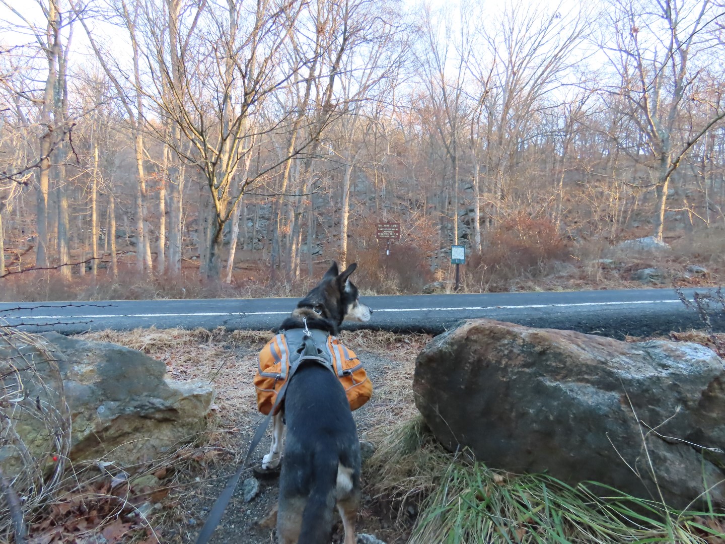 |
| Crossing Seven Lakes Drive. |

 |
| Most of the AT has been rerouted since I hiked this almost exactly 13 years ago. |


 |
| There are lots of steps now. |
 |
| Lots of steps. |


 |
| Right on blue leaving the Appalachian Trail. |

 |
| Perkins Memorial up ahead. |
 |
| Perkins Memorial Drive is closed from December 1 - March 31 so with no way for cars to drive up, there is no traffic and there are very few people. |


 |
| New York City Skyline |

 |
| Heading south on the AT on the accessible portion. |


 |
| Continuing to the left to the overlook. |


 |
| After retracing a bit, left on the Major Welch Trail. This trail is no joke going down. It descends very steeply. |
 |
| There are lots of views on the way down. |
 |
| Popolopen Torne in the distance. |
 |
| Hudson River with Bear Mountain Bridge and Anthony's Nose to the right. |


 |
| At the bottom, left on the trail around Hessian Lake. |
 |
| Truth. There was no such sign at the top that I saw. I have descended worse, though. |


 |
| The Appalachian Trail joins in from the left. |
 |
| At this intersection, heading left on the Suffern-Bear Mountain Trail. |
 |
| Just before the ice skating rink the trail turns right. |

 |
| The trail now zig zags through a power cut, a reroute from what it was 13 years ago. |
 |
| It was a gorgeous and warm day, warm enough for this teensy bitsy spider to wake up. |


 |
| The trail crosses back over Seven Lakes Drive. |

 |
| At the current time you can only turn right at this intersection. The trail to the left is closed from storm damage. |
 |
| Same at the next intersection, straight on 1777 is the only way to go at this time. |


 |
| Left on 1777/Appalachian Trail staying on 1777 when the AT leaves to the left ... |
 |
| ... back to the parking lot. |
In keeping with tradition, a slideshow of one picture from each hike of 2024.