Big Elk Creek State Park - Pennsylvania DCNR
Big Elk Creek State Park was added to the Pennsylvania state park system in September 2022.
The Springlawn Trail - Chester County Press
Fair Hill Natural Resource Management Area - Maryland Department of Natural Resources
DIRECTIONS:
GPS Coordinates 39.73509, -75.87536
 |
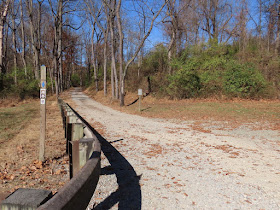
| Springlawn Trail Parking |
TRAIL MAPS:
Big Elk Creek State Park - There was a map online when I planned the hike but it is no longer there, just a blank page. It only showed the Springlawn Trail so it was not very helpful. Perhaps a more updated map is in the works.
Fair Hill NRMA Map and Brochure - Maryland Department of Natural Resources
HIKE DISTANCE: 9.7 miles
THE HIKE:
To capture the last of fall foliage, I headed south to the Pennsylvania/Maryland state line. Most of this hike follows trails along Big Elk Creek.
 |
| When this became a state park, 70,000 trees and shrubs were planted on former farm fields. Scenes like this will be throughout the park. |
 |
| I was not aware of any side trails as the map that had been online did not show them. So of course I had to check them out. |
 |
| This side trail leads to Big Elk Creek but it was not a particularly scenic part of the creek. |
 |
| Back on the Springlawn Trail. |
 |
| Papermill ruins. |
 |
| Taking the second side trail which loops back to the Springlawn Trail. |
 |
| Turning left back on the Springlawn Trail. |
 |
| At Strickersville Road, turn right ... |
 |
| ... and road walk a short distance to the pullout parking up ahead on the left. |
 |
| At the far end of the pullout parking a trail to the left ... |
 |
| ... continues through Big Elk Creek State Park. |
 |
| Following along a path at the edge of a field to the end ... |
 |
| ... where the plan was to return from the left. |
 |
| Good thing I took a look first because that water crossing was not happening. |
 |
| So I had to adjust the plan on the fly. Turned right instead and followed the PA/MD state line. |
 |
| Turning left on a trail into Fair Hill NRMA. |
 |
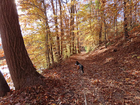
| Picking up the orange trail which ascends above Big Elk Creek and is incredibly scenic, much more so than the pictures show. |
 |
| Coming out at Black Bridge Road ... |
 |
| ... where we turned left and crossed the bridge ... |
 |
| ... then left again. |
 |
| Left on a path ... |
 |
| ... to a concrete bridge over Big Elk Creek. |
 |
| A trail to the right leads uphill along Big Elk Creek. |
 |
| This comes back out at the point where the undoable water crossing was. Now retracing back. |
 |
| There are more papermill ruins on the left. |


No comments:
Post a Comment