ABOUT THE PARK:
Note that at the present time these trails are not in very good shape and in mid-May some are already very overgrown. There is also flooding and bridge construction in progress near Turtle Pond making the trails inaccessible.
DIRECTIONS:
GPS Coordinates 41.484748, -73.602557
 |
| For Turtle Pond: Pullout parking along Cornwall Hill Road across from Devon Road. I had intended to park here and hike all of the trails from one parcel to the next and back but when that as not possible I moved on to... |
GPS Coordinates 41.488357, -73.601543
 |
| Literally around the corner from Turtle Pond is a small parking lot with room for 4 cars at Tom's Path. |
TRAIL MAP:
There is no trail map. The trails on the Gaia app are noted as "guess". This is what I came up with from what I was able to hike, color coded to the actual trail marker colors:
HIKE DISTANCE: 2 miles
THE HIKE:
TURTLE POND:
 |
| Right off the bat I noticed wood for constructing something on the trail. |
 |
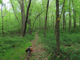
| Turning right at the kiosk, heading towards Turtle Pond on white. There were yellow markers going straight from the kiosk; we would be returning that way. |
 |
| There are dramatic cliffs and rock ledges up ahead but I could not get close enough to see them well. |
 |
| At some point the yellow trail comes in from the left and the trail is now yellow. |
 |
| And this is as far as we could go. |
 |
| Looks like everything is flooded out and a new bridge was up ahead with more materials around for more bridges. |
 |
| Heading back. |
 |
| Where the trail becomes white, veered right on yellow thinking that might offer a connection to the upper trails but I did not see that. Just ended up looping back to the kiosk. |
TOM'S PATH AND STERLING FARM: |
| From the Tom's Path parking lot, taking the yellow trail around a loop. |
 |
| The trail starts out clear and well-defined. |
 |
| At the far end it starts to become overgrown. |
 |
| Ending back at the parking lot in only .2 miles. |
 |
| Since I knew the Sterling Farm parcel would just be a short road walk away, we headed there, just before the bend up ahead on the right. |
 |
| That started out very muddy and swampy. |
 |
| This trail was also very overgrown. I would imagine it would be impassible come summer. |
 |
| The overgrowth of mountain laurel was the most difficult part to get through. |
 |
| At the top of a very steep climb, the yellow trail connecting over to Turtle Pond. |
 |
| This trail was much clearer. |
 |
| I followed it until it started to descend steeply. Having already climbed up very steeply three times that day, I decided I did not have another one in me and if I went down I would have to come back up. So I retraced back to red. |
 |
| I then saw the start of a blue trail and followed that for a bit. But when it headed in a direction opposite of where I wanted to go, I retraced to red. |
 |
| Red descends very steeply and is not nearly as overgrown on this side. |
 |
| Coming back out on the road with a random blue marker. No other blue markers in sight so I don't think the blue trail I was on loops back here. |
 |
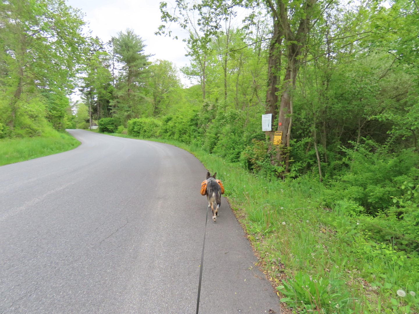
| Turning left on the road for a short road walk back. |
 |
| I was surprised to see the small parking lot full of cars when I returned. A man approached me and asked where I had been hiking because they were disappointed to find Tom's Path to be so short. When I explained to him where I had been, he said they had done the exact same things - got nowhere at Turtle Pond because of the flooding, and bailed on the Sterling Farm trails because they were afraid of ticks with the overgrowth. |


No comments:
Post a Comment