ABOUT THE PARK:
DIRECTIONS:
GPS Coordinates 40.41196, -76.93003
 |
| Appalachian Trail Parking Lot on Route 225 |
TRAIL MAP:
HIKE DISTANCE: 13.1 miles
THE HIKE:
This hikes starts southbound on the Appalachian Trail crossing the pedestrian bridge from the parking lot over Route 225 to travel the ridge of Peters Mountain with tons of winter views.
 |
| Before this bridge was built in 2003, you had to go down and cross very dangerous Route 225 at that hairpin curve with very limited visibility. |
 |
| A much safer crossing. |
 |
| On the Appalachian Trail. |
 |
| There are tons of winter views along this route. First to the west. |
 |
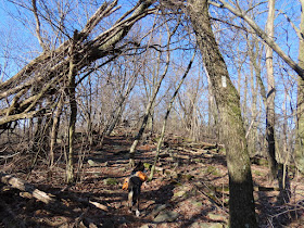
| Of course there are the pointed rocks those who have hiked the AT in PA come to expect but it's really not that bad along this ridge. For the first 4.5 miles the rocky parts alternate with long stretches of nice smooth trail. |
 |
| A little bit of a view west at the first power cut. |
 |
| Sometimes the trail follows the point of the ridge with views both east and west. |
 |
| Now over on the other side of the ridge, views to the east. |
 |
| The Susquehanna River |
 |
| There is a fairly long stretch of smooth woods road. |
 |
| The smooth woods road ends just before the second, larger power cut. |
 |
| View west with the Susquehanna River in the foreground and the Juniata River in the background with the confluence of the two rivers at the bridge to the left. We'd be crossing that bridge later. |
 |
| The Clark's Ferry shelter down below. |
 |
| The blue trail on the right would be our return route later on. |
 |
| It is the 1-mile Susquehanna Trail which bypasses the most difficult part of this hike, coming up next. |
 |
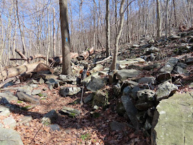
| It becomes much rockier. |
 |
| I think it was up ahead from this picture where two men were coming down a steep scramble and remarked that they did not know how I would get Brodie up. So they assisted, grabbing Brodie by the handle on his harness and hoisting him up. Then I got a boost up, too. So nice of them and with as few people as I ran into, what a coincidence that I happened to run into them at this difficult scramble. I would have been able to make it but yes, getting Brodie up would have been a whole other story. They assured me that was the worst of it, the rest was not so bad. |
 |
| Still rocky all the way to where the trail starts to switchback down. |
 |
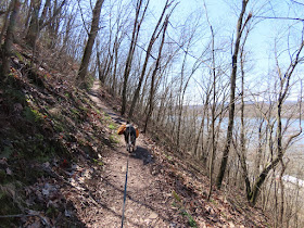
| Now it's a smooth switchback the rest of the way down. |
 |
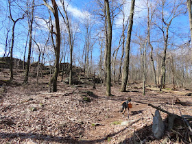
| From "Exploring the Appalachian Trail - Hikes in the Mid-Atlantic States" this is an old stone foundation for a mule barn that was part of the Berkeheimer Farm which burned between 1910 and 1920. |
 |
| The other end of the blue-blazed Susquehanna Trail. I had to decide now whether to turn her as planned to make the hike 10.1 miles of proceed down to the bridge to cross the river. It did not look like that much more of a descent so what the heck, may as well while I am here. |
 |
| Continuing on down. |
 |
| At this point you have to cross live railroad tracks. I looked both ways three times then crossed quickly because trains do come barreling down those tracks. |
 |
| Then it's a left over to the pedestrian bridge. |
 |
| Crossing the Susquehanna River. |
 |
| I had seen this little park just over the bridge so headed over to a bench to get rocks out of my shoes. |
 |
| This was a very interesting sign with lots of historical information about the bridge we had just crossed. At the end of the hike I ran into a man with his 4-year-old son. He asked how far I had gone and I told him to the other side of the bridge. He asked if I had seen this sign and I told him yes, it was really nice. He said it was his older son's scout project. Wow! |
 |
| Heading back. |
 |
| Looking back at that little park we had just been at, at the confluence of the Susquehanna and Juniata Rivers. The AT continues from there across the Juniata River on a bridge but that is for another day. |
 |
| Turning left on the blue Susquehanna Trail. |
 |
| It crosses a woods road that I can see on my very old 1996 map. That map acutally shows it as an unmarked trail/woods road coming out at that first power cut we passed at the beginning of the hike. But according to this sign, that is now private property so it's no longer accessible as a trail. |
 |
| The trail becomes rockier and much steeper. |
 |
| At the top rejoining the AT to retrace northbound. |
 |
| Back at the footbridge over Route 225 to the parking lot. |


Wow, what a hike! Christine
ReplyDeleteYes, it was! This had been on my list for quite some time. Don't know what took me so long but glad I finally made it there.
Delete