Warren Highlands Trail - Warren Parks
 |
| NJ State Parks description of this section administered by Spruce Run Recreation Area. |
DIRECTIONS:
GPS Coordinates 40.7388104, -75.090349
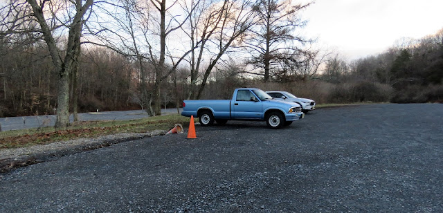 |
| Hiker parking across from the boat launch parking lot. |
TRAIL MAPS:
Merrill Creek Reservoir Trail Map - Merrill Creek Reservoir
Warren Highlands Trail Map: Overview - NJ State Parks
Warren Highlands Trail Map #4: Merrill Creek - Fox Farm - NJ State Parks
HIKE DISTANCE: 13.4 miles
THE HIKE:
 |
| At the boat launch, one lonely snow goose. How sad that he was left behind. |
 |
| Crossing through the boat launch and up the steps of the Perimeter Trail. |
 |
| Two pileated woodpeckers overhead. |
 |
| Leaving the Perimeter Trail to the left to follow the shoreline. We would pick up the Perimeter Trail again later on. |
 |
| Working our way around the nature center. |
 |
| The deer are really tame. This one had a staring contest with Brodie for quite a long time. |
 |
| Meeting back up with the Perimeter Trail where we turned left. |
 |
| Here is where the Warren Highlands Trail comes in. To the right is a section we hiked previously. Today we continued straight where the Warren Highlands Trail joins in with the Perimeter Trail for a bit. |
 |
| Picking up the light blue-blazed Warren Highlands Trail. |
 |
| The Perimeter Trail leaves to the left, the Warren Highlands Trail goes right. |
 |
| At the parking lot ... |
 |
| ... a right turn to exit the lot ... |
 |
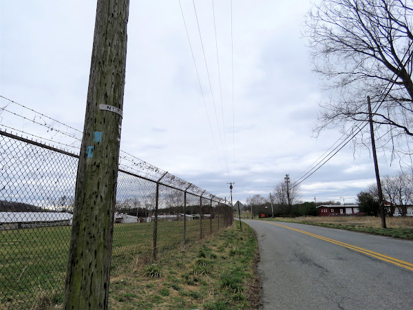
| ... and turn left on Fox Farm Road for a road walk section. |
 |
| A left at the intersection ... |
 |
| ... then a right just past those arborvitaes. |
 |
| The blazes stop here for a bit so it is a little confusing but you keep straight ahead between the corn field to the left and a backyard to the right ... |
 |
| ... veering to the left following the dirt road. |
 |
| Nice countryside views along this stretch. |
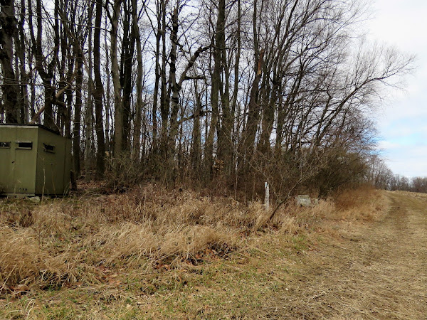 |
| The blazes pick up again at this structure. |
 |
| The trail descends steeply at times. |
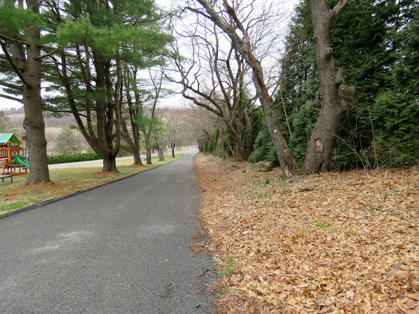 |
| From this point on the blazes are easy to follow. |
 |
| Where the trail leaves the corn fields and turns left on very busy Belvedere Road was our turn around point. |
 |
| Heading back over to that mountain up ahead which we would soon be climbing. |
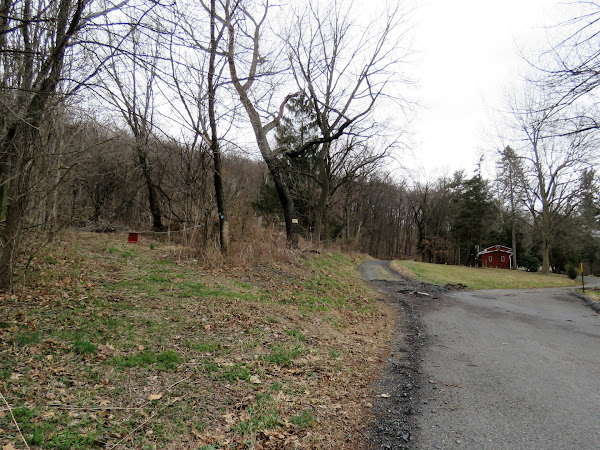 |
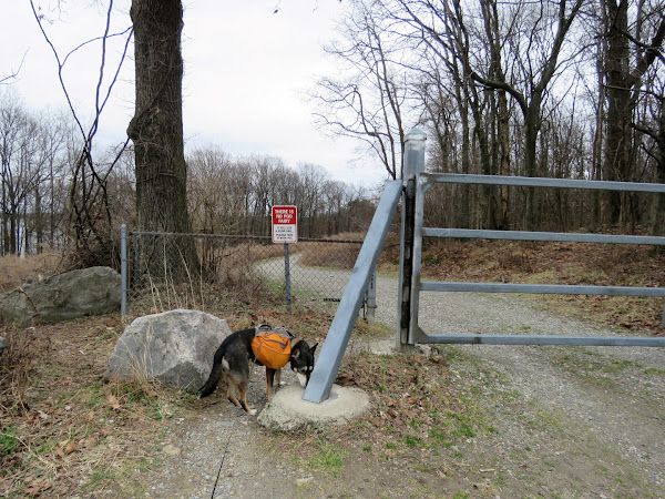
| Back at the gate I followed the blazes even though that area is posted. Usually if there are trail blazes it is OK but maybe not in this case because ... |
 |
| ... it just lead to a pile of mulch and debris and no more blazes. We climbed over because at this point I knew where we were as I had been standing on the other side coming down off the mountain. |
 |
| This is what it looks like from the other side. Not at all anything resembling a trail. |
 |
| This is how it plays out coming down off of the mountain. The left fork to where the blazes end, over the mulch pile then to the gate and right on the residential road. |
 |
| Back up the mountain. |
 |
| Where the trail turns right there is also a woods road to the left so I took that to see if it would loop around the other side of the mountain and rejoin the Warren Highlands Trail. It did. |
 |
| Keeping right at the fork. |
 |
| A left on the Warren Highlands Trail. |
 |
| Back at Merrill Creek Reservoir we kept to the right of the kiosk on a gravel road. |
 |
| There is a path on the left ... |
 |
| ... that leads down to the Perimeter Trail where we turned right. |
 |
| Following the rest of the Perimeter Trail back to the parking lot. |
 |
| Balloons 9, 10 and 11 picked up along the Warren Highlands Trail. |









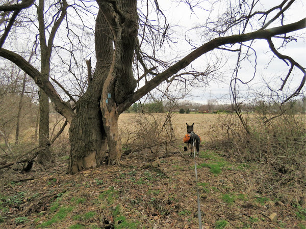




Hi Daniela, always wondered what the blue markers were. Thank you, now I know. FYI: I followed your directions to Hasenclever Hill, but started from Ringwood Manor. Easily found the triangle rock and started up the hill. Then we found the NY state yellow blazes on the trees, (if you are on the Hill, look to your right). There is a State Park rules sign then you will start noticing the yellow blazes. It wasn't that far. Down and up the hills to the vista. Thank you for sharing your hikes. Christine Eberle. P.S. I posted some of my pictures on Facebook. I use Christine Marie and there is a picture of me with my Dalmatian Abby.
ReplyDeleteDang! I was all over that mountain and did not see it. Now I have to go back again someday. I am having just as much trouble finding you on Facebook. Do you know how many Christine Maries there are, LOL? Don't see any with a Dalmatian.
DeleteGood morning Daniela. I found you on Facebook and sent a friend request. Sorry it was so difficult to find me. I believe my photo is the same one Google account uses.
DeleteYou most definitely were not coming up when I searched for you. But you found me! Was just looking at your picture of the banded snow goose. I accidentally got a shot of a peregrine falcon in Delaware a few years ago with a legible leg band and sent it in. She was 5 1/2 months old from Massachusetts. So exciting when that happens!
Delete