ABOUT THE PARK:Wells Mills County Park - Ocean County Department of Parks and Recreation
DIRECTIONS:GPS Coordinates 39.795622, -74.276569
TRAIL MAP:
HIKE DISTANCE: 11.3 miles
THE HIKE:
The early morning temperature north of me was -2 degrees, south was 10 degrees. I didn't even look to see what the wind chill temp was - I might have never gotten out of bed. South Jersey here we come! I had hiked the 8.5 mile white-blazed loop a couple of times before but now noticed that a newer 6.2 mile yellow-blazed trail was available so I hiked that along with other trails I had not hiked before.
 |
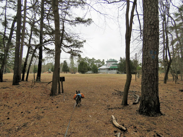
| Heading across the grass between the playground on the left and the visitor center on the right. |
 |
| At the sand road, left... |
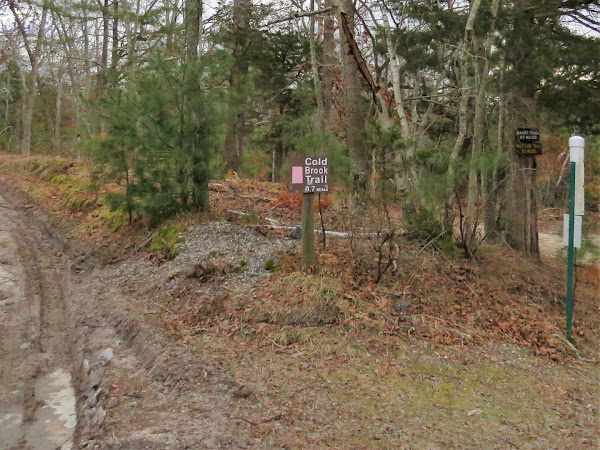 |
| ... then left on pink. |
 |
| It starts out kind of icky ... |
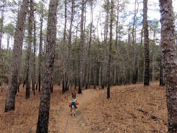 |
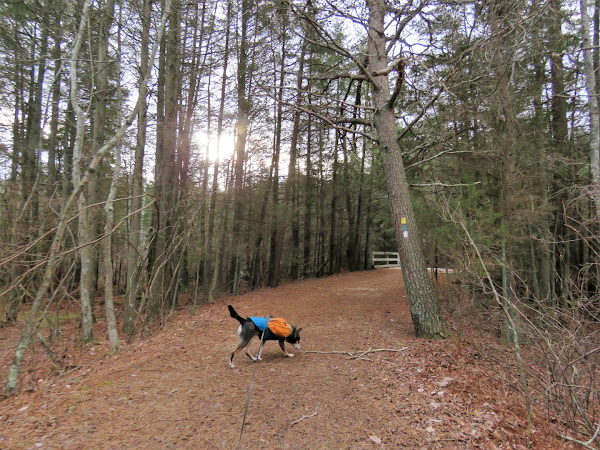
| ... but it does turn into a nice trail. |
 |
| Back at the sand road, left on yellow/green/white. |
 |
| White leaves to the left, staying with yellow/green. |
 |
| Green leaves to the right, staying left on yellow. |
 |
| Yellow actually goes right also but that would be the return of the loop. |
 |
| Now in Wells Mills Wilderness Area. |
 |
| You can tell when you have entered the scout reservation because there are private property signs EVERYWHERE! Just be sure to stay on the marked trail. |
 |
| Green and white join in briefly before white leaves to the left. We would be coming back that way in a bit. |
 |
| We stayed on green/yellow all the way out until what crossed over, then turned left on white, |
 |
| I had encountered a man who was looking for his hat that he dropped. I told him I would pick it up if I saw it and put it in the map box at the kiosk. I found it! |
 |
| White doubled back and came out at that spot where yellow/green/white all came together. |
 |
| Yellow leaves to the left (where we had come in from before). |
 |
| White leaves to the left; we stayed with green. |
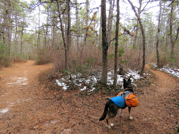 |
| At a fork there is a choice. Orange is to the left and it is a sand road. Green is to the right and it is a scenic path. They will both come back together at the other end. Right on green it is. |
 |
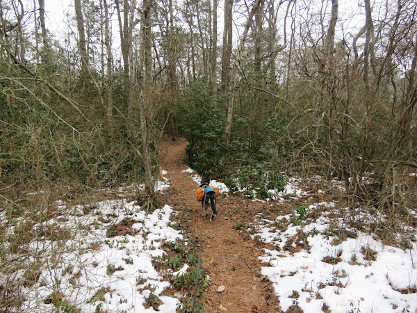
| It's hilly back in here but very pretty. |
 |
| A yellow/black dot trail goes downhill on the right ... |
 |
| ... to an old wildlife blind. |
 |
| One wildlife to be seen. |
 |
| Back on green/yellow-black-dot until ... |
 |
| ... white crosses over, then right on white. |
 |
| There were a ton of Atlantic White Cedars down. |
 |
| Blue is on the left but we went a few steps ahead first ... |
 |
| ... for a better view of Wells Mills Lake. |
 |
| Blue crosses over the canoe access road ... |
 |
| ... back over to the visitor center and parking lot. |
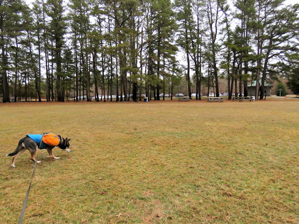 |
| For all the cars that were now in the parking lot, I only ran into a couple of people on the trails. |
 |
| Stopped to empty out and sort Brodie's backpack contents that we had picked up along the way - hat to leave at the kiosk/trash/recycle bin. |
For Jim and anyone else who is interested, the old Wells Mills trail map before the newer yellow trail:







Hi Daniela -- looks like you were (somewhat) in my neck of the woods once again...welcome back! Always enjoyed me some Wells Mills Park trails. As always, you did a great blend of the trails. I like the Cold Brook Trail...seems like a hidden gem in the park, and since it's on the shorter side, it seems that I can always make the extra effort to include the trail in my hikes at WM.
ReplyDeleteBut I think what really turned my head was the Wells Mills Wilderness Area. While I'm sure the area was always called as such, I don't remember an official trail (Yellow, in this case) going through there. I remember the Yellow (Bike) and Green (Estlow) trails were essentially one-in-the-same; I think Estlow was about 0.3 miles longer. But it looks like Yellow may have been majorly rerouted to be more of its own trail now. And with this, I will now have to make the trek to WM this coming year to obtain my picture collection of the trail!
Sad to see all those beautiful Atlantic White Cedars down...I LOVE walking through that area, especially where White (Macri/Penns Hill) Trail meets Blue (Conrad). But at least there are still plenty of other cedars still standing, so I'm sure the area is still an excellent source for pictures. Nice of you to return the man's hat to a place where he could pick it up later on...hopefully he did!
Anyway, thank you for the post, and getting my excitement to build up about getting out to WM to check out the Wilderness Area. Look forward to your next adventure...until then, happy hiking!
Jim
Hey Jim! Yes, you are correct about where the yellow trail used to be. I still had a copy of the old map so I scanned it and put it at the end of this hike, above, since I can't put a picture in the comments. Where it says "Ridge Road", that is now orange. Yellow is now more of a lollipop staying to the south of the lake. In fact, where yellow and green were together before, yellow is now blacked out. You can actually see the old yellow blaze that is blacked out in the one picture I have above that shows just a green blaze. Definitely some new areas to check out! Other than a part that follows an access road to the power cut, there is no evidence of ORV usage so the trail is nice. I ran into nobody else out there, only saw a few footprints and mountain bike tracks. Although it is open to horses, no evidence of that at all. Just be careful during hunting season. Where hunting is not allowed in Wells Mills County Park, it is in the wilderness area and I did see a tree stand there. Knowing that would be the case I waited for a Sunday to go. Good to hear from you!
DeleteDaniela
Hi Daniela -- did the Yellow Trail this past Saturday...excellent workout! (And I clocked it at 6.45 miles rather than the 6.2 which the sign said...but other than me, who's counting??) :)
ReplyDeleteIt's also funny how the powers-that-be at the park _still_ cannot decide if the White Trail is called Penns Hill or Macri. In fact, right by the start of the Yellow/Green Trails (by the lake), I actually saw 2 different start points for White (which merged very quickly with Yellow/Green), but the funny thing is, they "got out" of deciding, as one sign said Penns Hill and the other said Macri. Perhaps they should just call it Macri, as Penns Hill is only one of two hills on the trail...the other being Laurel Hill, and according to the map, Laurel Hill is actually 4 feet higher (130') than Penns Hill (126')...so Laurel Hill feels "left out" if they go with Penns Hill as the name!
Anyway, enough rambling...thanks again for the post, as I may not have noticed the new Yellow route for quite some time. Now onto your post for Merrill Creek Reservoir!
Jim
I always wondered why that trail has two names. Glad you enjoyed the yellow trail!
Delete