ABOUT THE PARK:
Blue Marsh Lake - U.S. Army Corps of Engineers
DIRECTIONS:
GPS Coordinates 40.407240, -76.078889
 |
| Church Road Parking Lot |
TRAIL MAP:
HIKE DISTANCE: 11.8 miles
THE HIKE:
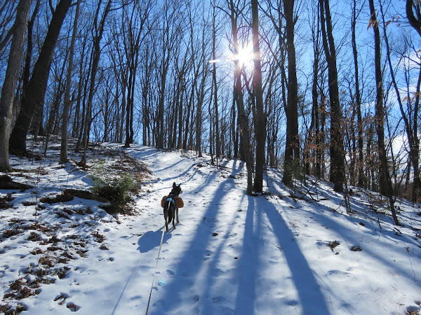
Winter Storm Kenan had come through the previous day, the worst of it in South Jersey where I would normally hike in the winter. The Reading, PA area only got an inch of snow so back to Blue Marsh Lake. The snow was crunchy and frozen with a layer of ice underneath so most of the hike was done with microspikes. The temp was 14 degrees when we started. With below 20 degree layers, we warmed up quickly and were pretty comfortable throughout the hike.
 |
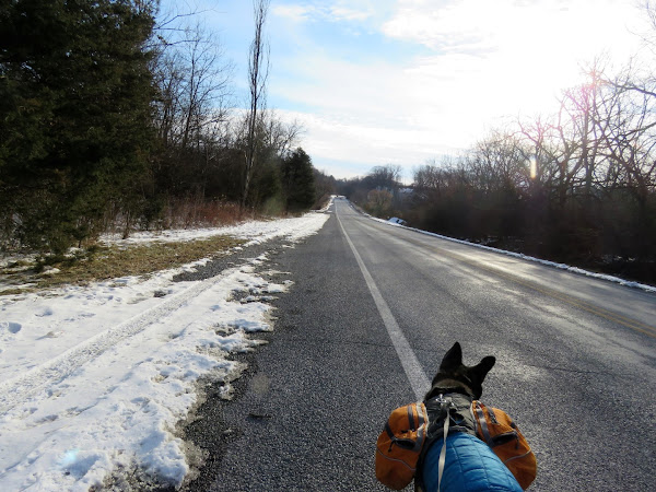
| Leaving the Church Road parking area and turning right on Church Road for a short distance ... |
 |
| ... then right on the Blue Marsh Lake Trail which is only called that on the map. Signs will show different names at times. |
 |
| The trail goes through the Old Church Road Access lot. The trail continues around back of the sign but ... |
 |
| ... to the right in front of the sign and through the break in the fence ... |
 |
| ... is a short out and back to some water views. |
 |
| Back on the trail. |
 |
| Frozen Blue Marsh Lake |
 |
| We had been following one other fresh set of human and dog prints which stopped. We then just followed these fox(?) prints directly on the trail for quite some time. There were other animal prints - rabbit, squirrel, mouse, deer, coyote - making it look like wildlife Grand Central Station in the snow. |
 |
| Coming up on PA Route 183 where we would have to road walk across the bridge. |
 |
| Looking back at the sign, we had been on the Mt. Pleasant Trail North which is the same as the Blue Marsh Lake Trail. |
 |
| The guardrail can be hopped sooner except it was easier for Brodie to use the "ramp" at the end. |
 |
| After going over the guardrail, right on PA Route 283 over the bridge. Those little dots on the ice are people ice fishing. Can't imagine being out in this cold and not moving. |
 |
| The other side of the bridge the trail picks back up at the Mount Pleasant Trail South. |
 |
| Still following wildlife tracks on the trail. |
 |
| Just past a gas pipeline cut, the trail turns right on Cornered House Road, also still the Blue Marsh Lake Trail. |
 |
| At a fork where the Blue Marsh Lake Trail went right downhill, we turned left then right on a game lands road. |
 |
| This area was loaded with birds. |
 |
| This is at a higher elevation so there are some views. |
 |
| Left at the game lands parking lot. |
 |
| Left at the next game lands parking lot. |
 |
| It is hard to see in the picture but the path we needed turns left here through the field. |
 |
| Once on it, it was easier to make out in the snow. |
 |
| Just ahead is that gas pipeline cut were we would start retracing. |
 |
| Now following our own tracks all the way back. |
 |
| They are still out there ice fishing. |
 |
| Coming up on Church Road where we turned left ... |
 |
| ... back to the parking lot. |
 |
| The high temp of the day. |


