ABOUT THE PARK:
Cheesequake State Park - New Jersey Department of Environmental Protection
This park charges an entrance fee between Memorial Day and Labor Day
DIRECTIONS:
GPS Coordinates 40.441100, -74.265313
 |
| Parking lot on the right just before the Parkway South turn. This avoids the very crowded trailhead parking lot. The very large lake lot can also be used for this hike. |
TRAIL MAP:
Cheesequake State Park Trail Map - NJ Department of Environmental Protection
Cheesequake State Park Trail Map - NJ Department of Environmental Protection
HIKE DISTANCE: 8.3 miles
THE HIKE:
This hike avoids most of the crowded sections of the park and uses some unmarked trails.
 |
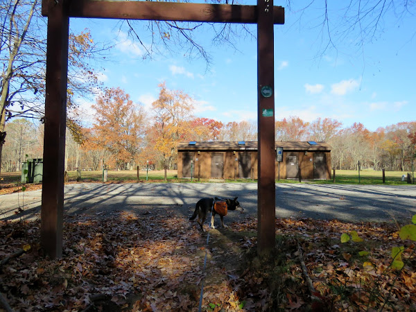
| From the parking lot turn right then cross left at the crosswalk where the road divides ahead. |
 |
| Through the Hooks Creek Lake parking lot ... |
 |
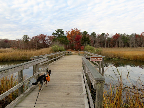
| ... to the crabbing bridge. |
 |
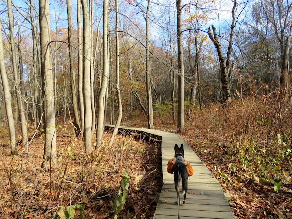
| Blue trail to ... |
 |
| Perrine Pond |
 |
| Green Trail |
 |
| Turning right on Museum Road to Steamboat Landing. |
 |
| We couldn't get all the way out to Steamboat Landing as the trail was very wet but from the top of the hill on the left wildlife can be viewed undisturbed. |
 |
| Taking unmarked trails continuing along the perimeter of the park. |
 |
| Back on Museum Road ... |
 |
| ... to continue right on green. |
 |
| At the campground where green turns left, right on the road ... |
 |
| ... continuing straight when the road becomes a woods road. |
 |
| This comes out on Gordon Road where we crossed and took the path towards the park entrance. |
 |
| Right in front of the park office ... |
 |
| ... down the steps then right on the paved road. |
 |
| Keeping straight when it becomes a gravel road. |
 |
| I was wanting to catch the white trail here but could not find it and ended up sometimes on what felt like a trail and other times bushwhacking. |
 |
| Interesting trail marker. |
 |
| There were some blazes in this area. |
 |
| Not finding the trail (purple on the app) that should be here. |
 |
| Finally found the white trail on the other side of Louis Mattei Road. I figured out why later on. |
 |
| Garden State Parkway views. |
 |
| From the parking lot, left on the park road ... |
 |
| ... back to the parking lot. |


Nice hike. That crabbing bridge is one of my favorite tranquil spots in NJ...at least on a weekday in the off-season.
ReplyDeleteYes, that place can get pretty crowded so I rarely go there even though it is the closest state park to me. At least I was able to find remote spots where nobody goes.
Delete