

Balsam Lake Mountain Wild Forest - New York State DEC
DIRECTIONS:
GPS Coordinates 42.07839, -74.65082
 |
| Mill Brook Road parking lot for Kelly Hollow. |
TRAIL MAP:
Catskills Trail Map 142 - NYNJ Trail Conference
Balsam Lake Mountain Wild Forest - New York State DEC
HIKE DISTANCE: 3.7 miles
THE HIKE:
This was my 4th hike of the day and I started much later than I would have liked to. It was 5:30 PM so my plan was to make it out by 7:30 PM at the latest. It's a fairly smooth and easy trail for the most part so fortunately I made it out on time because it is darned dark in those woods when the sun starts to set!
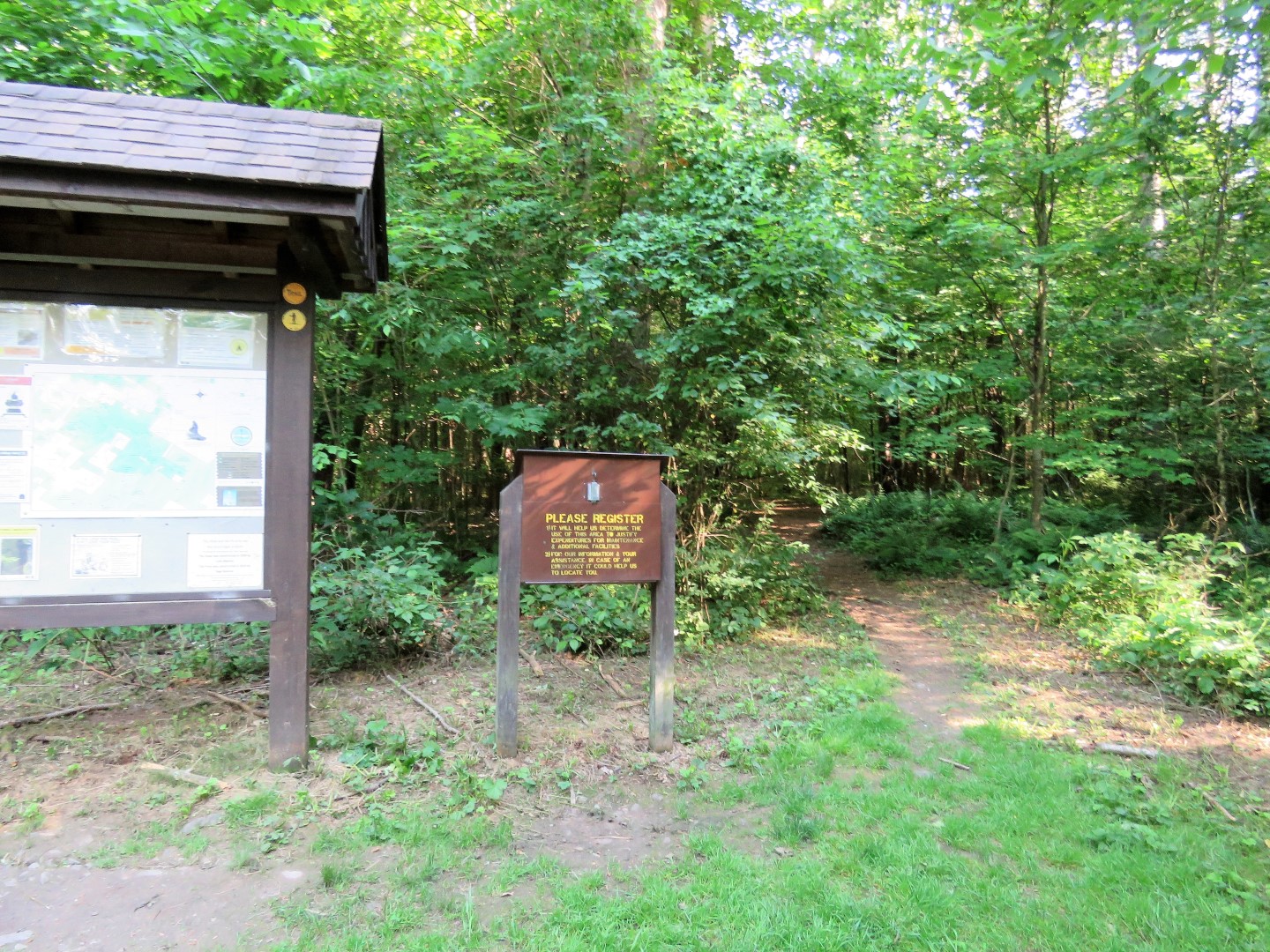 |
| I most definitely signed the trail register, which I always do anyway, but being in there alone at almost dark, that was mandatory. |


 |
| The trail is a woods road that follows along the creek down below. You can hear the water but with foliage there is not much to see other than a waterfall or cascade if you step over to the edge and look down. It was too dark down in there for any of my pictures to turn out. |


 |
| A little bit of a glimpse at the creek down below. |


 |
| All water crossings have bridges. |

 |
| The Kelly Hollow Lean-to at ... |
 |
| ... Beaver Pond |
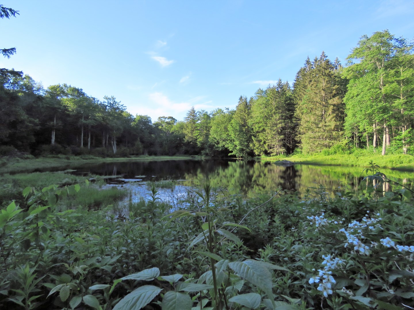 |
| The trail loops completely around Beaver Pond over to the other side. |
 |
| Back at the creek, for a lollipop hike turn right on the short cut trail to loop back around to the parking lot but there is also an option to go left and make a little bit longer loop without repeating which is what we did. |


 |
| The views of the creek are a little better on this side. |

 |
| At a cemetery the trail turns right. |
 |
| It comes out at Mill Brook Road where we turned right to cross over the creek on the road. |

 |
| Just after crossing the creek there is a foot path on the right back into the woods. (Or you can road walk back but we were good on time so we went back into the woods.) |

 |
| It's only .3 miles back to the car. |


 |
| Made it back just in time. |
The rock wall was kind of high and with losing daylight quickly I didn't want to walk around looking for an opening so I just glanced over the wall. There were a lot of newer tombstones but I did see quite a few that looked very old, also. This is the cemetery on Find A Grave: https://www.findagrave.com/cemetery/2481130/gavett-cemetery Looks like there are many from the 1800's.
ReplyDelete