ABOUT THE PARK:
High Tor State Park - New York State Parks
DIRECTIONS:
GPS Coordinates 41.19199, -74.004298
 |
| Parking along Route 33. |
TRAIL MAPS:
Hudson Palisades Trail Map #112 - New York New Jersey Trail Conference
High Tor State Park Trail Map - New York State Parks
High Tor State Park, NY at EveryTrail
HIKE DISTANCE: 7.5 miles
THE HIKE:
I had never hiked here because the New York State Parks link above clearly states that no pets are allowed. This, however, turns out to be incorrect as Dan and Laura pointed out having hiked there last weekend. Indeed, dogs are allowed probably just not at the pool which is nowhere near the trails.
 |
| The hike starts on the eastern side of Route 33, the western side is South Mountain County Park. |
 |
| Looking back at South Mountain County Park from the Long Path. |
 |
| It's mostly gravel road for a while which Shawnee and I both find very icky to walk on but if you go far enough, it eventually becomes packed dirt, much more to our liking. |
 |
| Some teaser views from a power cut early on in the hike. |
 |
| Heading on towards Little Tor. |
 |
| A white-blazed trail on the left to Little Tor. |
 |
| Views of Haverstraw and the Hudson River. |
 |
| I picked up a lot of garbage along the white trail and placed it at the beginning of the white trail so I could pack it out on the way back. |
 |
| Heading on towards High Tor. |
 |
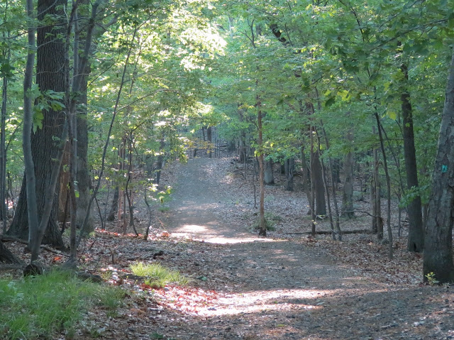
| The woods road finally becomes more of a dirt path. |
 |
| And the climb up begins. |
 |
| Views from High Tor. |
 |
| Old graffiti is pretty cool. I have to wonder if in 100 years people will think that today's disgusting paint graffiti is cool. |
 |
| I got some of the clearest shots of the New York City skyline ever today - it was a clear, crisp day! |
 |
| Continuing on the Long Path. |
 |
| More views on the way down the other side. |
 |
| The trail descends steeply. |
 |
| It then levels out and reaches ... |
 |
| ... a side trail to the site of High Tor Vineyards. |
 |
| Looks like a branch from a tulip tree with buds that fell down. |
 |
| Coming into the old vineyard area. |
 |
| The trail ends here but if we bushwhacked on, would there be ruins? |
 |
| Indeed! Lots of ruins. |
 |
| We then continued on a faint path and found ... |
 |
| ... the ponds. |
 |
| Back to the Long Path. |
 |
| And back up High Tor. |
 |
| Heading back on the Long Path we took a little side trail not on the map and found this shady grassy area which made a very nice break spot. |
 |
| Back on the Long Path to ... |
 |
| ... an unmarked woods road on the left across from the white-blazed trail to Little Tor which leads to Tam Pond (Tweed Pond on the NYNJTC map). |
 |
| A pond resident. |
 |
| Tam/Tweed Pond |
 |
| The parking lot is much more crowded at noon than at 6:30 AM when my car was the only one there. |


Very nice photos! Shawnee looks great! Thanks for sharing! Joanne
ReplyDeleteWhat kind of camera do you use? I love your pictures.
ReplyDeleteThank! It's a Canon PowerShot SX40 HS.
DeleteWhat a fabulous hike! Give our love to Shawnee,
ReplyDeleteThank you and certainly will!
DeleteYour pages are an amazing reference for hikes I have no done yet.
ReplyDelete[Im thinking of starting a hiking blog which details which hikes are the best for parking and bathrooms :)
Not everyone gets up at 6am for hiking, so for late comers its good to know, which places have spots in the late morning etc.
And for bathrooms, that is always important when you set out to with a group of people.]
thank you
Thanks! Yes, most of the time if you don't get there bright and early, parking lots are full at the popular places.
DeleteI have to laugh at your comment about old graffiti being cool. When we see old farm equipment on trails, we often think it is cool too (i.e. some farmer' trash). Will future generations think Clif Bar wrappers (i.e. current people's trash) are cool?
ReplyDeleteAlong with all of those balloons I never found!
Delete