ABOUT THE PARK:
Stephens State Park - New Jersey Department of Environmental Protection
DIRECTIONS:
GPS Coordinates 40.873618, -74.805073
View Larger Map
 |
| Parking lot at the park office. |
My GPS took me around Budd Lake, the southern way into the park on Stephens Park Road. That road is closed and does not continue through to the park office lot like my GPS thought it did. There is a parking pad where the road ends so instead of driving all of the way around to approach the park the correct way, I parked and started the hike from where the road is closed.
 |
| Parking pad at the end of Stephens Park Road. |
TRAIL MAPS:
Jersey Highlands Trail Map #126 - NY-NJ Trail Conference
HIKE DISTANCE:
12.45 miles
I am not going to write up directions for this hike like I normally do since I missed some turns due to overgrowth and poor blazing and went a way I probably should not have. For directions from when this hike was done with no foliage when trails were probably easier to find, see
NJ Hiking's writeup for a 10.2 mile loop in the reverse direction from what I did. I'll give the distance from one point to another with the pictures and point out the problem areas.
THE HIKE:
 |
| From where I parked at the closed part of Stephens Park Road at the southern end of the park, it was a very pretty hike along the continuation of the eroded road through the woods. At .4 miles the orange trail comes in from the right and the old road, now a footpath, is also marked with orange rectangles. |
 |
| In another .2 miles come out at the park office and parking lot (GPS coordinates above) so the park office is .6 miles from where I parked at the end of Stephens Park Road - parking there added 1 mile to the hike (.6 at beginning of the hike to the park office and .4 at the end of the hike coming off of the orange trail) |
 |
| A lime kiln right off of the parking lot. |
 |
| Short trails/steps/bridges lead from the parking lot to the Musconetcong River. |
 |
| At the far end of the parking lot, the gravel road leads to picnic areas, the teal diamond Highlands Trail turns right (see double teal diamond blazes above recycling container on the right). |
 |
| After a short distance the teal diamond Highlands Trail meets up with the yellow trail at the restrooms. |
 |
| The teal diamond Highlands Trail follows yellow as a footpath for .15 miles before it splits off to the left... |
 |
| And joins red/white on a woods road. |
 |
| In about 1/10th of a mile red leaves to the right. I had expected white to go along with red but it did not. I decided to keep with white/teal along the river but I probably should have turned right on red. |
 |
| There were some pretty views of the river along white/teal. |
 |
| The white trail ends .3 miles from where red turned off. The Highlands Trail turns left on Waterloo Valley Road. I decided to turn right on Waterloo Valley Road since the white trail I wanted to connect to looked like is was accessible from Waterloo Valley Road on the map. |
 |
| Now this is what I call being green AND thrifty with our tax dollars! |
 |
| Waterloo Valley Road is pleasant enough to walk on.... |
 |
| ...until, YIKES! I had already walked .75 miles along the road and thought I was almost where the white trail would be accessible so I proceeded based on the fact that the no trespass meant leaving the road. Right? (I knew I should have taken that red trail.) |
 |
| In another 10th of a mile, this sign, then another 10th of a mile a very well-defined path into the woods on the right - with no trespassing signs. Sigh. I kept going on the road thinking that was not where the white trail was but when I reached the power cut I knew I had gone too far and that trail I passed had to be it so I backtracked and TRESPASSED on that trail. |
 |
| In about 300 feet, the white trail. |
 |
| In .15 miles a pink trail starts to the left, then in another tenth of a mile a small, pretty pond down to the left. |
 |
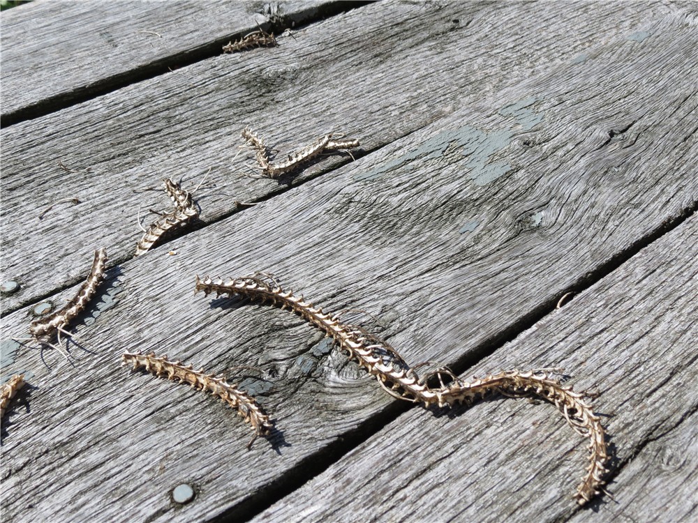
| Lots of mushrooms along this hike. |
 |
| The white trail goes through a very overgrown power cut .7 miles from the pond. |
 |
| About .15 miles after the power cut I checked out an unmarked trail not on the maps that went to the left. It was a very pretty trail that ran along the ridge and it appears there might be seasonal views. It did not seem like this trail would meet back up with the white trail so I backtracked and continued on white. |
 |
| A little over a mile from the overgrown power cut, white turns right at a T-intersection and becomes green/white. There are no blazes to the left. I turned right but realized that was the wrong way and backtracked. I should have turned left coming off of white. There are green blazes, just not visible from the intersection. |
 |
| Going the right way on green. .6 miles from that unmarked T-intersection, come up on a 3-way intersection where you can see an overgrown pond down to the right. Purple should go left here according to the map. There are no blazes and the trail fizzles out quickly so I stayed on green hoping to get to the other side of what was supposed to be a purple loop to the fire tower. |
 |
| In .15 miles green turns right on a gravel road - turn left here and there is a purple blaze up ahead - the only one I saw. |
 |
| It's another .15 miles on the gravel road to the 95-Mile Tree Lookout Tower. |
 |
| Budd Lake from the 3rd level of the fire tower and that is as high up as I was going. I was actually pretty impressed with myself that I got up that high because... |
 |
| ...the stairs, railing, everything is very open and SCARY! |
 |
| An airplane flying overhead. |
 |
| Somebody had lunch at the picnic table under the fire tower. |
 |
| I looked everywhere for the continuation of the purple trail loop but found nothing so I backtracked on the gravel road but continued straight on green where I had come off of green previously (.2 miles). After a little longer on the gravel road, green leaves to the right as a footpath and skirts the other side of the overgrown pond. |
 |
| The green trail turns right on a mowed path in a power cut in .3 miles. The post on the left is the only green blaze I saw. At some point, the green trail should leave to the right but everything was so overgrown I did not see the turn. I ended up following the mowed path that turned into a woods road and left the power cut to the left. At a T-intersection I turned right on another woods road, then right on a paved road and ended up... |
 |
| In a parking lot at the end of that road in another power cut where the green trail comes in from the right - where I should have come in had I been able to stay on the green trail. As you can see, there is no identifiable trail in the overgrowth. My alternate route to the end of the green trail was .85 miles. From which ever way you get to that parking lot, proceed towards the kiosk and pick up the other end of the green trail. Turn left on white in .15 miles when white/green goes right. |
 |
| In .2 miles the white trail crosses the power cut. There is a mowed path that veers right up the power cut but that is not the correct way - look for a very faint path in the overgrowth crossing straight over the power cut. |
 |
| In .6 miles at a 4-way intersection, the white trail turns left on a woods road. I decided to go straight on an unmarked footpath which, according to the map, would run back into the white trail. In .65 miles, after crossing over an old stone wall, the white trail does cross over at a 4-way intersection. There are no blazes but turn right and white blazes are up ahead. That unmarked trail was very well-defined and much more interesting than the woods road of the white-blazed trail so that turned out to be a good choice. |
 |
| An abandoned bike on the white trail - it was pretty beat up and rusty. From rejoining the white trail coming off of the unmarked trail, it was .2 miles to the blue trail starting on the right and another .35 miles to the other end of the blue trail coming in from the right. |
 |
| In 1.05 miles from the second blue trail junction, white ends at orange. Turn right on orange to return to the park office lot, turn left on orange to the Stephens Park Road lot. Turning left, it's downhill for half of a mile to an intersection where orange turns right. Turn left here on the old Stephens Park Road back to that parking area. |
 |
| The end. |


Thanks for all of that great info!
ReplyDeleteDaniela
Gone Hikin'