ABOUT THE PARK:
Dry Brook Ridge Wild Forest - New York DEC
DIRECTIONS:
GPS Coordinates 42.143760, -74.649588
 |
| Parking on dead end Southside Spur Street. |
TRAIL MAP:
Central Catskills Trails Map 142 - New York New Jersey Trail Conference
HIKE DISTANCE:
From Margaretville to Dry Brook Ridge Summit: 10.6 miles (5.3 miles each way)
THE HIKE:
 |
| Dry Brook Ridge where we would be hiking as seen from the drive in on Route 28. It looks pretty tame but it's a more rugged hike than what it looks like it would be. There are no scrambles but it's sections of steep uphills with breaks of flat surfaces in between. |
 |
| The trail head across the street from the parking area. |
 |
| We would be going to the Dry Brook Ridge summit which is 5.3 miles away. |
 |
| The trail starts out steep right off the bat. |
 |
| I had no cell service anywhere so this would not have done much good. |
 |
| Gorgeous rock formations on the way up. |
 |
| The trail levels out for a bit of a break. |
 |
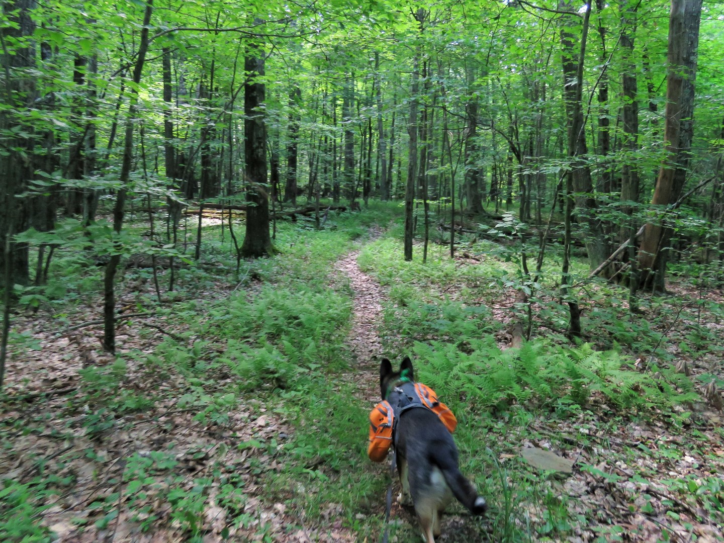
| Last summer Brodie grabbed a toad in his mouth, promptly spit him out (the toad was fine) and proceeded to drool, gag and spit. Then he did it again an hour later. Apparently toads leave a really bad taste in one's mouth as a form of self defense. Fast forward a year and Brodie went in to grab this toad but jumped back at the last minute. Apparently it took a year of contemplating for him to realized toads are BAD. He had a total of 3 toad encounters on this hike and backed away from each one before making contact. Yay for the toads. |
 |
| At the summit of Pakatakan Mountain watch for a side trail to the right that leads to a fire pit with ... |
 |
| ... an overlook of the Pepacton Reservoir. |
 |
| Back on the Dry Brook Ridge Trail for more up, up, up, flat, up, up, up, flat... |
 |
| I believe this is where some stinging nettle was hiding. It got me coming and going. |
 |
| The intersection with the German Hollow Trail. |
 |
| Intersection with the Huckleberry Loop Trail ... |
 |
| ... where we plopped down for a break. We had only run into one other couple so far. The rest of the world was at the more popular Catskill trails which get quite crowded. We mostly had this trail to ourselves. |
 |
| Continuing on. |
 |
| The old metal marker must have had some tasty paint on it. |
 |
| Watch for a side trail on the right ... |
 |
| ... that dips down on to a ledge with great views. |
 |
| Pepacton Reservoir |
 |
| The trail continues on along a narrow ledge ... |
 |
| ... to the next overlook right off the trail. |
 |
| Another nice break spot. |
 |
| After going a little bit farther and bushwhacking looking for the summit, we headed back. |
 |
| Other than a couple of steep uphills, it's all downhill the rest of the way. |
 |
| I see you! |