ABOUT THE PARKS:
Musconetcong Mountain Preserve - Hunterdon County Parks
Holland Highlands Preserve - Hunterdon Land Trust
DIRECTIONS:
GPS Coordinates 40.617776, -75.094824
 |
| Parking at the end of a long gravel drive. |
TRAIL MAPS:
Musconetcong Mountain Preserve - Hunterdon County Parks
Holland Highlands Preserve - Hunterdon Land Trust
HIKE DISTANCE: 9.5 miles
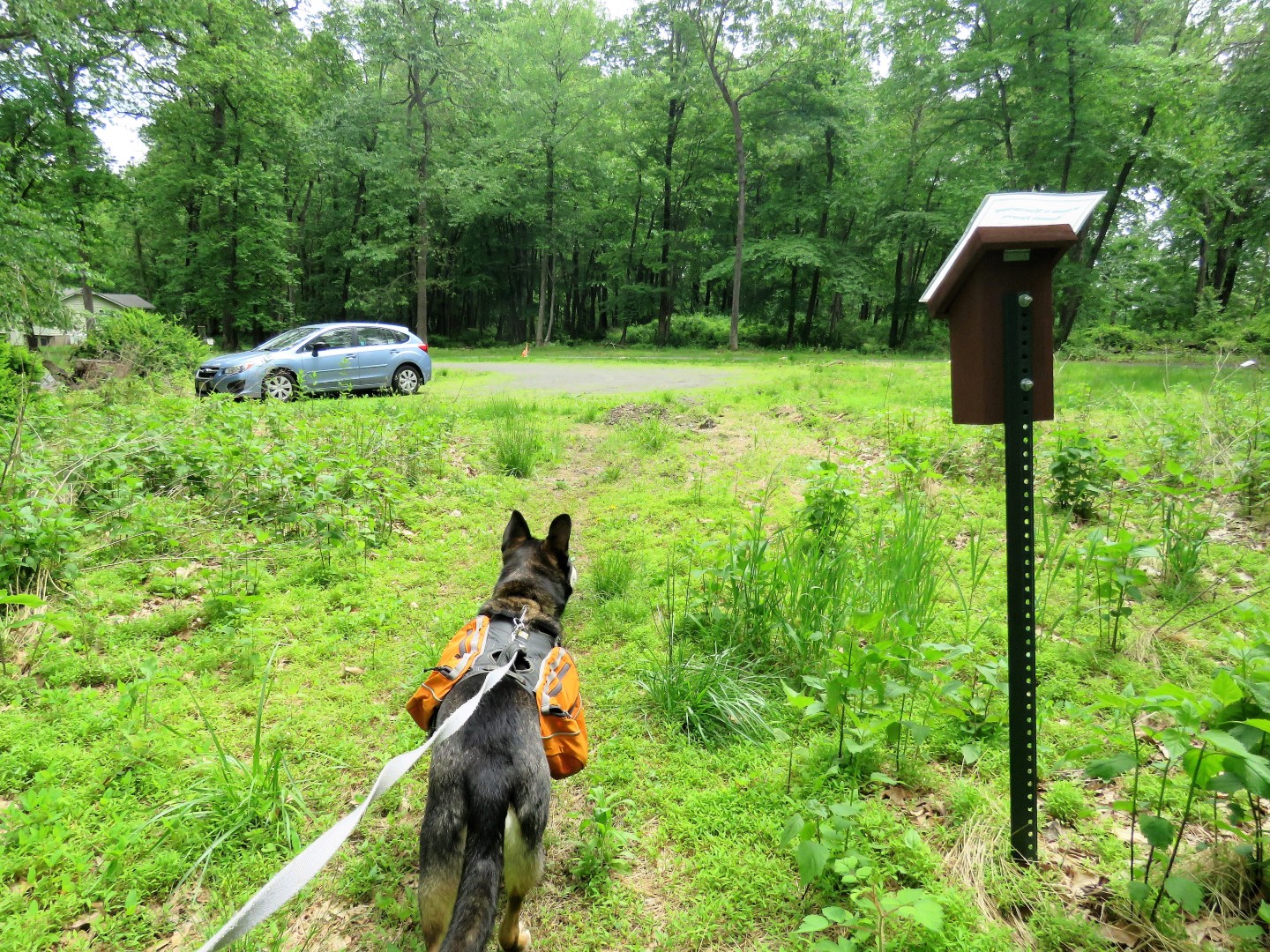
THE HIKE:
 |
| The red trail starts from the parking lot. |
 |
| A red-bellied woodpecker having some breakfast. |
 |
| A short distance in right on blue to ... |
 |
| ... a little pond. |
 |
| Retracing on blue. |
 |
| Continuing on red. |
 |
| Old stone walls off to the left on red. |
 |
| Red starts to become more overgrown. At the loop, we went right. |
 |
| This part of the trail was mostly hiked bent over under the low hanging branches. |
 |
| On hands and knees through mud before ... |
 |
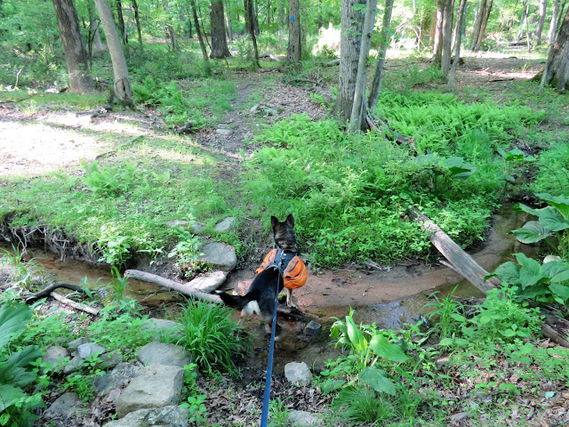
| A right at the intersection to a rock hop over a creek... |
 |
| ... coming out on fields in Holland Township Park. |
 |
| We followed the mowed paths around the fields to the right and would be returning later from the left. |
 |
| At the far end, a right .... |
 |
| (partial view on the left) |
 |
| ... and out the drive. |
 |
| A right on the paved road ... |
 |
| ... then a right on Route 519 which has a lot of traffic but there is plenty of room to walk and it's not far to ... |
 |
| ... a left on Andersen Road at the fire station. |
 |
| A much quieter road walk. The entire road walk portion is one mile. |
 |
| On the left just beyond the sign ... |
 |
| ... a left into the Holland Highlands Preserve. |
 |
| We turned left on blue after crossing the creek. |
 |
| My plan was to loop around orange then back to blue and do the blue loop. Orange has a LOT of different trails so it's a little challenging to form a loop but every time I would hit blue, I would retrace and take the next trail to stay on orange until I had completely looped around. |
 |
| These trails were built by JORBA and I would assume maintained by JORBA. The trails are in great shape! |
 |
| Back on blue, a short side trip into the power cut for a little bit of a view. |
 |
| We had come off of blue from the right and turned left to see if that was the red trail down to Shire Road. There were no blazed until I turned around then I saw that it was indeed the red trail. So at that T-intersection, it's a right on blue at the blow down, the only blow down encountered the entire hike. |
 |
| Uh oh. Carnage on the trail. |
 |
| At the end of the blue loop, crossing back over the creek ... |
 |
| ... to road walk back. |
 |
| From Route 519, a left towards the Riegel Ridge Community Center ... |
 |
| ... then a left back to the field perimeter trails. |
 |
| Now keeping right along the fields. |
 |
| A golf course to the right. |
 |
| A northern flicker ... |
 |
| ... having lunch. |
 |
| Rock hop over the creek back onto the red trail. |
 |
| This part of the red trail was in much better shape than the part I had crawled through earlier. |
 |
| There was evidence of recent trail maintenance. |
 |
| I did not see the white trail on the way out but I found it going in this direction so we turned right on white. |
 |
| Although this trail was wide open with no low hanging branches, the grass was quite high. This is probably where Brodie picked up the dozen or so ticks he brought home. I treat his backpack with permethrin and give him Simparica but those flea/tick preventatives don't repel rather they kill so you still end up bringing ticks home. No matter how hard I look for ticks on Brodie, the next morning I always find dead ticks in Brodie's bed. Yuk. |
 |
| Back on red after the white loop ... |
 |
| ... and back to the car. |