

ABOUT THE PARK:
West Rock Ridge State Park - Connecticut Department of Energy and Environmental Protection
Regicides Trail - Connecticut Forest and Park Association
West Rock User Guide - West Rock Trails
DIRECTIONS:
GPS Coordinates 41.360028, -72.965098
 |
| Lake Wintergreen Parking |
 |
| Main gate closed in the winter. |
TRAIL MAP:
West Rock Ridge State Park Map - Connecticut Department of Energy and Environmental Protection
Powered by Wikiloc
HIKE DISTANCE: 14 miles
THE HIKE:
 |
| Driving in northbound on the Wilbur Cross Parkway the tunnel goes right under West Rock Ridge State Park where we would be hiking up along the ridge. |
 |
| Under West Rock Ridge State Park. |
 |
| At the Wintergreen Lake parking lot ... |
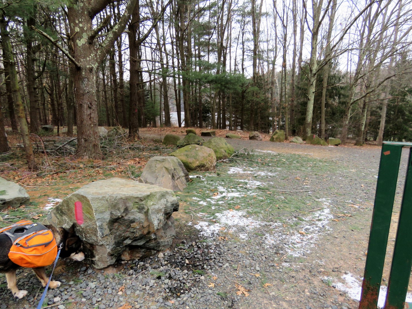 |
| ... red turns left on a wide gravel road just after the gate. |

 |
| Coming up on the Lake Wintergreen dam. |
 |
| Lake Wintergreen |
 |
| Red veers left below the dam; red/white takes the higher route over the dam. In retrospect, red/white would have had views of the lake and it meets back up with red so it might have been a better choice. |


 |
| Coming up on the Wilbur Cross Parkway where we had come out of the tunnel. |

 |
| At the main park entrance, red turns left towards the little building ... |
 |
| ... then just beyond that building enters the woods to the right. |


 |
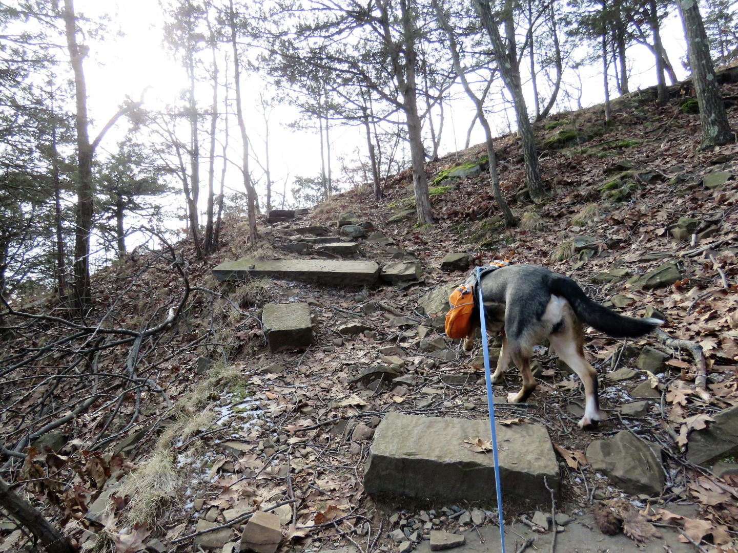
| Red becomes rockier and steeper ... |
 |
| ... as it climbs up to views. |


 |
| New Haven |


 |
| Sleeping Giant State Park |
 |
| These steps lead to ... |
 |
| ... a huge parking lot which is most likely packed in the summer when the main entrance is open to traffic. |

 |
| Long Island Sound in the distance. |

 |
| Red ends at the far side of the parking lot and blue begins. |


 |
| When blue comes out on a paved circle, to the right ... |
 |
| Judges Cave |
 |
| To see it now, doesn't look like a very good hiding place since it sticks out like a sore thumb. I would hope it was more concealed back in the day. |
 |
| Heading back into the woods. |
 |
| Several other trails along the way which can make for shorter loops. |
 |
| Tunnel Vent |
 |
| Back on top of the tunnel looking down at the Wilbur Cross Parkway. |
 |
| Konolds Pond |
 |
| The blue Regicides Trail gets pretty rugged for quite a stretch. |
 |
| It also runs VERY close to the edge. |
 |
| Brodie is not a fan of being so close to the edge so he proceeded under duress a few times. |


 |
| The gravel road comes into view often and it is quite tempting to leave the rockiness and head over there where the rest of the world is walking but preferring the solitude of the more rugged trail, that is where we stayed. |

 |
| Powercut views. |


 |
| Lake Watrous |
 |
| The blue trail becomes smoother and crosses over to the east side for a bit. |
 |
| Back over on the west side, looking back at the ridge we had just hiked. |
 |
| And taking a break. |
 |
| Back over on the east side again ... |
 |
| ... with views of Farm Brook Pond. |

 |
| A right on red ... |
 |
| ... to a better overlook of Farm Brook Pond. |
 |
| Red switchbacks down ... |

 |
| ... crosses a field ... |
 |
| ... then follows along Farm Brook Pond. |

 |
| A long stretch of gravel road. |

 |
| A very short road walk ... |
 |
| ... before red turns left into the woods as a footpath. |


 |
| So impressed that he walks right over the grate. |


 |
| It's a wide dirt road for a couple of miles ... |

 |
| ... all the way back to Wintergreen Lake. |
 |
| People ice skating at the far end of Lake Wintergreen. |
 |
| Back at the parking lot just before sunset. |