

ABOUT THE PARK:
Wharton State Forest - NJ Department of Environmental Protection
Batona Trail Brochure - NJ Department of Environmental Protection
DIRECTIONS:
GPS Coordinates 39.645085, -74.646923
 |
| Batsto Visitor Center Parking Lot |
TRAIL MAP:
Batona Trail Brochure - NJ Department of Environmental Protection
Powered by Wikiloc
HIKE DISTANCE: 12.5 miles (6.25 miles each way)
THE HIKE:
 |
| To reach the Batona Trail, take the connector trail to the right of the building at the far end of the parking lot. |

 |
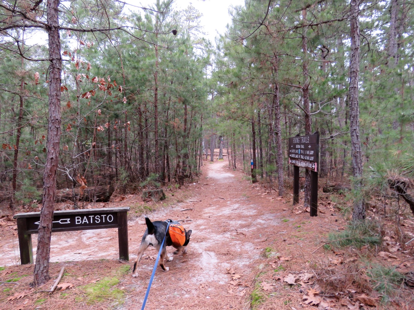
| At the sign, turn right to head south on the Batona Trail. |


 |
| Crossing Washington Turnpike. |


 |
| A right on Washington Turnpike ... |
 |
| ... for a very short distance ... |
 |
| ... then back into the woods. |


 |
| Where GoogleMaps shows the Batona Trail following named roads, this would be what those roads look like. |
 |
| A quick touch on Tylertown Road before heading back into the woods to the right. |

 |
| Birds were everywhere but were not very cooperative. |


 |
| After mile 16.5 there were several flooded spots but we were able to get around all of them. |

 |
| It took some convincing to get Mr. I-Don't-Like-Wet-Paws Brodie to cross. |
 |
| He eventually did. |


 |
| Side trail to Buttonwood Hill Camp. |


 |
| Crossing Bulltown Road. |


 |
| This bird off to the left ... |
 |
| ... only gave me this side to photograph. |

 |
| At mile marker 13, our turn around point. |

 |
| Taking a break at the 14.5 mile marker. |


 |
| The water crossing went better this time since he knew he would survive. |
 |
| And waaaaaaaay off to the right ... (It was more of a bushwhack to reach it than I realized.) |
 |
| Balloon #4 of the year. |
 |
| A glove that was not there before so I left it in case the owner was coming back that way. |

 |
| Another bird's behind. |


 |
| A left on the connector trail ... |

 |
| ... back to the parking lot. |