ABOUT THE PARKS:
High Point State Park - New Jersey Department of Environmental Protection
Huckleberry Ridge State Forest - New York State DEC
Shawangunk Ridge Trail - NYNJ Trail Conference
DIRECTIONS:
GPS Coordinates 41.320993, -74.677465
 |
| Steeny Kill Lake Parking in High Point State Park |
TRAIL MAP:
Kittatinny Trails Map 123 - New York New Jersey Trail Conference
High Point State Park Free Map - New York New Jersey Trail Conference
High Point State Park - New Jersey DEP
Huckleberry Ridge State Forest Free Map - NYNJ Trail Conference
Huckleberry Ridge State Forest - New York State DEC
Shawangunk Ridge Trail Map - NYNJ Trail Conference
HIKE DISTANCE: 11.5 miles (5.75 miles each way)
THE HIKE:
 |
| Starting at the gate in the parking lot ... |
 |
| ... which leads to ... |
 |
| ... the mowed path along Steeny Kill Lake. |
 |
| High Point Monument in the distance. |
 |
| Steeny Kill Lake |
 |
| At the far end of the lake a footpath veers left into the woods. |
 |
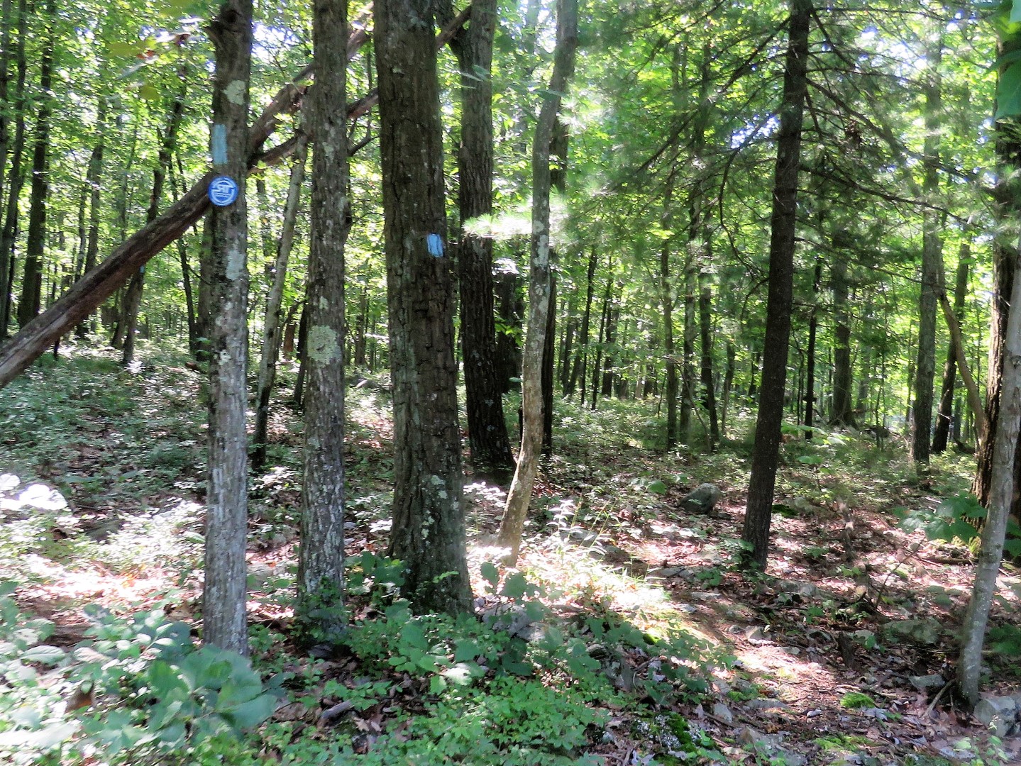
| Although this has been the blue trail all along, blazes don't appear until the trail becomes a footpath. |
 |
| At the end of blue, left on red/green. |
 |
| This early in the morning (7:30 ish) the views were concealed by low cloud cover, which in itself is scenic. |
 |
| Ovenbird |
 |
| More cloud covered views. We'd be seeing them later in the day on our way back after the clouds had lifted. |
 |
| I believe there used to be a Shawangunk Trail marker at the turn but it's not there now so it's just a left on blue. The post says "more difficult" but other than rocky in places, it's really not a difficult trail. |
 |
| Before I knew it, we had unceremoniously passed into New York already. There was no sign like there usually is when I trail crosses state lines so I would have to watch for that on the way back. |
 |
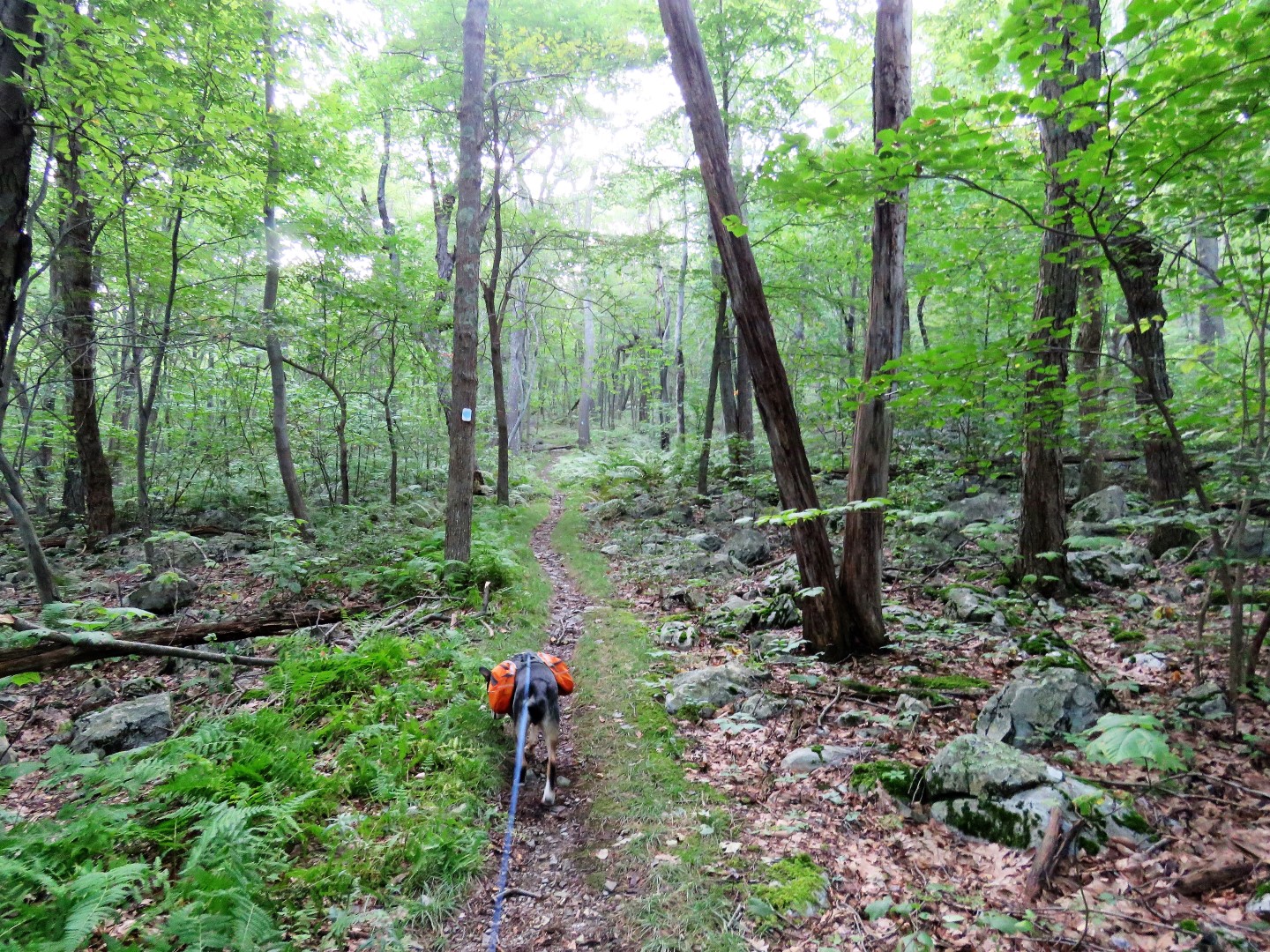
| The trail gets rocky like this ... |
 |
| ... where you can see the end up ahead but just around the bend, a long rocky stretch again. This goes on several times before ... |
 |
| ... things smooth out again ... |
 |
| ... coming up on Greenville Turnpike. |
 |
| A right on Greenville Turnpike going uphill for about .4 miles. (Fortunately it's downhill on the way back.) |
 |
| Continuing up Greenville Turnpike to ... |
 |
| ... a left into Huckleberry Ridge State Forest ... |
 |
| ... where there is a small parking lot. |
 |
| The trail continues into the woods. |
 |
| We weren't planning on going quite that far, just to the second overlook. |
 |
| Some partial views along the way. |
 |
| Coming up on a power cut ... |
 |
| ... with the best views. |
 |
| That is I-84 and yes, you can hear it, actually for most of the hike but it's still pretty in the woods. |
 |
| At the far end of the power cut, the biggest ant hill I have ever seen. |
 |
| The lower perimeter was full of holes where ants were coming and going. To think tiny ants built this huge hill. |
 |
| I -84 - You could almost thumb a ride from the trail. |
 |
| There is a trail down to the I-84 rest area. |
 |
| Continuing on to the second viewpoint on the map which involves going down a rocky area ... |
 |
| ... then up ... |
 |
| ... only to find these views pretty much don't exist any more. Turning back. |
 |
| The strength of this mushroom to push up the leaf cover. |
 |
| Two more of those giant ant hills at an unmarked path to an overlook in the rest stop area. |
 |
| Stopping to reapply Deep Woods OFF. The mosquitoes were actually worse on the NJ side than the NY side. |
 |
| Or NY mosquitoes obey Deep Woods OFF better because as they were leaving me alone, they attacked Brodie :( |
 |
| This time it's downhill on Greenville Turnpike. |
 |
| You have to really watch for where to turn back into the woods because the turn blazes are on the other side of the street and before the actual turn. |
 |
| Back over those rocky areas, uphill now. |
 |
| Maybe this was a state marker at one time but it does seem to sit right at the state line. |
 |
| And shortly after, the trail post of High Point State Park. |
 |
| Brodie is starting to embrace the concept of getting one's paws wet when one is hot and tired. |
 |
| Right on the red/green trail. |
 |
| Now those clouds are gone and we can see the views. Pennsylvania on the left and New York on the right. |
 |
| Delaware River and bridge into Port Jervis, NY |
 |
| Continuing on to ... |
 |
| ... the next view into Pennsylvania. |
 |
| Across the bridge ... |
 |
| ... then right on blue. |
 |
| Right at Steeny Kill Lake. |
 |
| High Point Monument behind us. |