

ABOUT THE PARK:
Columbia Trail - Morris County Parks
DIRECTIONS:
GPS Coordinates 40.78668, -74.78114
 |
| Long Valley Parking Lot |
TRAIL MAP:
The Columbia Trail - State of New Jersey
Powered by Wikiloc
HIKE DISTANCE: 8.8 miles (4.4 miles each way)
THE HIKE:


 |
| Al the poodle was staying with us so he came along. |

 |
| Way up ahead, zooming in to a turkey crossing the trail, |
 |
| A very curious deer. |


 |
| I need something to push the stroller up against to get Shawnee in and this works perfectly. |
 |
| Al likes to ride with her. |
 |
| I want. |


 |
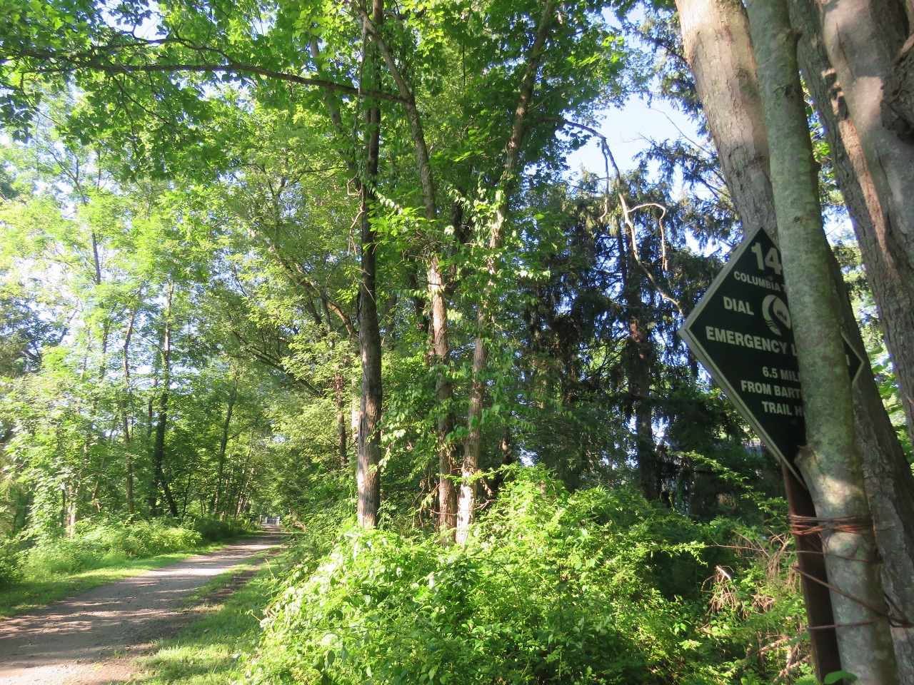
| Although there is a lot of private land along the way, the trail also passes through a WMA for a good part of the way. |
 |
| A bridge over ... |
 |
| ... Cascade Brook. |


 |
| South Branch Raritan River |


 |
| Most of the crossings are driveways. |

 |
| Crossing over ... |
 |
| ... South Branch Raritan River. |

 |
| A fake blue heron. |

 |
| Shawnee sometimes gets whiny so I let her out to walk for a while. |

 |
| A major road crossing shortly before our turn around point. |
 |
| I zip down the front screen for busy road crossings. |


 |
| A short stretch in full sun. |


 |
| I also zip the screen down when other dogs pass because Al goes berserk otherwise. The screen down keeps him quiet. |
 |
| Just the other side of this bridge over Turtleback Brook ... |
 |
| ... is a road crossing with parking for our next section which we will not be doing on a weekend. This trail is crazy busy on weekends. |
 |
| Turned around and heading back. |


 |
| No bird pictures today because every time I would try, a bike or joggers would zoom by so I just stopped trying. |


 |
| Back at the insanely busy parking lot which was almost empty at 6 AM. |