

ABOUT THE PARK:
Nottingham County Park - Chester County Parks
Nottingham Serpentine Barrens - The Nature Conservancy
DIRECTIONS:
GPS Coordinates 39.74000, -76.03760
 | |
| Park in the lot right before ... |
 |
| ... this sign. There are many lots and no signs for the trailhead so it can be confusing to pinpoint where to park. The trail actually starts to the left of the restroom building which is on the right facing this sign. |
TRAIL MAP:
Nottingham County Park Trails - Chester County Parks
Powered by Wikiloc
HIKE DISTANCE: 4.15 miles
Hiked together with Elk Neck State Park, MD (3 miles) half an hour drive away.
THE HIKE:
 |
| Just behind the restroom building off the parking lot there will be yellow arrow markers but no sign indicating this is the Chrome Trail. |


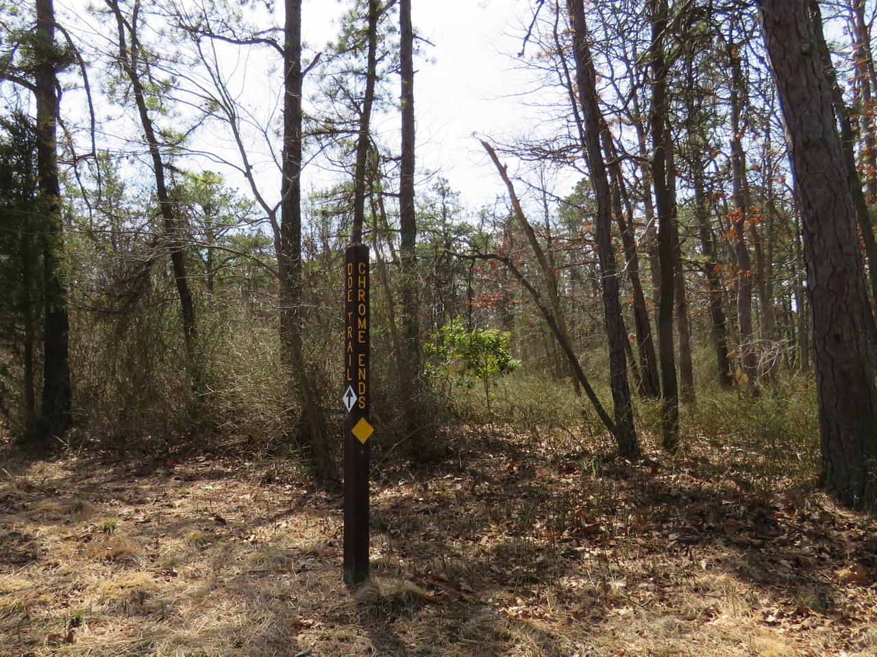 |
| But there is a sign where the Chrome Trail ends. Here the arrow point right for the white Doe Trail, which is actually the return route for this hike. Even though there is no arrow, straight is the way to go. |
 |
| Eventually there are white arrows. |
 |
| The wide path leads through the Serpentine Barrens, very much reminiscent of the South Jersey Pine Barrens minus the sand. |


 |
| When the Doe Trail ends, right on the red Buck Trail. |


 |
| This is VERY confusing and it took me a minute of consulting the map to figure it out. The left pointing arrow is the red Buck Trail arrow, which is what I wanted. The two right facing arrows are actually orange (but look VERY red) and are for the Lonesome Pine Trail which heads right back to the beginning of the hike. |
 |
| Continuing on the left on the Buck Trail. |
 |
| Break Time! She hasn't wanted her favorite chicken jerky for a while and had been refusing any kind of snack but for this hike she was all over that chicken jerky again. |
 |
| A farm in the distance. |
 |
| There had just been a ton of rain a couple days prior so parts of the trail were wet. That works for Shawnee. |
 |
| On the "You Are Here" maps found sporadically along the trail there is an overlook noted which is not on the online map. Might be because it is not much of an overlook any more. |
 |
| There is one of those "You Are Here" maps and this one is right where ... |
 |
| ... we leave the Buck Trail and turn right on the blue Feldspar Trail. |
 |
| A short distance ahead, Mystery Hole. |
 |
| A clear shot from holding the camera over the chain link fence (and holding on tight as not to drop it over said fence). |
 |
| A little farther along the Feldspar Trail ... |
 |
| ... an old mine also fenced in. |

 |
| Coming up on a bridge with steps. |
 |
| But there was such a smooth way over it was easier to send Shawnee on across ... |
 |
| ... and meet up with her on the other side. |
 |
| Shortly after that bridge we would have turned right on the white Doe Trail but first we continued on a short distance and turned left on an umarked trail which leads to a parking lot then ... |
 |
| ... McPherson Lake. Those children up ahead walked over and asked so nicely for permission to pet Shawnee. They were the sweetest kids and Shawnee LOVED the very gentle pets they gave her. |


 |
| At the end of the gravel road at the far end of McPherson Lake there is a large lot which I presume is for horse trailer parking. Even though the map does not show it, I bet had we stayed on the red Buck Trail we would have ended up in that lot. |
 |
| Heading back to ... |
 |
| ... the white Doe Trail which is now a left just before that bridge. |
 |
| At the next bridge there was no way for Shawnee to cross and the steps for the bridge were very steep. I had to take her out of her wheelchair and walk her across. Those people on the bridge were so nice to offer to hold her for me (she tends to not be able to stand right after I take her out of the wheelchair) while I went back for her wheelchair, |
 |
| Continuing on the white Doe Trail. |

 |
| Back at the sign for the end of the Chrome Trail which would be the beginning heading back. |


