Sunday, February 26, 2017

Orben Park, NJ - Ice Age Trail


ABOUT THE PARK:
Ice Age Trail at Orben Park - Take a Hike in Roxbury

DIRECTIONS:
GPS Coordinates 40.89549, -74.66189


TRAIL MAP:
Orben Park - Take a Hike in Roxbury
Powered by Wikiloc

HIKE DISTANCE:  1.5 miles
Hiked together with Florence Kuiper Park (3.75 miles) 13 miles away.

THE HIKE:
This is very nice trail with some steep ups and down right off of I-80.
Since it is only about 1.5 miles total, Shawnee was able to do it without her wheelchair.
Balloon #13 for the year.
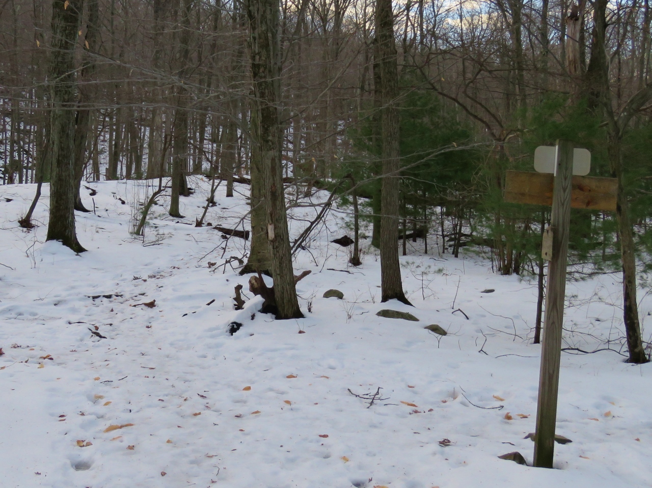
Coming up on the ridge after a steep climb.
On the ridge.
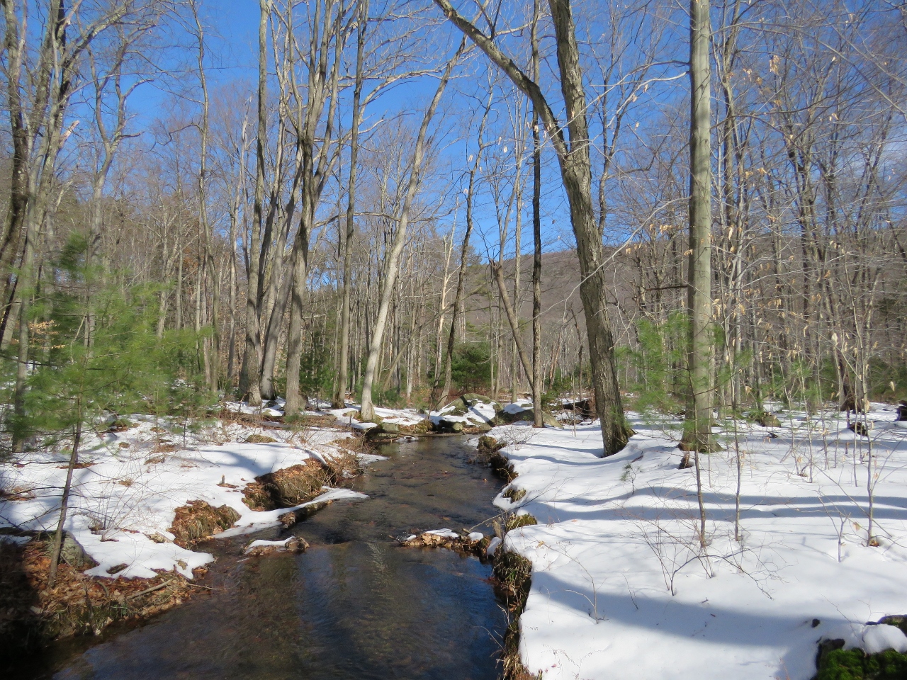
Some nice winter views.
After descending, a look back at the ridge we had been on.

Sunday, February 19, 2017

Harriman State Park, NY - Black Mountain

https://blogger.googleusercontent.com/img/b/R29vZ2xl/AVvXsEitvDaDqPgfO69hNUt1Qyv9ruBoc_JF9D6VymSdbKjn5ocD7U6wbfryKwrDOsPoyC2GcvUSUg-CXn3IZGiKBc2wyxTkBvamuVGpsdKCcucANfdhx8P2fGToD8m0sBT4AtMawpNeRL1pfDph/s1600/a+sign.jpg 

ABOUT THE PARK:
Harriman State Park - New York State Parks

DIRECTIONS:
GPS Coordinates to Anthony Wayne Recreation Area: 41.297745, -74.027070
Continue past the first parking lot following signs to Palisades Interstate Parkway North
At the fork veer left towards the far south parking lot and park all the way at the end
Looking back at the parking lot from the trail.

TRAIL MAP:
Harriman Bear Mountain Trails Map 119 - New York New Jersey Trail Conference

Powered by Wikiloc

HIKE DISTANCE:  7.7 miles

THE HIKE:
Shawnee hiked the day before so she sat this one out.  Don't be fooled by the snow.  It was 42 degrees at 7 AM when I arrived and 56 degrees at 1 PM when I finished.   The written version of this hike from the NYNJ Trail Conference.

The bike trail starts to the left of the kiosk at the far end of the parking lot.
At the intersection facing the back of the sign ...
... turn right on the Appalachian Trail.
The Ramapo-Dunderberg Trail joins in.
Crossing the northbound lanes of the Palisades Interstate Parkway was easy at 7:30 AM.  Not so much on the return trip at noon.
The trail through the median.
Crossing the southbound lanes.
The 1779 Trail crosses over.
In a tree, at eye level, just a few feet from a creek crossing so it was easy for me to get it down.  Wonder how many people hiked by and left it hanging there.
Must be those who think it is OK to throw orange peels all over the trail.  Contrary to what some people believe, this IS littering.  Oranges don't grow here and it takes a long time for the peels to decompose.
Steps going up Black Mountain.
But there is also a scramble up this side as well as a scramble down the other side.
From the top of Black Mountain, the Perkins Memorial Tower on Bear Mountain.
Owl Swamp in the distance.
The Hudson River
Coming up on ...
... views of Silvermine Lake.
Crossing Silvermine Road.
Millions of snow fleas everywhere!
At the Brien Memorial Shelter, left on yellow.
At the end of yellow...
... left on Red Cross over a bridge.
Burnt House
The hiker up ahead is the only one I saw the entire hike.
Crossing back over the Palisades Interstate Parkway VERY carefully because cars were zooming one after the other with no break for a long time.
After making it across alive, after a short distance, left on 1779.
The bike trail comes in from the right.
Then 1779 leaves to the left.  Staying on the bike trail.
Palisades Interstate Parkway down below.
When the bike trail splits, keep left.
The Ramapo-Dunderberg Trail joins in briefly.
Back at the Appalachian Trail intersection from the beginning of the hike; straight on the bike path retracing back to the parking lot.