ABOUT THE PARK:
Hudson Highlands State Park - New York State Parks
DIRECTIONS:
GPS Coordinates 41.30142, -73.95127
 |
| Parking at the Bear Mountain Bridge Toll House |
TRAIL MAPS:
East Hudson Trail Map #102 - NY-NJ Trail Conference
Camp Smith Trail Brochure - NY-NJ Trail Conference (free map)
HIKE DISTANCE: 6.6 miles (3.3 miles each way)
THE HIKE:
The day after Thanksgiving I had a lot of pie to work off and Shawnee had to sit this one out because this hike was way too hard for the wheelchair and would have been impossible. As careful as I was to sneak out, that plan failed miserably, she was on to me and was not happy about it. I suffered guilt the entire hike but all was forgiven once I returned home.
 |
| Bear Mountain Bridge Toll House |
 |
| Behind the toll house, at the kiosk, straight ahead... |
 |
| ... the start of the blue-blazed Camp Smith Trail |
 |
| The entire hike is very rugged but the first two miles are the most rugged but also less crowded later in the day. |
 |
| The Hudson comes into view early on but the views get better and better. |
 |
| Lots of cardinals at the beginning of the hike. |
 |
| No sounds of gunfire on this day. |
 |
| A yellow rope sections off the forbidden zone. Maybe the threat of gunfire is enough to keep people out. |
 |
| Steep ascents and descents. |
 |
| Looking south down the Hudson River. |
 |
| Iona Island directly across the Hudson. |
 |
| Looking north up the Hudson. |
 |
| Perkins Tower on Bear Mountain across the Hudson, |
 |
| Continuing on a short easy stretch. |
 |
| This entire area was covered with now about a week earlier. A couple of spots remained at higher elevations, |
 |
| Anthony's Nose up ahead on the right. |
 |
| Old former military buildings on Iona Island. |
 |
| Bear Mountain Bridge coming into view. |
 |
| Anthony's Nose |
 |
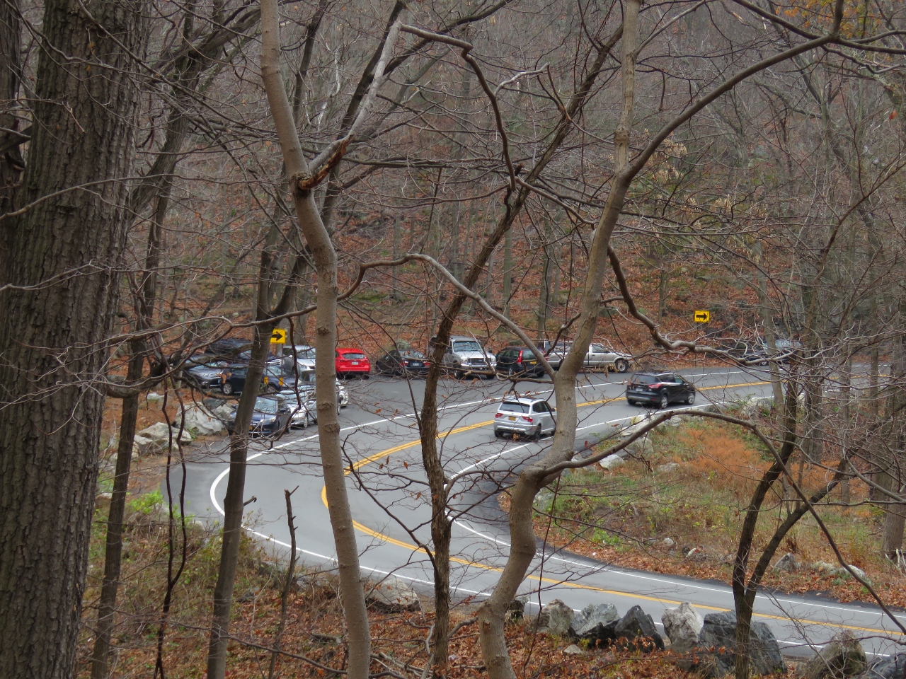
| The trail descends to another parking lot on Route 202. Only one car there at 9 AM but give it a couple of hours. |
 |
| The Camp Smith Trail continues to the right of the kiosk in the parking lot. |
 |
| Broccy Brook |
 |
| The trail becomes smoother and easier after the parking lot. |
 |
| Zoom to Bear Mountain Inn across the Hudson. |
 |
| There are still some scrambles going up Anthony's Nose (and I could think of no other way to phrase that). |
 |
| Lots of snow over on the north side of Bear Mountain. |
 |
| There was quite a bit of litter from that parking lot on and I had intended to pack out a few pieces on my way back but when I found a bag to haul litter in I could pack out a lot more. I hung the wet back on the trail to dry out a bit and would grab it on my way back. |
 |
| A very steep descent that actually has an easier bypass to the right. |
 |
| At the bottom of that scramble, a smooth woods road to... |
 |
| ... views from Anthony's Nose |
 |
| Heading back and grabbing my litter bag which filled up in no time. At this point, throngs of people were heading up to Anthony's Nose all carrying those plastic water bottles I was picking up on my way out. Wonder how many of those were left behind as I cleaned up. |
 |
| This little black-capped chickadee flew straight at me and I thought I was going to have to duck but he stopped just in time to have a snack. |
 |
| Remember that parking lot with one car? Here is where the droves of people are coming from. |
 |
| Now that the fog has lifted, Hook Mountain and the Tappan Zee Bridge are visible in the distance. |
 |
| Survivor of the recent snow. |
 |
| Not so many people heading to Anthony's Nose through the more rugged section. |
 |
| Back at Bear Mountain Toll House. |
 |
| Here is what I packed out, almost all from Anthony's Nose to that parking lot about half way through. There was a ton more litter at the parking lot but I only pick up what is on the trail. |