We started this hike on the Flynn trail, the blue trail directly across the road from the parking lot.
It starts out as a foot path detouring around private property...
... before meeting back up with the woods road.
It was spritzing a little early on because we had driven through a line of storms on the way in, in hopes that the cold front would be right behind it. It was. When we left the house at 6AM it was 79 degrees and humid. It stayed that temperature for most of the drive north then after driving through the storms the temps quickly dropped to 61.
Clearing skies up ahead.
I had to navigate the wheelchair around this little guy because I can tell you firsthand how painful it is to get run over by those wheels.
It's uphill for about the first 1.5 miles but never very steep.
That would be sunshine...
... and blue skies!
The first intersection at 1.6 miles; continuing to Hodge Pond.
At that intersection, the yellow Big Rock Trail crossing over.
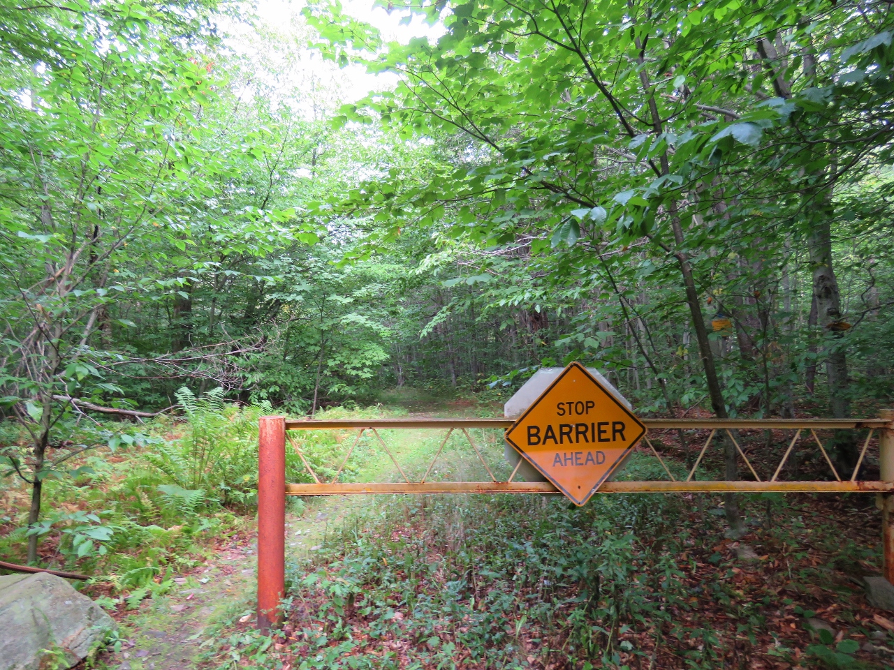
I think this would be the barrier.
At this wide, mowed fork, I turned right leaving the blue Flynn Trail.
It's a very clear unmarked woods road.
Left at the first fork...
Then downhill to meet up with the trail around the back side of Hodge pond. We turned right here but ended up looping completely around Hodge Pond before continuing on blue.
Some early fall colors at Hodge Pond.
I had zoomed in across the pond to that small clearing but could not see what was there until ...
... I uploaded the picture at home, enlarged it and saw two hunters with GUNS sitting on a rock where we would be heading next. Not fond of running into people with guns in the woods at all so glad I did not know at the time.
Continuing on the path behind Hodge Pond.
We met up with blue and turned left instead of right since it seemed a loop around Hodge Pond was in order. It looked like we would miss some important places otherwise and that was the case.
That rock where I did not know two hunters had sat just minutes before.
Relaxing and enjoying the view. It was insanely windy and chilly! (Found out later that back home in the NY Metro area,2.5 hours away, it was in the 80's, humid and no wind all day - we sure did pick the right place to go!)
After a little power nap, a dip in the pond.
We then continued on around the pond where there was another access point a little farther along.
Then continuing on the loop path again.
To the right is where we came in previously, now redoing the part to the left to meet back up with blue.
Right on blue. The woods road now becomes more overgrown and not as grassy and smooth.
That sign would be for snowmobiles. And Shawnee.
Stop she does when the tire gets hung up. She forgets how wide she is in the rear now.
Wet trail, no problem, she plows on through.
At about 5 miles, Junkyard Junction, where blue ends and we continue left on the red Quick Lake Trail towards Frick Pond.
At about 6.5 miles, Iron Wheel Junction, so named because...
... well, looks very similar to Shawnee's wheelchair.
She might get hung up on barriers but if she gets hung up on a weed...
... she just mows it over.
A small creek crossing into a hemlock grove.
A couple of small bridges ...
... then a large bridge (with ramps!)...
... overlooking Frick Pond.
On the home stretch now.
At the trail register the trail leaves the woods road as a footpath to the right to again bypass private property.
At the end a few steps up ...
... to the parking lot.
She won't sleep in the car but I do sometimes catch her closing her eyes.