ABOUT THE PARK:
Rancocas State Park Trail Guide - Burlington County Parks
NOTE: There is the Rancocas Nature Center on the northern side of North Branch Rancocas Creek that does not connect to this hike and does not allow dogs. The trails on this side of Rancocas Creek allows dogs.
DIRECTIONS:
GPS Coordinates 39.99224, -74.83433
 |
| This is the parking lot at the end of Deacon Road but saplings, posts and blow downs and heavy leaf drop make it difficult to figure out exactly where to park without blocking the gate and without getting hung up on something. |
 |
| I parked off of the side of the road near the park sign instead. |
TRAIL MAP:
Rancocas State Park Trail Guide - Burlington County Parks

HIKE DISTANCE: 6 miles
THE HIKE:
 |
| We went left at the blue blaze to follow the 3.2 mile blue loop with some detours. |

 |
| I couldn't figure out why these markers started with .25 mile but it soon became obvious. |

 |
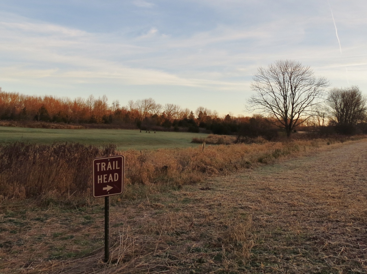
| In .25 mile a parking area that is not on the map ... |
 |
| ... the blue trail trail head when you come out on to the park service road ... |
 |
| ... and a kiosk. So to reach this you would drive to the end of Rancocas Avenue. |
 |
| And the mile marker on the gravel service road would be the end. |
 |
| Continuing on the gravel service road. |

 |
| The blue trail leaves the service road at the gate, |

 |
| We then turned left on orange to do the orange loop. |


 |
| South Branch Rancocas Creek |

 |
| Back on blue after finishing the orange loop. |
 |
| South Branch Rancocas Creek |
 |
| At another parking lot which would be at the end of the gravel access road, had for the barrier with the faded blue blaze so continue. |
 |
| Cabin ruins. |


 |
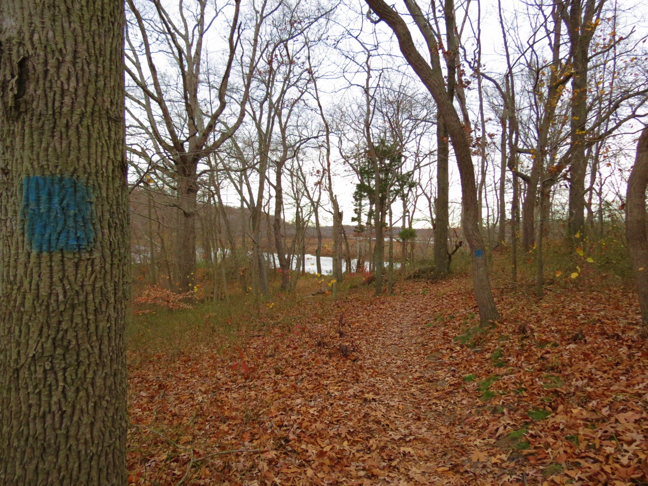
| This part of the blue trail is very pretty as it follows along Rancocas Creek. |
 |
| These sign posts indicate unmarked connector trails. So this one means the unmarked trail takes you to the yellow trail. |


 |
| New Jersey Turnpike across the way. |
 |
| There is a lot of traffic noise from the turnpike. |


 |
| On the red trail. |
 |
| Red Oak Black Oak White Oak |
 |
| Another helium balloon. I swear I find one on almost every hike. I could reach this one so I packed it out. |
 |
| The defaced a tree and what do you want to bet they aren't even together any more? |
 |
| From red we took green, which turned out to be an interesting trail. |
 |
| Shawnee even took the lead for a while which she doesn't do often any more. |
 |
| Back on blue I found a dog collar with a phone number and called to let them know I found the collar. Their dog had lost its collar but fortunately the dog was not lost. |
 |
| Back at the car ... |
 |
| ... I put the collar at the agreed upon spot for the owner to pick it up, which she did and then Kally sent me a thank you text :) |