Sunday, July 12, 2015

Mahlon Dickerson Reservation, NJ - Saffin Rock-Rill


ABOUT THE PARK:
Mahlon Dickerson Reservation - Morris County Parks

DIRECTIONS:
GPS Coordinates 40.99054, -74.58496
The Saffin Rock-Rill lot has ample parking on both sides but appears to be lightly used where the main parking lot is usually packed.

TRAIL MAP:
Mahlon Dickerson Reservation Trail Map - Morris County Parks
Jersey Highlands Trail Map 126 - New York New Jersey Trail Conference
Mahlon Dickerson Reservation, NJ - Saffin Rock-Rill at EveryTrail

HIKE DISTANCE:  6.8 miles

THE HIKE:
This hike took place on Shawnee's 14th Gotcha Day.  In 2001, terrified and feral, straight from the Newark, NJ shelter.  In 2015, happy to have just finished yet another hike!
Find the yellow trail by walking on the narrow paved road towards the bend.
Keep following around to the left then turn right on the grass just beyond the trees.
The trail goes into the woods on a woods road to the right.
The yellow trail begins to follow the Ogden Mine Railroad Trail.
The teal Highlands Trail joins in from the left.
Saffin Pond
Turn right on the Highlands Trail when yellow continues on the railbed and cross the bridge at the outlet of Saffin Pond.
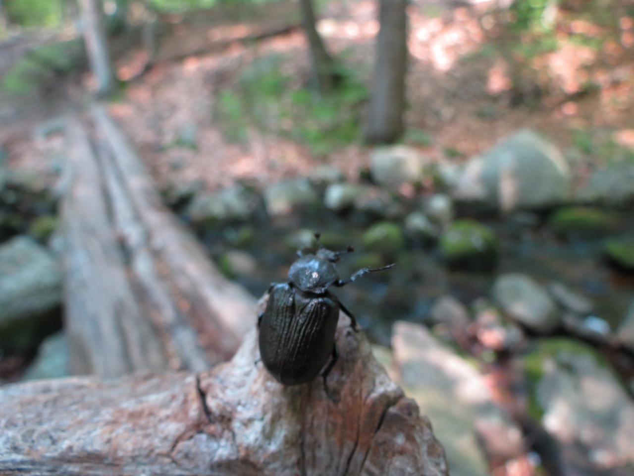
Weldon Brook
Continuing on the Highlands Trail.
Rose-breasted Grosbeak
Back on yellow to ...
... an unmarked trail to ...
... back at the Highlands Trail to Headley Overlook.
We startled a mourning dove who flew into a nearby tree.
Lake Hopatocong from Headley Overlook
Break time!
When I noticed that the mourning dove had hunkered down patiently awaiting our exit, I figured we had better go so he could get back to what he was doing before we so rudely interrupted.
Second overlook off of the Highlands Trail.
Back to yellow again and staying on yellow for the rest of the hike.
We took lots of breaks because it was getting hot.
The trail follows along a pretty pond.
Back at the narrow paved road at the parking lot on the left.

Sunday, July 5, 2015

Norvin Green State Forest, NJ - Wyanokie Crest


ABOUT THE PARK:
Norvin Green State Forest - NJDEP

DIRECTIONS:
GPS Coordinates 41.03703, -74.34535
Room for 3-4 cars but does not appear to be one of the more popular parking areas.

TRAIL MAP:
North Jersey Trails Map 115 - NY NJ Trail Conference
Norvin Green Trail Map Brochure - NY NJ Trail Conference
Norvin Green State Forest, NJ - Wyanokie Crest and High Point at EveryTrail

HIKE DISTANCE:  7.1 miles

THE HIKE:
Shawnee had to sit this one out.  The day before I heard her yelp out in the yard and ran out to find her limping and holding her right paw up.  In the morning she was back to normal but I did not want to take a chance that something would happen while out on the trail.  I think it was a muscle spasm and she goes to the chiropractor this week so hopefully that will fix it.  Norvin Green terrain is too difficult for her now so I headed there saving the hike I had planned with her for another time.
An interesting sunrise on I-287 North.
Beyond the gate a woods road continues straight and the yellow-blazed Wyanokie Crest Tral starts to the left.
Gypsy moths laying eggs :(  There were tons of dead gypsy moth caterpillars on trees so maybe the trees are being treated.
Posts Brook
Sunrise in the forest.
Red eft twins.
The yellow trail comes out to a little bit of ...
... a view.
The green-blazed Otter Hole Trail which follows a woods road.
Another little bit of a view off the green trail.
The white-blazed Macopin Trail.
Blueberries!
When the white trail ends, a left on blue goes it a view in just a few steps.
Retracing on blue to go the other way towards ...
... better views.
A short out-and-back to High Point before continuing on blue.
Wanaque Reservoir
Continuing on blue which is joined by the teal Highlands Trail.
A little mishap at Yoo-Hoo Point.  A rock grabbed the toe of my right shoe, I came right out of my shoe and went flying right onto my elbow which split open and bled like crazy.  Shawnee's and I share first aid supplies.  That vet wrap comes in very handy.
A bear was here.
Views from Carris Hill.
Turing left on yellow to retrace the first part of the hike.
Those dead gypsy moth caterpillars were everywhere.
I bushwacked a very short distance over to the woods road to finish.
Back at the car.