It's just a couple of miles of driving from the Catamount Ski Area hike to this hike so we took a break and had lunch before the second hike of the day. Although hiking is for fun, it is also work, so Shawnee's lunch was "Working Dog Stew."
And off we went. You can either go left or right at the barrier since it is a loop hike.
We chose right where you immediately cross a bridge over Fenton Brook.
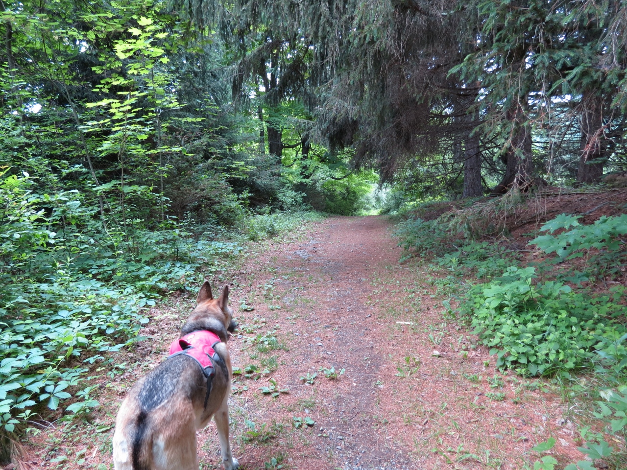
The trail starts out smooth and wide.
It was even freshly mowed. Seemed way too manicured for us after all of the overgrown trails we have been on here lately.
Cedar Waxwing
Still mowed!
There was a side trail down to Fenton Brook, much to Shawnee's delight.
Fenton Brook
Back on the trail.
Beautiful woods.
Several feeder streams flowing towards Fenton Brook cross over the trail so there are many wet areas along the way.
Loving all of these streams across the trail.
The NYNJTC map shows an unmarked woods road continuing on a longer loop but it is, in fact, a longer section of the trail.
Totally game to do the longer loop.
An old cabin just before the trail loops around to head back.
An older cabin nearby.
Sometimes the trail is a stream.
This crossing goes down steeply ...
... and up steeply on the other side.
We found a clearing off the trail up above Fenton Creek where we took a break.
We had continued on our hike when something large and brown flew right over our heads across the trail. Thinking it was a hawk, I watched where he landed but when he turned to look at me, I saw it was not a hawk at all...
First time I have ever seen and photographed an owl. It was so cool!
Having finished the Upper Loop, continuing on the Main Loop.
The trail intermittently goes through scenic fields then woods.
She says 'no thanks' to that makeshift bridge but it was muddy muck she walked through.
Fortunately, a second such crossing with clear water to rinse those paws off in.
Coming back out opposite from where we started at the parking lot.
A picture of the track in case EveryTrail is down again.
HIKE DISTANCE:
Catamount Ski Area and Taconic State Park - 4.2 miles
hiked together with Jug End Reservation - 4.5 miles
THE HIKE:
When you leave at 4:45 AM on a 2.5-3 hour drive you get to see a beautiful sunrise!
From the parking lot in New York it is a short road walk along Route 23 ...
... into Massachusetts...
... to the northern end of the South Taconic Trail.
Over the years we have hiked all of the South Taconic Trail except the very northern and southern sections. We tried to hike the southern section a few years ago but could not find where the trail starts and apparently, it is very hard to find. Now the terrain in that area is too difficult for Shawnee so here we are completing the nothern section.
The northern section goes through woods for a short distance then uses dirt roads.
It says the drive is private but this is the way the trail goes. It soon leaves to the left...
... and crosses an overgrown field.
Wild strawberries in the field.
Gray Catbird
Back in the woods, the trail goes up, up, up.
Shawnee needed help over this downed tree because it was on a steep uphill section and she could not get lift - so handy to have that handle on her and this is why she always wears that harness now.
The trail comes out on a woods road ...
... and opens up to views into New York.
Time for a break and refreshments after that uphill climb.
Mountain laurel was in full bloom.
As well as fields of wildflowers.
The Catskills in the distance.
After crossing under this pipe...
... the trail continues uphill through an overgrown ski slope.
Northern Flicker
You have to turn around to see the views while ascending the ski slope.
At the top the trail becomes more open woods road and leaves into the woods to the left at the red arrow. But there was something ahead we wanted to check out.
Continuing ahead to the map ...
... the top of the ski lift with more views.
Now back to where the trail enters the woods ...
... and Taconic State Park in New York. (We had been in Massachusetts up to now.)
The turnaround point was at this view, the spot we had hiked to previously, completing our northern part of the South Taconic Trail.
Baby Blueberries
Back out on the woods road at the top of the ski slopes.
But this time instead of retracing down the overgrown ski slope, we took the ski area service roads which turned out to be a very good choice - no overgrowth and tons of views.
At the bottom in the main ski area, I was able to hook back up with the South Taconic Trail using the GPS.