ABOUT THE PARK: Harriman State Park - New York State Parks
DIRECTIONS:
View Larger Map
TRAIL MAP:
NY/NJ Trail Conference Northern Harriman - Bear Mountain Trail Map #119
HIKE DISTANCE:
12 miles
HIKE DESCRIPTION:
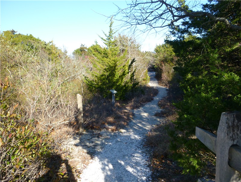
From the Silvermine Lake parking lot head west towards the picnic area where you will find the yellow blazes of the Menomine Trail.
At the end of the picnic area pass through a barrier and turn right. If you were to go straight, you would end up in the abandoned parking lot of what used to be a ski area.
Shortly after the fork a gravestone on the right marks the burial spot of James Lewis who at one time farmed this land.
Cross over Seven Lakes Drive and arrive at Lake Nawahunta.
Continue following the yellow-blazed trail to the 1.5 mile point at it's end at the teal-blazed Long Path.
Turn right on the Long Path and climb steeply uphill to the Stockbridge shelter.
At 3.2 miles the teal-blazed Long Path turns left where the Nawahunta Fire Road comes in from the right.

At 3.7 miles carefully cross over Route 6 and continue along the exit drive of a parking area.
Turn left at the kiosk continuing on the teal-blazed Long Path.
At 4.1 miles keep straight on the teal-blazed trail at an intersection with an unmarked woods road and the red square on white Popolopen Gorge trail. Climb steeply uphill to the
Raymond Torrey memorial with views.
 |
| Popolopen Torne on the right |
 |
| Bear Mountain |
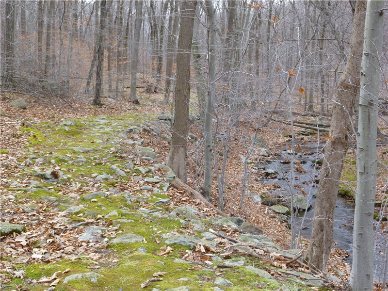
Continue along the teal-blazed Long Path as it switchbacks down steeply - watch for turns as they are easy to miss if you are not paying close attention to the blazes. At the bottom of the mountain, at 5 miles, just before the Long Patch crosses a stream, turn left on an umarked woods road which will parallel the stream before veering away.

Along the way you might notice old blazes which have been painted over. The painted over right turn blaze at the end of the woods road at 5.4 miles brings you back to the intersection with the red square on white Popolopen Gorge trail to continue on straight ahead.
At 6 miles arrive at Turkey Hill Lake.
 |
| Turkey Hill Lake with Turkey Hill in the background |
Turn right on the white-blazed Anthony Wayne Trail. At 6.7 miles carefully cross back over Route 6. Turn left and walk a few steps along Route 6 over the bridge, then cross over the guardrail to continue on the white-blazed trail.

A short distance ahead at the 7 mile point, turn right on the 1779 Trail.
At 8.5 miles turn right on the white-blazed Appalachian Trail which runs concurrent with the red circle on white Ramapo-Dunderberg Trail.
A steep climb up brings you to views of the Hudson River in the opposite direction.
A little farther ahead Silvermine Lake comes into view.
Descend steeply crossing over a rock wall at the foot of the Black Mountain at 9.5 miles.
At 10.4 miles turn right on the yellow-blazed Menomine Trail.
This trail will skirt Silvermine Lake arriving back at the parking lot just shy of 12 miles.
There were a lot of woodpeckers in the area. I managed to capture shots of two of them. If I have misidentified them, please let me know.
 |
| Pileated Woodpecker |
 |
| Downy Woodpecker |
HIKE SUMMARY:
[ 0.00] West through picnic area on yellow-blazed Menamine Trail
[ 1.50] Right on teal-blazed Long Path
[ 4.10] Straight at intersection with red square on white Popolopen Gorge Trail
[ 4.40] Torrey memorial
[ 5.00] Left on unmarked woods road
[ 5.40] Straight on red square on white Polopopen Gorge Trail
[ 6.00] Turkey Hill Lake; right on white-blazed Anthony Wayne Trail
[ 7.00] Right on 1779 Trail
[ 8.50] Right on white-blazed Appalachian Trail/red circle on white Ramapo-Dunderberg Trail
[10.40] Right on yellow-blazed Menomine Trail
[11.90] Silvermine Lake parking lot


 A bird identification interpretive sign at the southwest corner of the island is about as far as you can go.