
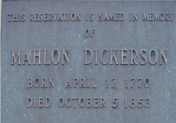
ABOUT THE PARK: Morris County NJ Park Commission
TRAIL MAP: Morris County NJ Park Commission online trail map
Maps are usually available at park kiosks but recommend printing one out in case none are available.
PARKING DIRECTIONS:

I-80 to Route 15 North to right on Weldon Road to Saffin Pond parking lot on the right.
NEW JERSEY 1K CLUB PEAKS:
Bowling Green Mountain
Morris County High Point
HIKE DIRECTIONS:
The weather was very iffy so decided to bag some peaks (NJ1K.org) at a park where I would have opportunities to cut the hike short if need be. This is a fairly easy hike with inclines to the peaks but no scrambles. The total distance is 11 miles. There are many trails in this park so a variety of shorter loops are possible.
From the parking lot follow the teal-blazed highland trail along Saffin Pond:

At .50 miles turn left on an unmarked trail which meets up with a yellow-blazed trail at .80 miles.

Follow the yellow-blazed trail to 1.50 miles when the yellow trail turns right, keeping straight ahead to the Headley Overlook sign at 1.75 miles. Turn right and walk a short distance to Headley's Overlook with a view of Lake Hopatcong:

Retrace your steps and continue right on the teal-blazed Highland Trail crossing over Weldon Road at 2.00 miles. At 2.50 miles turn right the white/teal trail then right on an unmarked trail at the next intersection. Keep right on the unmarked trail to Weldon Road and cross over entering Snow Bowl, an abandoned ski area. Follow the wide gravel road up the mountain. You will see a communication tower at the top of the mountain and that is where you will end up either via the gravel road or a trail which runs to the left of the gravel road. Once at the top turn left and a short distance ahead on the left at 3.75 miles is a large boulder with a cairn on top which is the Bowling Green Mountain summit.

A little farther ahead is an abandoned chairlift cut. Continuing past that to 4.25 miles where dirt roads intersect, you will see a fire tower to the right which supposedly offers great views but when I got there it was drizzling so I did not go up. Retrace your steps all the way back crossing back over Weldon Road and reentering via the unmarked trail. Turn right at the next unmarked trail which will bring you to the Cascade Trail which you will follow to the end at 6.75 miles.

At the end of the Cascade Trail there are many options for getting to the Morris County High Point on the white-blazed trail but with all of the unmarked trails, I am not quite sure how I got there. We arrived at Morris County High Point at 8.25 miles.

From the Morris County High Point head south on the white-blazed trail to meet up with an unmarked trail at 8.75 miles. Head west on the unmarked trail which takes to you a left on the pleasant, flat, easy Ogden Mine Railroad Path at 9.75 miles.

The Ogden Mine Railroad Path comes out at Weldon Road at 11 miles with the parking lot where the hike started on the other side of Weldon Road.

I found an old map online that shows the former the ski trails that are not on the Mahlon Dickerson Reservation trail map.

LITTER REPORT (This is included in hopes somebody who litters will see it and think twice before littering again.):
The trails are immaculate. The park has an Adopt-A-Trail program and there is no litter. Over at Bowling Green Mountain, however, the litter is disgusting. This seems to be more of an abandoned/non-maintained area. There was too much litter for me to even think about making a dent in it so I just picked up random trash along the way.


