ABOUT THE PARK: It is best to check the Weiser State Forest page before heading out as there are sometimes closures due to forest resource management activities.
DIRECTIONS:
GPS Coordinates 40.815097, -76.455694
 |
| This parking lot is not on any maps but it is on Trailforks. There is room for about 5-6 cars. |
TRAIL MAPS:
There are so many trails (blazed trails are all blazed in red denoting shared-use trails open to horseback, mountain bike and foot travel) that an app is essential to navigate. Trailforks shows the most trails.
HIKE DISTANCE: 14.2 miles
There are 9 and 11.5 mile options which I will note along the way.
If doing this hike from the Route 54 parking lot, it would be 18.3 miles.
THE HIKE:
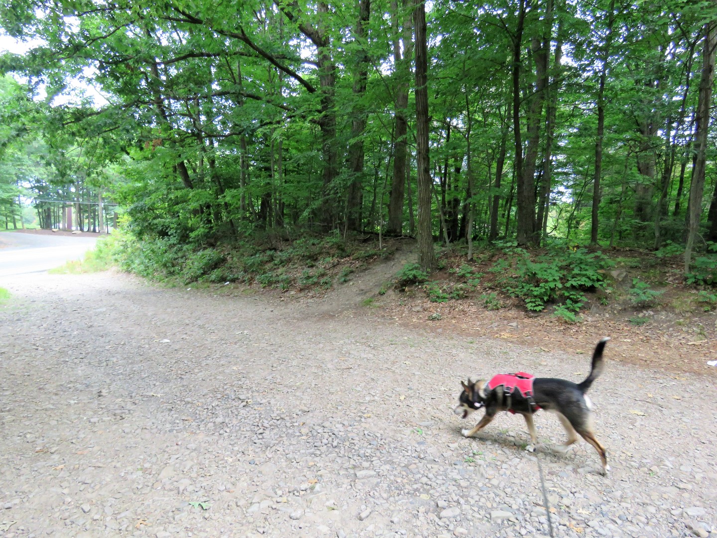
 |
| From the parking lot we took the path on the right heading towards the parking lot entrance. |
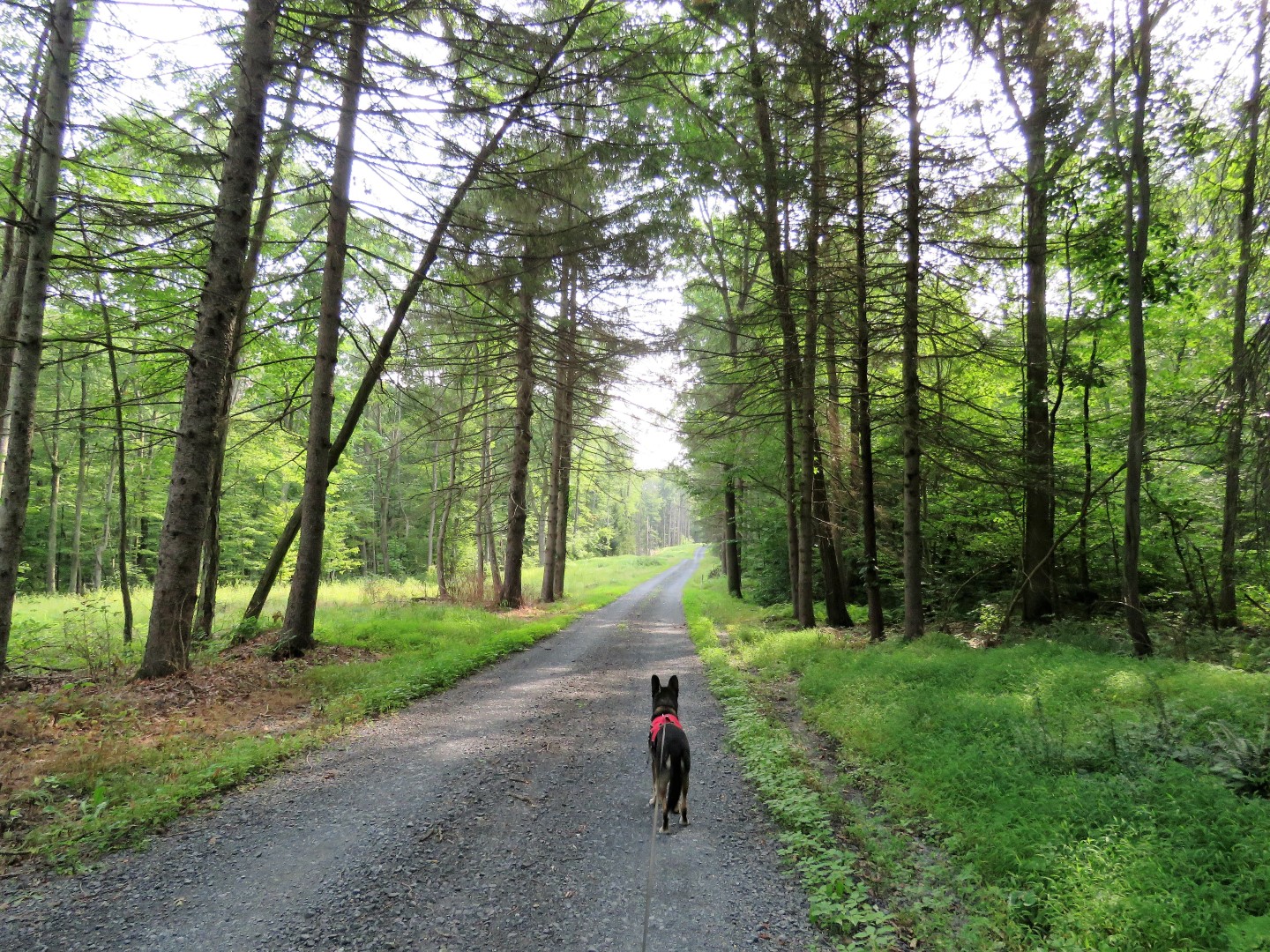
 |
| The trails here are not marked but they are well defined and easy to follow. You just have to figure out which ones to take using an app. |
 |
| Eventually there will be occasional red blazes denoting shared-use. |
 |
| Did you notice I forgot Brodie's backpack? The first time EVER! So I had to pack out balloon #19 of the year. |
 |
| There will be posts at intersections with trail names. Shortly after this post we headed right on the Old Natalie Road Trail. |
 |
| Old Natalie Road Trail |
 |
| It descends pretty gently all the way down. |
 |
| Coming out on ... |
 |
| ... Roaring Creek Trail which I tried to avoid as much as possible as it is the most popular trail. |
 |
| After a little over half a mile, left on ... |
 |
| ... South Branch Nature Trail. |
 |
| South Branch Roaring Creek |
 |
| The trail alternates from smooth .. |
 |
| ... to rocky. |
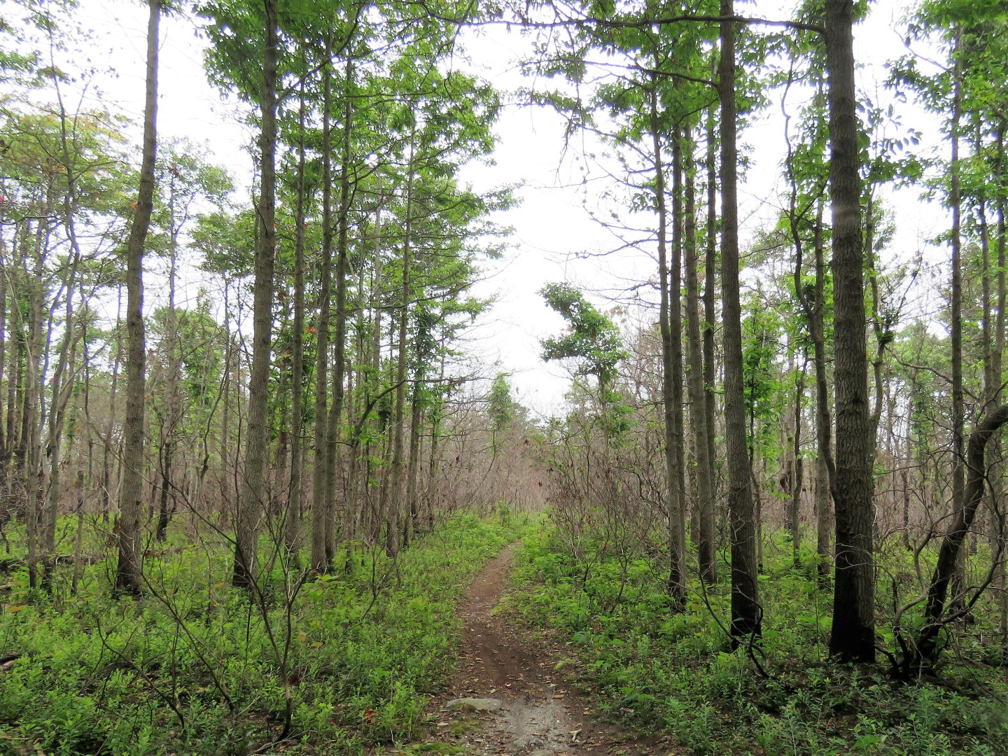
 |
| There are mostly no blazes at all but the trail is obvious and easy to follow. |
 |
| Coming up on a restricted area at the dam. |
 |
| Then the trail turns left on an absolutely gorgeous woods road that follows right along McWilliams Reservoir the entire way |
 |
| Looking back at the dam with Big Mountain on the other side of McWiliams Reservoir. That ridge would be our return route. |
 |
| There were loads of rhododendron on the left but the flowers were shot for the season. They would be in full bloom in July. |
 |
| We apparently spooked a bald eagle that flew right over my head ... |
 |
| ... then turned left over the reservoir. I only got a tiny bit of his white feathers (and I know this only because I could see the feathers zooming in on the high resolution image) as he was flying off. |
 |
| A few steps later I packed balloon #20 out of his habitat. |
 |
| Of course Brodie's water bowl is in his backpack so since I forgot the whole thing he had to drink out of the water bottle. No worries, we each have our own bottle. |
 |
| A bridge over the end of McWilliams Reservoir that connects back to the Roaring Creek Trail. |
 |
| Just before that bridge there is an overlook of the reservoir on the right. |
 |
| Since there were lots of people on the bridge we did not go on it but over the bridge and right on the Roaring Creek Trail then retracing to the beginning would make about a 9-mile lollipop hike. |
 |
| We turned back a short distance and where we had come in on the woods road on the left, we now turned right on the red-blazed trail. |
 |
| Just after this bridge ... |
 |
| ... a bench at a campsite where we took a break along Roaring Creek. |
 |
| Continuing on a short distance to ... |
 |
| ... the Roaring Creek Trail where we turned left. A right turn would make for about an 11.5-mile lollipop hike. |
 |
| The Kline's Reservoir dam is on the left and directly across on the right ... |
 |
| ... we turned right on the Pump House Trail. |
 |
| The Pump House Trail ascends steeply at times on a gravel road and sharply switchbacks ... |
 |
| ... to ruins on the right. |
 |
| At the top we kept right heading towards Black Road Trail. |
 |
| The Black Road Trail is a pretty boring gravel road but we would be on and off of it a few times later on. |
 |
| It is a short distance to Big Mountain Trail which was our intended return route along the entire ridge. |
 |
| Kline's Reservoir down below. |
 |
| Look what Brodie found smack in the middle of the trail. |
 |
| Balloon #21 of 2021 |
 |
| Entering this prescribed burn area is where I unintentionally got off of the Big Mountain Trail. I went straight when I should have turned right. This is were multiple trails start to branch off and it gets really confusing unless constantly consulting the app which I apparently did not do often enough. It wasn't a big deal and it actually shortened the route some. |
 |
| It did bring us to the Black Road Trail where I really did not want to be but it heads in the right direction and makes for a little faster hiking. |
 |
| I spotted this concrete platform off to the right and we headed there to take a break off of the gravel. Little did I know that it would be my first ever copperhead encounter. I didn't get a picture because I had already put my camera down but just inches away I heard leaves rustling and saw ... |
 |
| ... a big fat copperhead (it was a gorgeous color) parallel to the concrete, right alongside. I never saw the head, just the back half of the snake because it was frantically trying to get into his hole (red arrow) and away from us. Brodie noticed and I yanked him back just in time. The snake paused with the end of his tail sticking out of the hole and gave us a fierce rattle! |
 |
| Along the way we were able to grab some trails running parallel to Black Road Trail which were way more interesting and passed through some massive old mines. |
 |
| When we ended up back on Black Road Trail, I'd just take an alternate route when the opportunity arose. They all head basically in the same direction. |
 |
| Back at the parking lot I was surprised to see this many cars because I had run into nobody along the ridge. Other than a couple backpacking and a single hiker on the other side of McWilliams Reservoir, I ran into nobody else on the trails except the Roaring Creek Trail where the rest of the world is. |