Starting from the kiosk in the corner of the farthest parking lot.
Following the concrete path.
Lime kilns from the trail.
Crossing the bridge ...
... and meeting up with the blue-blazed Mason Dixon Trail.
Lock 12
The Mason Dixon Trail continues as a footpath, sometimes smooth, sometimes rocky.
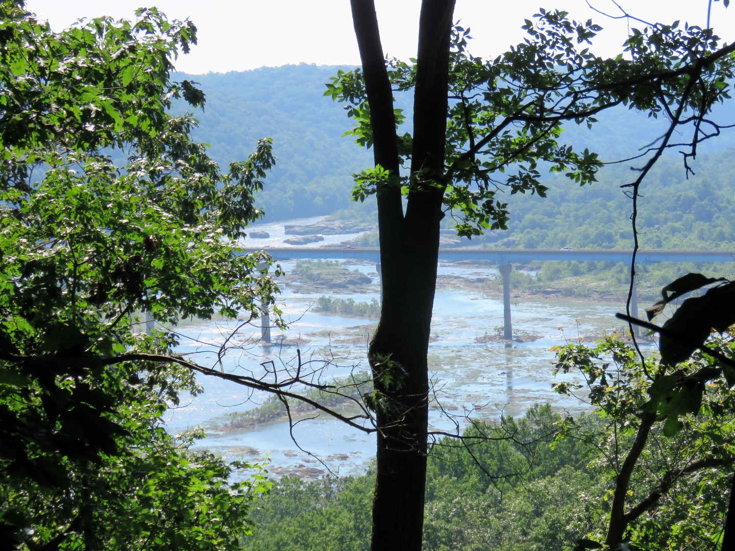
A few glimpses of the Susquehanna River to the right.
Ruins on the left.
At Mill Creek, the Mason Dixon Trail turns sharply left back around the ruins.
Mill Creek heading towards the Susquehanna River.
Mill Creek upstream, the way we will be heading.
The trail doubles back along the chain link fence ...
... with the ruins on the left. At the end of the chain link fence, the trail turns sharply right on River Road ...
... to cross the bridge over Mill Creek.
Mill Creek from the bridge.
The Mason Dixon Trail turns left just after the bridge (did not see any blazes until well in on the trail) and follows Mill Creek upstream with gorgeous waterfalls and cascaded.
Rhododendron blooming everywhere!
The trail turns away from Mill Creek and ascends steeply on switchbacks.
At the top, view of Norman Wood Bridge ...
... and Holtwood Dam.
We found a nice little break spot off trail with some partial views of the Susquehanna River. It was a hot day so we were taking lots of breaks and there were lots of scenic rock outcrops along the way to take breaks.
Starting to descend.
Crossing a power cut.
Holtwood Dam
The Mason Dixon Trail turns left on River Road for a short road walk.
Holtwood Dam from River Road
The Mason Dixon Trail leaves River Road to the right.
A couple of bamboo groves along the way.
A short side trail ...
... to the Susquehanna River.
I have never seen hydrangea on a hike.
Another river view along the way.
Rhododendron along here also but a lot of blossoms had been damaged by heavy storms the previous day.
Starting the climb up along Oakland Run.
Brodie is starting to understand the merits of getting one's paws wet when it is hot out.
The trail can get pretty rugged along the way.
Making note of the yellow-blazed Eagle Bypass Trail for our return route.
For now continuing on.
Zooming down from up above on the trail to fish in the creek.
Easy creek crossing.
Entering State Game Lands 181.
I had intended to hike to the parking lot and turn around but it was no longer scenic and it was a constant uphill slog with more spots of full sunlight than shade (and it was darned hot out!) so this was our turn around point.
Back along the creek in the shade.
Back through rhododendron tunnels.
It's not as easy to see the yellow-blazed Eagle Bypass Trail on the way back since the turn blazes are only facing the other way but I was watching for it so I found it.
The blazes seem to be fresh and it's fairly clear other than a few blow downs that are easy enough to get over.
There are supposed to be two viewpoints but not in the summer. I would guess there are great views all along from up this high with the leaves down.
Switchbacks down to River Road.
Just before River Road, a short, steep drop, over a small creek, and a short, steep climb up to River Road.
Looking back you would never see the trail so it would be really had to find going in the reverse direction.
Road walk on River Road.
Where the Mason Dixon Trail leaves River Road at Holtwood Dam to ascend back over to Mill Creek, I decided to continue road walking. It was so hot we did not have another climb in us and we had gone through 64 ounces of water already. As annoying as traffic had become on River Road this time of day, road walk it was. Other than a few spots of full sun, it was shady.
River view from River Road.
The Mill Creek Falls area had become quite crowded where we had the falls all to ourselves in the morning.
Leaving River Road back on the Mason Dixon Trail around the fence to the ruins.
There is a shortcut through the ruins - Brodie insisted on going that way where we met back up with the Mason Dixon Trail on the other side of the ruins.
Back at Lock 12.
And back at the now full parking lot. We only ran into two other hikers the entire hike so as crowded as the parking lots and areas accessible by cars get, the trails offer lots of solitude.