ABOUT THE PARK:
The BMECC Section of The Appalachian Trail - Blue Mountain Eagle Climbing Club
Weiser State Forest Port Clinton Tract - Pennsylvania DCNR
DIRECTIONS:
GPS Coordinates
40.58298, -75.94218
 |
| Parking at the end of Reservoir Road. This is also parking for the insanely popular Pulpit Rock and the Pinnacle hike so this lot fills up quickly. |
TRAIL MAP:
PA Appalachian Trail Map Sec. 1-6 - Keystone Trails Association
Weiser State Forest Port Clinton Tract - Pennsylvania DCNR
HIKE DISTANCE: 14.9 miles
THE HIKE:
 |
| Reservoir Road continues as a blue-blazed trail beyond the gate. |
 |
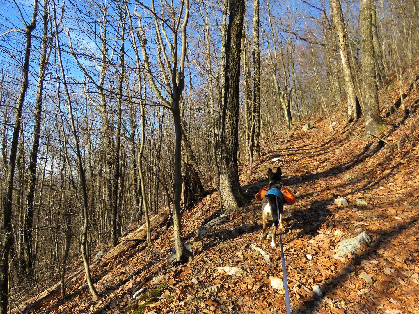
| Brodie and I turned left to the left of the gated road on the AT southbound towards Port Clinton to connect with another section Shawnee and I had hiked years ago. |
 |
| Heading south on the Appalachian Trail. |
 |
| Blow down/bench combo. |
 |
| It's uphill early on which was good for warming up on a 19 degree morning. |
 |
| It wouldn't be the Pennsylvania AT without some rocky sections thrown in but all in all, it was a pretty smooth section. |
|
 |
| Minnehaha Spring |
 |
| Pocahontas Spring |
 |
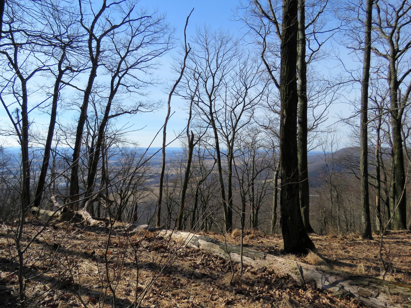
| Nice winter views up high. |
 |
| The AT follows a narrow ridge at the top. |
 |
| A last climb to ... |
 |
| ... what used to be an overlook but would now only be visible in the winter. |
 |
| Coming up on the switchbacks down to Port Clinton visible below. |
 |
| The AT crosses over Mountain Road. We were almost plowed over by a pickup truck flying around the bend from the left. You can't hear what is coming for all the traffic noise from Route 61 and you can't see around the bend. |
 |
| Having crossed without getting squished, heading towards Route 61. |
 |
| The AT goes under Route 61. |
 |
| Then the trail follows along the Schuylkill River. |
 |
| The Port Clinton Train Station on the other side of the Schuylkill River. |
 |
| The AT continues beyond the gate on Penn Street |
 |
| It is not every day you see an operational soda machine on the side of the road. No doubt this is for thru-hikers as Penn Street becomes a blue-blazed side trail to a pavilion for thru-hikers that we would pass later. |
 |
| But first a right turn on Clinton Street one block to the Port Clinton Peanut Shop where Shawnee and I had also stopped years ago. |
 |
| When I tied Shawnee to this bench I had no qualms about it whatsoever. She would have waited patiently forever until I got back. Brodie, however .... I had noticed cats running everywhere, dogs barking in almost every yard, just too many distractions for him and I had visions of him dragging that bench through town in pursuit of something (although the bench was very heavy - I checked). So anticipating this, I brought along a much bigger distraction. A cow ear, his most favorite thing ever. |
 |
| Totally engrossed in his cow ear and probably not even aware I was going into the store. |
 |
| Well, this picture turned out lousy but this is one of those old-timey confection stores where there is every type of candy you can possibly imagine. (An article with much better pictures.) They even have the candy necklaces and candy cigarettes that were popular in the 60's. But candy really isn't my thing ... |
 |
| I headed straight for the cashews. |
 |
| Returning to Brodie, he was still totally engrossed in his cow ear and completely unaware of my absence or anything else going on around him. |
 |
| Having our break and snacks on the bench in front of the Port Clinton Peanut Shop. Thank goodness this was a long hike because those cashews pack some calories. |
 |
| Continuing on the blue-blazed Penn Street. That sign says hikers may use the water spigot. It's a very hiker friendly town! |
 |
| The houses become more sparse heading out of town. |
 |
| Where the blue-blazed trail turns right... |
 |
| ... is the pavilion for thru-hikers. |
 |
| We continued on to the end of Penn Street where just beyond the billboards ... |
 |
| ... Penn Street meets up with Route 61 where we turned right a short distance. Although this is a very busy road with speeding traffic, there was enough of a break for us to get across to the other side. |
 |
| Opposite the last billboard, a gated road up into Weiser State Forest. |
 |
| It's uphill for quite a way on a woods road that switchbacks up. |
 |
| That ridge on the right is where we were earlier on the AT. |
 |
| At this T intersection we turned left. |
 |
| The trail on the Gaia app (orange) did not exist here but it was no big deal to get back on track. |
 |
| The road is now gravel. |
 |
| It becomes an orange-blazed snowmobile trail. |
 |
| When the gravel road reaches a parking area and turns right, it becomes the forest road where cars are allowed as well as snowmobiles. |
 |
| There are four camping spots available by permit but we just stopped for a break at the picnic table. |
 |
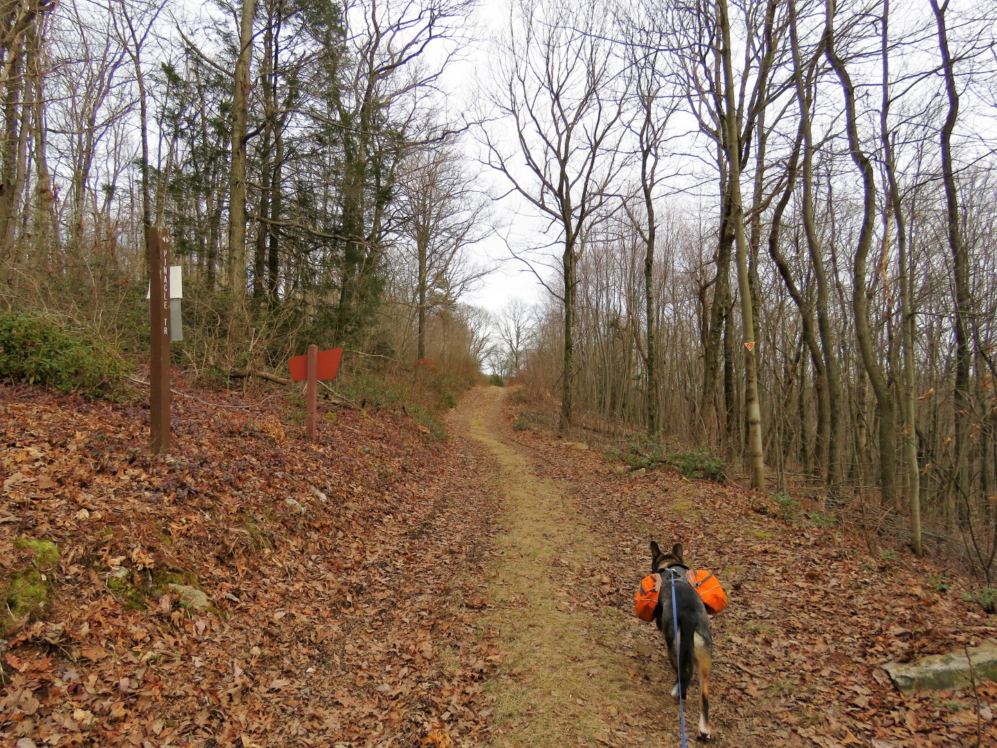
| Turning right on a fire road which is the Pinnacle Trail. |
 |
| It goes on forever it seems. |
 |
| Leaving Weiser State Forest and entering State Game Lands 106. |
 |
| It does go on forever. |
 |
| A bear was here. |
 |
| We were almost at the blue-blazed trail down to the Hamburg Reservoir but decided to get off the fire road and try a trail I could see on the Gaia app which would put us on that blue-blazed trail a bit farther down. |
 |
| It looked very wide and easy enough to follow. |
 |
| But where we should have been able to turn left there was nothing as the
trail continued to the right. I decided to bushwhack a bit to see if I
could find the trail. |
 |
| It was a very short distance of bushwhacking before I saw something up ahead and zoomed in. Headed over there to find ... |
 |
| ... a trail register. |
 |
| People had been here just a few weeks ago. |
 |
| You can see on my app where I could not find the trail and where I bushwhacked to the point where I found the trail register. |
 |
| We continued on ... |
 |
| ... to a camp spot ... |
 |
| ... and found the rest of the trail to be blazed red. |
 |
| Crossing Rattling Run. |
 |
| A few minor blow downs but the trail was well blazed and defined the rest of the way. It was just missing the connection where we had bushwhacked. |
 |
| Meeting up with the blue-blazed trail to the reservoir. |
 |
| Looking back there is a sign to access the red trail. |
 |
| The Hamburg Reservoir down below. |
 |
| The blue trail turns right ... |
 |
| ... but we turned left and looped around the reservoir. |
 |
| Hamburg Reservoir |
 |
| Back on the Appalachian Trail... |
 |
| ... then left on blue at Windsor Furnace. |
 |
| Even on a frigid day where the temperature only reached 32 degrees, lots of cars at the end of the day. |