ABOUT THE PARK:
Ohiopyle State Park - Pennsylvania DCNR
DIRECTIONS:
GPS Coordinates 39.891847, -79.507867
GPS Coordinates 39.891847, -79.507867
 |
| Johnathan Run Trailhead Parking Lot |
TRAIL MAP:
Ohiopyle State Park Map - Pennsylvania DCNR
Ohiopyle - Laurel Highlands Purple Lizard Map - Purple Lizard Maps
HIKE DISTANCE: 5.1 miles
THE HIKE:
Drive 'n hike New Jersey to Missouri to help my mother who recently had
hip replacement surgery. This is hike 2 of 2 on the day 1. Where I
usually would drive 4 hours, hike 8-10 miles, then drive another 4
hours, I broke this down into shorter drives with two shorter hikes
because of where I am with working my way back to full speed after my
hip replacement surgery.


 |
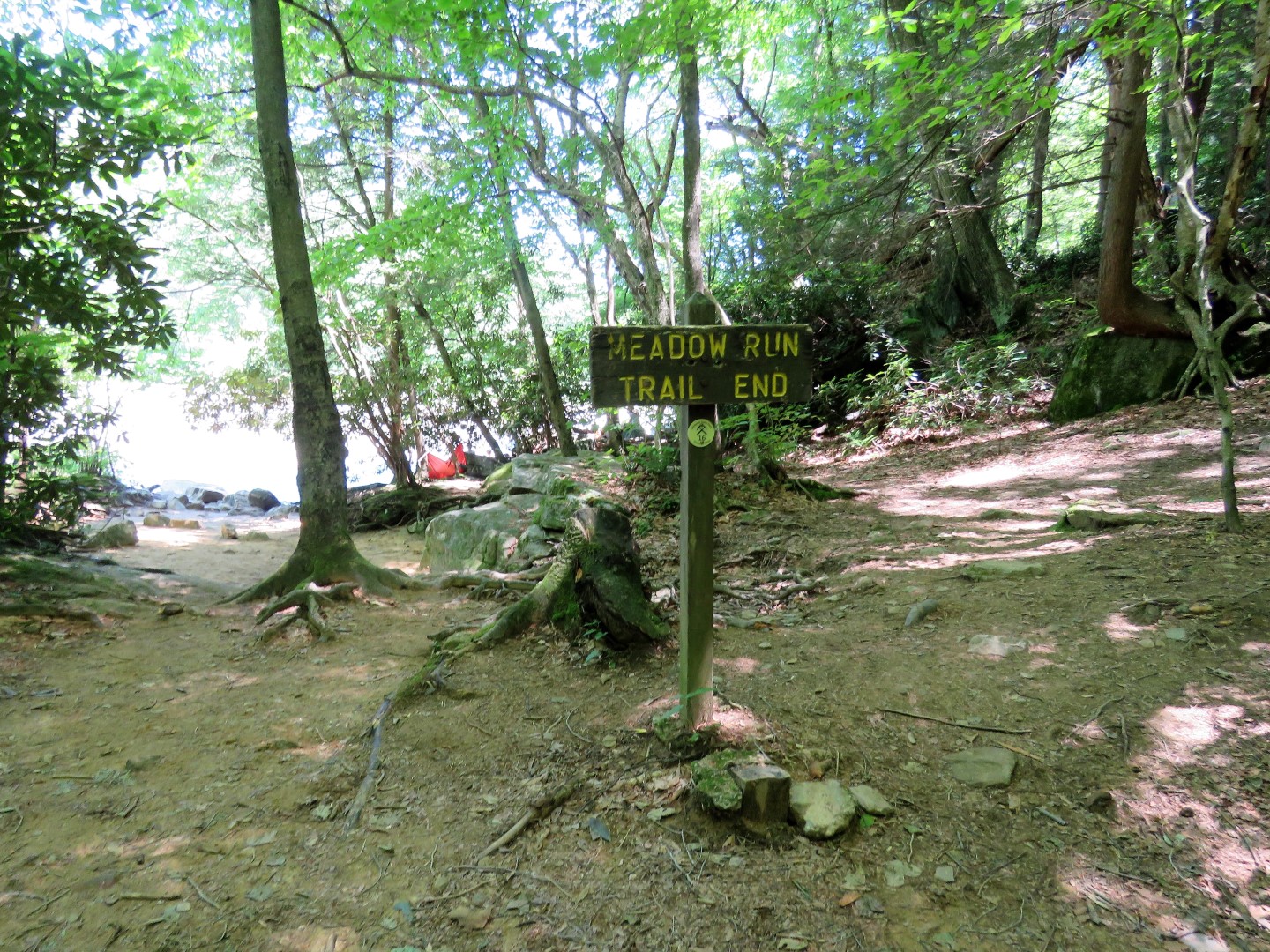
| The Johnathan Run Trail starts right from the parking lot. Where this is a very busy trail on weekends, I had it all to myself on a weekday. |
 |
| The trail soon starts to follow Johnathan Run. |
 |
| The yellow blazes denote hiking only trail, Later on the blazes will be red denoting hiking and biking. |
 |
| More and more cascades the farther along we went. |


 |
| Nice sturdy bridges on all water crossings. |

 |
| I remembered there was something to see on the Sugar Run Trail (I had left my map in the car, doh! There was no cell service and I hadn't downloaded the map on my Gaia app so I could not see the trails on my phone. That is what I get for changing my plan at the last minute due to weather changes and not checking the details.) |
 | ||
| We headed up the Sugar Run Trail and I would not know it until we headed back but the main attraction was on the right a short distance after this bridge. |
 |
| It was a very pretty trail with lots of views just before the leaves all pop out. |


 |
| This trail allows hiking and biking but doesn't seem to be used much. We turned around at the blow down and headed back as the trail was veering off in the wrong direction for us. |
 |
| Heading back. |
 |
| It is on the way back that I could see a huge waterfall to the left and a trail heading down but it was hard going with tons of downed trees to go over and under. |
 |
| I believe it was Fetcher Run Falls we could see in the distance but we passed by this smaller waterfall on the way down. Or this might be Fetcher Run Falls, not sure. |
 |
| At Fetcher Run ... |
 |
| ... the huge waterfall could not be seen at all. But it was pretty down there nonetheless. |
 |
| Heading back up to the Sugar Run Trail. |
 |
| After crossing that little bridge, left to continue on the Johnathan Run Trail. |

 |
| This was the only shot I was able to get of a raccoon crossing the trail ahead of us and disappearing into the woods. |
 |
| Coming up on the Great Allegheny Passage ... |
 |
| ... where we turned left. |
 |
| Great Allegheny Passage |
 |
| In less than a quarter of a mile, left on the Mitchell Field Trail. |
 |
| This leads up steeply in a short distance to Sugar Run Falls. |

 |
| We continued on up thinking there might be some views up there. |
 |
| There were no views so we headed back down. |
 |
| Back to the Great Allegheny Passage. |


 |
| Before turning right on the Johnathan Run Trail to retrace ... |
 |
| ... a break at that bench. It was Brodie's first hard treat in 2 weeks as he was on soft food only after having his molar extracted. He really savored that cookie. |
 |
| Taking some short side trails on the right to check out other falls down below but they just don't show up well in pictures. |


 |
| Back at the car. |
 |
| It had spritzed off and on throughout the hike and of course the sun came out the moment we arrived back at the car. |
Sugar Run Falls: