ABOUT THE PARK:
Moshannon State Forest - Pennsylvania DCNR
DIRECTIONS:
GPS Coordinates 41.261322, -78.258223
 |
| Parking at Beaver Run Dam |
TRAIL MAP:
Moshannon State Forest Public Use Map - Pennsylvania DCNR
 |
| The DCNR map is very hard to read. A better choice would be ... |
Moshannon-Quehanna Purple Lizard Map - Purple Lizard Maps
HIKE DISTANCE:
6.5 miles, 6 miles without the wrong turn I made
THE HIKE:
This is the first of our hikes to break up the drive from New Jersey to Missouri. I had only seen this hike done in a counter clockwise direction which puts the views at the beginning of the hike. I hiked clockwise to have the views at the end, Little did I know that would also put the climb down into and back up out of a gorge at the end. But it did save the very best for last.
 |
| Starting on the mowed trail to the right of the kiosk. |
 |
| Coming up on a wildlife blind overlooking ... |
 |
| ... Beaver Run Shallow Water Impoundment with no wildlife to be seen. |
 |
| Continuing on a trail to the left of the wildlife blind ... |
 |
| ... to a left at a blue blaze ... |
 |
| ... to a right on a gravel road. |
 |
| Crossing the dam ... |
 |
| ... with a rock hop over the outlet. |
 |
| The trail becomes a woods road, pretty muddy at times but there has been an unusual amount of rain. |
 |
| Some parts of the trail through this section have become somewhat overgrown in all that rain. |
 |
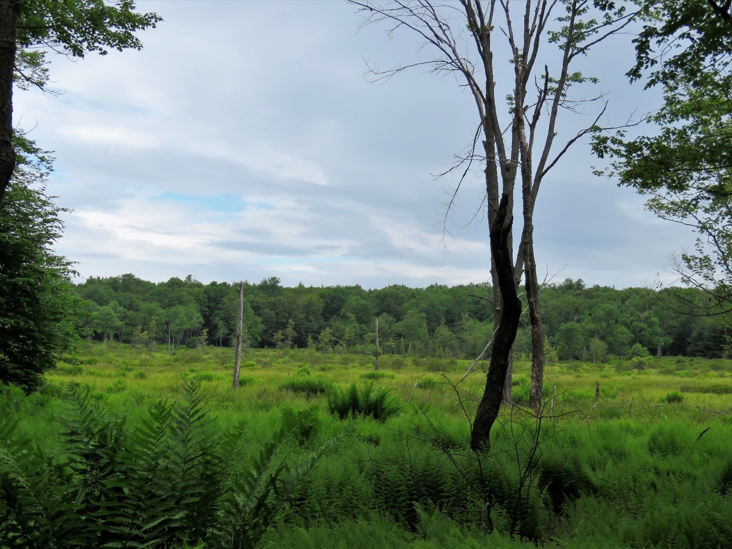
| Looking back at the Beaver Run Shallow Water Impoundment. |
 |
| The trail alternates between grassy ... |
 |
| ... woods roads and forest paths. |
 |
| Maybe it's just me but I found the direction signs very confusing. Fortunately I had loaded someone else's track from Gaia on to my phone so I could tell which way to go. It was a right at the trail register. |
 |
| Beautiful forests throughout. |
 |
| ??? Straight here. |
 |
| Crossing Quehanna Highway (Que. Hwy on the post) |
 |
| I would say that's some coyote scat. |
 |
| Mountain Laurel everywhere! |
 |
| We hadn't been on the Teaberry Loop Trail very long when I happened to glance up ahead to see ... |
 |
| ... smack in the middle of the trail ahead of us! |
 |
| The porcupine went ahead of us on the trail and we followed from a safe distance behind her. But every so often she would stop and turn and head back towards us. Oh. No. Then she would turn and start hiking ahead of us again. Mind you Brodie was going 10 kinds of crazy at this point. I thought she might get off the trail and go up a tree but no, we were at a standoff. |
 |
| We came to a bend in the trail where she stopped. The vegetation was sparse enough that we were able to bushwhack to the right and come out on the other side of the bend ahead of her. As soon as we were off the trail and she saw what we were doing, she turned and headed back the way we had come. I think that was the direction she was originally headed in and it wasn't the porcupine who blocked our path, we had blocked her path! |
 |
| Continuing on our way without the porcupine. |
 |
| First of three overlooks - maybe there is more to see in the winter but not in the summer. |
 |
| There were people at the second overlook (the only others we saw the entire hike) but it looked like there wasn't much to see there either so we continued on, |
 |
| I had checked the track on my GPS at this intersection and it looked like right was the way to go ... |
 |
| Oops! Wrong way. |
 |
| We retraced and too the left turn at that intersection. |
 |
| The trail switchbacks down ... |
 |
| ... into a beautiful hemlock gorge with little waterfalls. |
 |
| Break spot! |
 |
| After rock hopping over, the trail follows scenic Paige Run. |
 |
| Climbing up out of the gorge, the third overlook. |
 |
| Common Yellowthroat |
 |
| I didn't see the rattlesnake. Maybe I should have added a porcupine warning. |
 |
| Crossing back over Quehanna Highway. |
 |
| This section of trail gets a little overgrown and swampy - also perhaps due to the unusual amount of rain. |
 |
| Back at the parking lot. |
Now on to the second hike of the day on our trip to St. Louis.