ABOUT THE PARK:
DIRECTIONS:
GPS Coordinates 39.76682, -76.27267
 |
| Parking at Dorsey Boat Launch at the Peach Bottom Atomic Power Station. |
TRAIL MAP:
HIKE DISTANCE: 11 miles
THE HIKE:
 |
| Early morning views of the Susquehanna from the Dorsey Boat Launch. The signs said the boat launch is open from 9 AM - dusk (the entrance and exit are gated) but it was open when I arrived at 7:45 AM. |
 |
| Taking a short old road at the far end of the parking lot to connect to the Mason-Dixon Trail. |
 |
| At the end of the old road is a gate and signs. |
 |
| Looking back at the signs. There are warning/restricted area signs all over but Dorsey Boat Launch is allowed. |
 |
| At the intersection beyond those signs is the Mason-Dixon Trail. To the left the trail goes into the restricted Peach Bottom property. You can hike this, you just need to call ahead and let security know when you will be hiking through with picture ID as it is apparently patrolled by machine gun armed guards. For us, that is for another day. |
 |
| We turned right then immediately steeply uphill on the Mason-Dixon Trail. |
 |
| The trail turns into a quiet road walk along cabins. |
 |
| That's an interesting entrance. |
 |
| Beyond the cabins the road follows a pretty creek. |
 |
| Cold Cabin Park with ... |
 |
| ... views of the Susquehanna River. |
 |
| Out in the Susquehanna on a log, an immature bald eagle, about 2 1/2 years old based on the coloring. |
 |
| Hanging out with the eagle were a pair of common mergansers. |
 |
| Just before the road ends, the trail leaves the road steeply uphill to the left. |
 |
| Muddy Creek down below as the trail switchbacks higher up. |
 |
| At the top the trail stays mostly level following the rim of the Muddy Creek gorge. |
 |
| A couple of smaller feeder creek crossings. |
 |
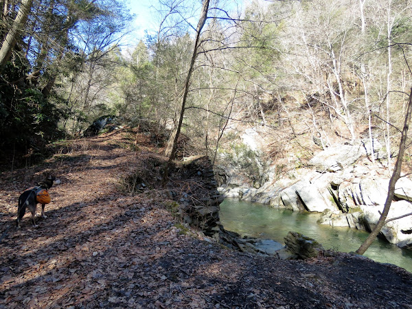
| The trail eventually starts to follow along Muddy Creek where it is more visible. |
 |
| At the bridge, the Mason-Dixon Trail turns right and crosses Muddy Creek; we left the Mason-Dixon Trail at that point and turned left on Paper Mill Road. |
 |
| It would now be 3 miles of road walking back but it was actually very pleasant. Absolutely nobody else around, nice countryside views, and only about 5 cars passed the entire time. |
 |
| Straight through this intersection. |
 |
| Brodie got to see his first Amish horse and buggy from the other side of the street. |
 |
| Left on Smith Road. |
 |
| Oh great. Two roosters and several chickens in the road up ahead. What will Brodie do? |
 |
| Brodie totally saw them and as soon as the chickens realized Brodie had chicken dinner in mind, they all skedaddled back up the hill towards home before we got there. |
 |
| Rabbit stew then? The dog is hopeless. |
 |
| Coming back up on the intersection where the Mason-Dixon Trail crosses over ... |
 |
| ... to retracing back to ... |
 |
| ... Dorsey Boat Launch. |