ABOUT THE PARK AND CABINS:
White Mountain National Forest, NH - USDA Forest Service
Soar To New Hampshire's Pilot Range - Backpacker.com
DIRECTIONS:
GPS Coordinates 44.502195, -71.331509
 |
| Even though the gates were open when I arrived at 7:15 AM, I parked in the pull out before the gates because of the conflicting signs... |
Maybe I should not have even been there that early but several pickup trucks went by and I walked past occupied buildings. I wasn't there for the fish hatchery and I was going on federal land, not state land, or so I thought. I was not going to wait in my car until 8AM or 8:30 AM or whatever, especially since I was doing a 12.5 mile hike and needed all of the daylight hours available. Nobody called me out so I kept on going. The map shows parking at the trail head which is beyond the gates. What's a few more steps?
TRAIL MAP:
White Mountains Waterproof Hiking Trail Map - Map Adventures
HIKE DISTANCE: 12.7 miles
THE HIKE:
 |
| Walking in beyond the gate on the paved road towards the fish hatchery. |
 |
| A sign at the fork, right to the Mill Brook Trail. We would be returning from the Unknown Pond Trail. |
 |
| This might be where the actual parking is. |
 |
| There is a sign over at the far side of the little pond. I zoomed in with the camera ... |
 |
| ... and yes, that is where we needed to be. |
 |
| It's a very lovely trail into the woods. |
 |
| The trail is not blazed but it is mostly easy to follow. Intersections are signed. |
 |
| Meeting up with and following along Cold Brook. |
 |
| The trail becomes very overgrown in spots. Brodie is in there somewhere. I came out soaking wet from dew on the leaves. |
 |
| The higher and steeper the trails becomes, the rockier it gets. |
 |
| More fall foliage here than in other places. |
 |
| Moose poop! It;s like gigantic deer poop. |
 |
| At the intersection, turning right to Roger's Ledge. |
 |
| The trail gets steeper here. |
 |
| Nearing the top. |
 |
| Finally, in this lovely shaded area that is apparently a huge moose hangout based on the amount of moose poop ... |
 |
| ... Roger's Ledge. |
 |
| The Presidentials in the distance. |
 |
| You have to return to the clearing and work your way around to the various ledges from side paths. |
 |
| Taking a break in the clearing. |
 |
| How dare I go scouting for more ledges without him? |
 |
| He didn't want to miss any so I went back with him. |
 |
| Heading back down. |
 |
| A rare trail blaze. I saw a few more along the way but nothing that can be relied upon. In the very overgrown areas where I could see nothing, Brodie got us through. |
 |
| Back at the intersection, now going straight on the Kilkenny Trail. |
 |
| Somebody is becoming less prissy about getting his paws wet. Feels pretty good when it's hot out. |
 |
| It wasn't long after this section where the trail became rocky, I stepped on a rock that happened to be very slippery (not in a wet area at all) and went down hard. |
 |
| I'll spare you the blood and guts. Brodie could not look either. I was amazed at how fast an egg appeared on my shin, I mean it come up the moment my shin hit rock. |
 |
| The cleaned up version. Always carry vet wrap and duct tape. And non-stick gauze. Don't know what I was thinking when I grabbed the regular gauze. That became a big problem when I tried to get it off later. Anyway, no bones broken, legs still work, off we go. And it really did not hurt after the initial impact. |
 |
| Coming up on ... |
 |
| ... Kilback Pond |
 |
| Moose tracks! I saw moose poop and moose tracks but no moose. |
 |
| We were taking a lot of breaks because the trail keeps going up and up and up. We were headed to Unknown Pond and I suppose the unkown part is how high up it is! |
 |
| More overgrowth. We never ran into another person all the way to Unknown Pond and these trails don't appear to be highly used at all. |
 |
| Some views the higher up we go. |
 |
| I was noting how it looks like they chop blow downs with an axe when Brodie sniffed ... |
 |
| ... and went in for the big roll. Moose scent? |
 |
| At long last the trail levels out. It happened to be very humid this weekend so the uphills were particularly exhausting. |
 |
| At the end of the Kilkenny Trail ... |
 |
| Beautiful Unknown Pond. This is the only place I ran into other hikers who came from other, shorter and more popular trails. |
 |
| We took a looooooong break here. I would have napped too had it not been for all of the hiker chatter. |
 |
| Continuing on Unknown Pond Trail. |
 |
| Along the descent, some high peaks views. |
 |
| Zooming in to the summit of Mount Washington, |
 |
| The Presidential Range |
 |
| The Unknown Pond Trail comes out at a parking lot. |
 |
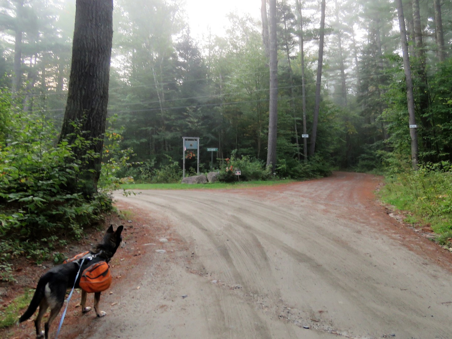
| A left out of the parking lot for a 1.5 mile road walk to finish the loop. |
 |
| Along the way, a suicidal chipmunk. I could not believe he kept running TOWARDS Brodie. I had to back up before Brodie nabbed him and oh, did he want to. Then I had to pound my trekking poles and yell to get the chipmunk to take off into the woods. Brazen chipmunk stock they have here. |
 |
| Passing York Pond then it's just a little farther to the gate and where I parked. |