

ABOUT THE PARK:
Weldon Spring Conservation Area - Missouri Department of Conservation
DIRECTIONS:
GPS Coordinates 38.69107, -90.72417

TRAIL MAP:
Weldon Spring Conservation Area Map - Missouri Department of Conservation
Powered by Wikiloc
HIKE DISTANCE: 5.7 miles
THE HIKE:
I had planned on hiking the 8.2 mile Lewis Trail Loop but ended up hiking the shorter Clark Trail Loop due to flooding.

 |
| There was no mention of this on the website, which I had checked because of flooding in the area. There was also no mention of part of the trail closed due to bridge replacement which we discovered near the end. |


 |
| Missouri River |


 |
| The trail was flooded and impassable just before the Lewis and Clark split. The only option was to backtrack. |
 |
| But up higher beyond the flooded section, is that dry trail down there? |
 |
| We bushwhacked steeply downhill and met up with the trail beyond the flooded out section. |
 |
| All that flooding and here is a dry creek bed. |
 |
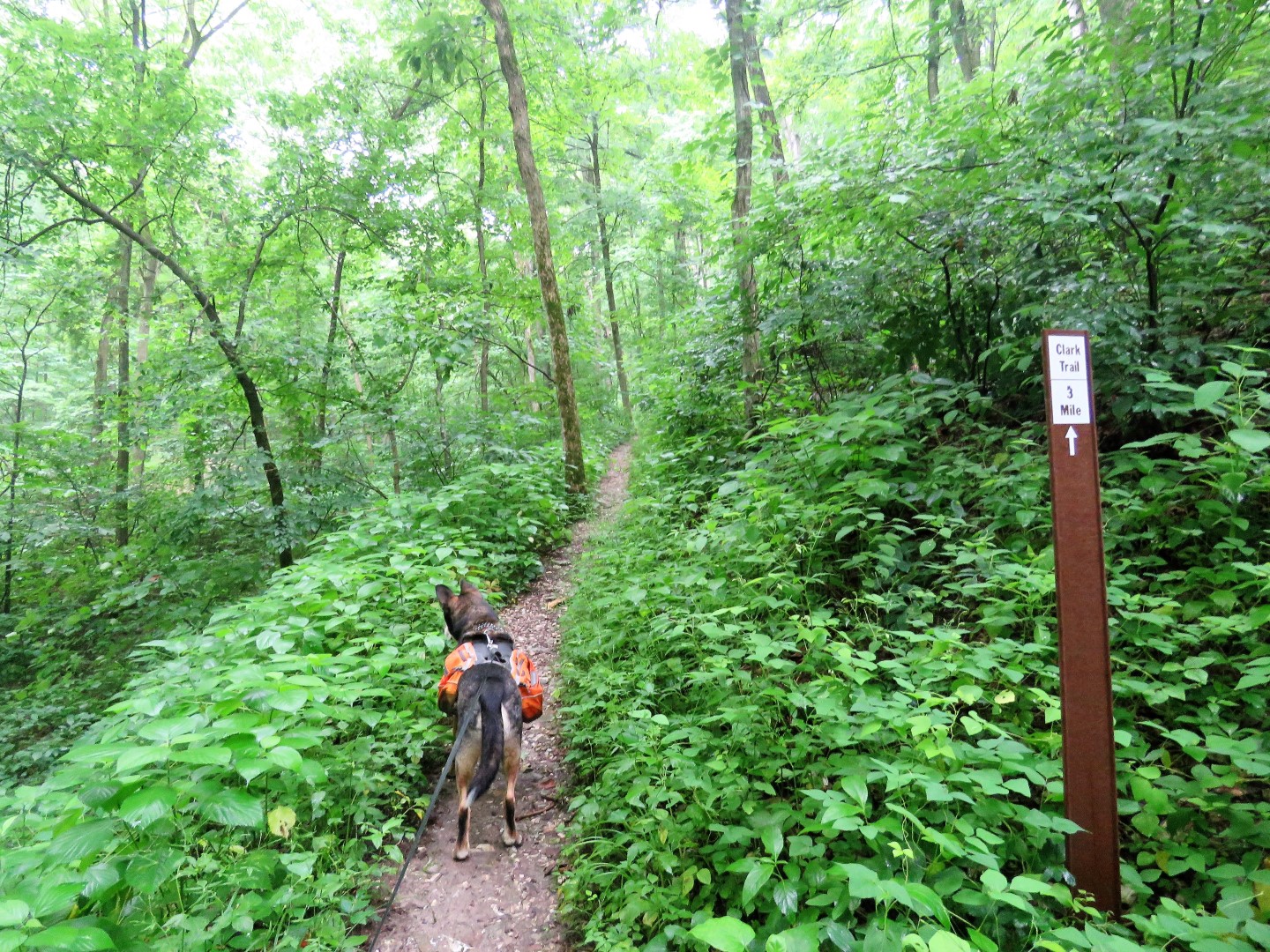
| The shorter Clark Trail goes straight, the longer Lewis Trail goes right. We turned right. |
 |
| Ugh. A few logs placed over the wet area made the crossing doable. But a short distance ahead ... |
 |
| ... the trail was completely flooded out. Turning back to take the Clark Trail instead. |


 |
| The Lewis Trail joins back in from the right. |
 |
| A short side trail went to this field where there were two turkeys that promptly took off. They were somewhere way over on the far side. |


 |
| Coming up on a bridge that was being replaced. The men asked if there was no sign saying the trail was closed. No there was not. |
 |
| We ended up dropping down into the dry creek bed, going under the bridge and climbing back up to the trail. |


 |
| Back at the parking lot. |