ABOUT THE PARK:
DIRECTIONS:
GPS Coordinates 39.63884, -75.75586
 |
| Parking at Iron Hill Park |
TRAIL MAP:
HIKE DISTANCE: 13.9 miles
THE HIKE:
There was supposed to be a slight chance of rain at 9:00 AM but in reality, it rained off and on during the entire hike so it was a very dreary day. Additionally, it was 77 degrees and humid - on November 6!
 |
| Following blue blazes all the way out. |
 |
| Iron Hill Park has posts where other trail in the park intersect. We would take one of those on the way back. |
 |
| Coming up on I-95... |
 |
| ... then up and to the right ... |
 |
| ... to cross over I-95 on the bridge. |
 |
| Just after the bridge, a left into Folk Memorial Park. |
 |
| Folk Memorial Park has a paved loop trail; the Mason-Dixon trail follows the left side of the loop. |
 |
| A left onto a pathway ... |
 |
| ... between houses. There are no blazes in this residential area but the trail continues straight on the sidewalk ... |
 |
| ... to a right on Chestnut Hill Road where the blazes pick up again. |
 |
| After a short road walk, a left into ... |
 |
| ... Rittenhouse Park. |
 |
| At the parking lot, the Mason-Dixon Trail continues to the right ... |
 |
| ... on a boardwalk and will now follow Christina River. |
 |
| The bridge leads to some other park facilities but we had to keep straight although Brodie thought we should go that way. |
 |
| The great blue herons are very tame in these parts. They stay put and don't screech and take off like they usually do. |
 |
| The trail turns right on a narrow paved road to cross on a bridge. |
 |
| Now the trail will pass under railroad tracks and highways. |
 |
| Another friendly great blue heron. |
 |
| And a third - they were everywhere. |
 |
| Balloon #17 of the year. I am not finding near as many as I have in years past so hoping that is a sign people aren't letting them go as much. |
 |
| The first actual road crossing and even though cars zoom by way in excess of 35 mph, there is not that much traffic so it is fairly easy to cross. |
 |
| We had the hunter awareness talk where I informed him he should NEVER stand still like that during hunting season :( |
 |
| The trail crosses a paved path. |
 |
| There are a lot of bridges along the way ... |
 |
| ... but also an occasional rock hop. |
 |
| When the trail widens ... |
 |
| ... it turns right for a road walk ... |
 |
| ... at the terminus of the Christina Valley Stream Trail that the Mason-Dixon Trail had been following. |
 |
| The rest is all road walk and I could have turned back at this point but did not want to leave this stretch undone on the off chance I would ever finish hiking the Mason-Dixon Trail. |
 |
| Coming up on a major intersection with Food Lion on the left and Rite Aid on the right ... |
 |
| ... there is a very nice pedestrian crossing that you have to wait a while for but it let's you cross safely. |
 |
| And from that crossing it's a very short distance to the swim club on the left where I had parked for the last section I had hiked. I remembered there was a park at the far end of the lot and was hoping for a picnic table to take a break but there was nothing. |
 |
| But I found this around the back side of the pool. I'll take it! It stopped raining long enough to sit and take a break. |
 |
| Now leaving the swim club and retracing. |
 |
| The long wait for the pedestrian crossing. |
 |
| And we are on our way back. |
 |
| After the bridge over Christina River, left back on to the trail. |
 |
| There was an occasional HUGE old growth tree along the way. |
 |
| I had noticed on the way out that the Jerry Fickes Trail joined the Mason-Dixon trail in two places so I figured I could take it on the way back when it branched off. |
 |
| Some lost cat posters had gone up that were not there earlier and I stopped to read one because I had actually seen a cat earlier on the other side of the river but turns out it was not the missing cat. |
 |
| Not sure if this is the same as the first one I saw or a forth. |
 |
| Leaving the Mason-Dixon Trail and turning right on the Jerry Fickes Trail Upper Branch. |
 |
| I noticed a trail to the right leading to Arbour Park but did not know where it went at the time as there was nothing about it on my app. Turns out, taking that trail would have eliminated the last road walk - more on that in a bit. |
 |
| The Jerry Fickes Trail meets back up with the Mason-Dixon Trail before the boardwalk but I could see several people on the boardwalk so we stayed right to bypass that back to the parking lot. |
 |
| Leaving Rittenhouse Park ... |
 |
| ... back to the road walk where I noticed all of the mailboxes were facing parallel to the road - I had never seen that before. |
 |
| At the left turn into the residential area, I noticed the sign on the right that indicated Arbour Park was a short distance ahead on the right. Turns out it is not a park at all rather a residential development. So that side trail I saw would have taking me into the development where I would have come out almost at this same place from the other direction. |
 |
| Back between the homes ... |
 |
| ... but turning left on the paved trail in Folk Memoria Park where we had come in from the right on the Mason-Dixon Trail. |
 |
| This loops around to the entrance were we turned right ... |
 |
| ... to cross back over I-95 ... |
 |
| ... then left into Iron Hill Park. |
 |
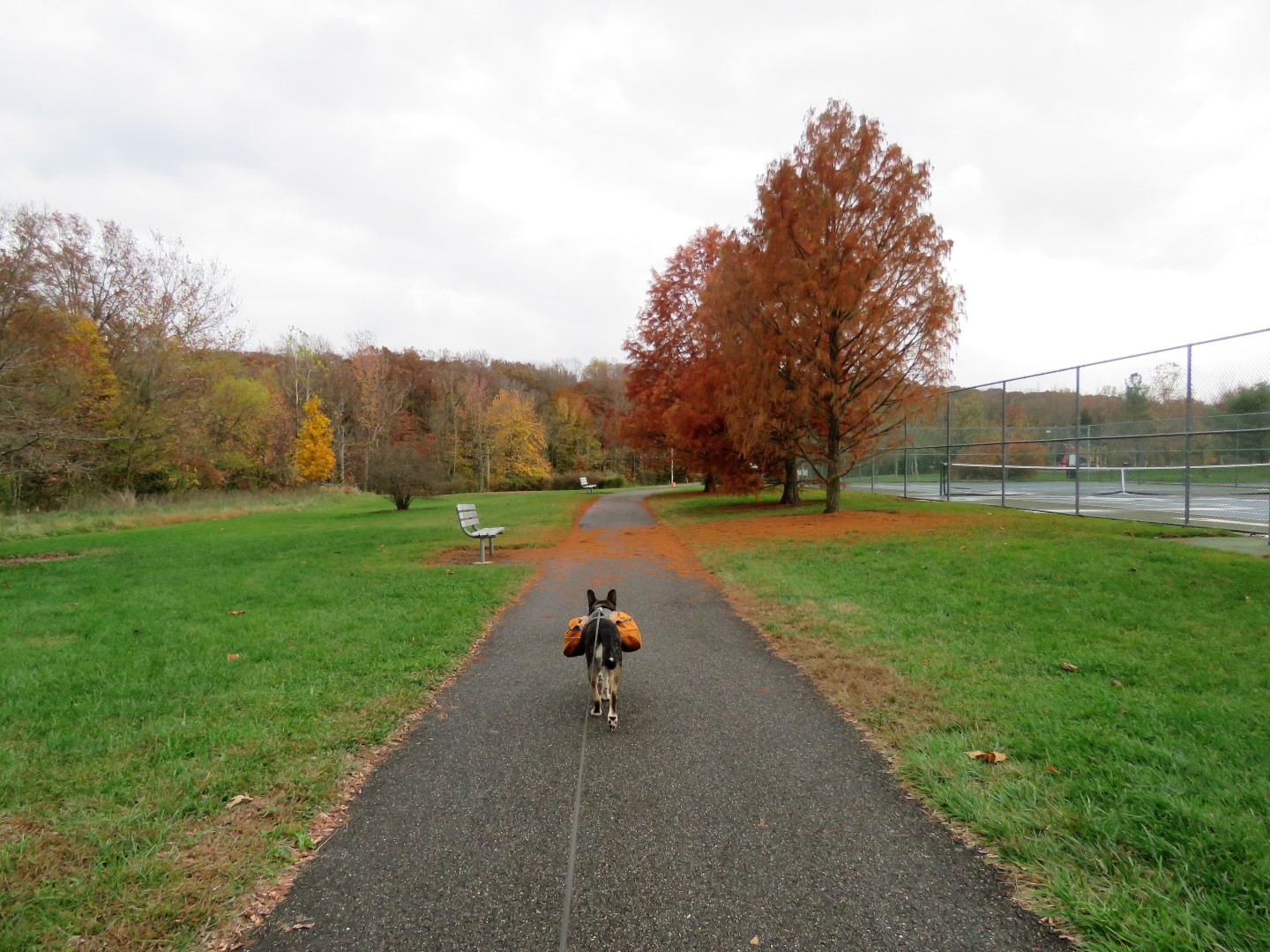
| Taking a right on the white trail to loop around a different way... |
 |
| ... back to the parking lot. |