ABOUT THE PARKS:
Ives Trail
Ives Trail Greenway - Western Connecticut Council of Governments
Patch Award for Hiking the Entire Trail - Western Connecticut Council of Governments
Bennett's Pond State Park - State of Connecticut DEP
DIRECTIONS:
GPS Coordinates 41.352730, -73.501506
 |
| Parking for 4 cars at the Pine Mountain Road kiosk with a few more spots along the road. |
TRAIL MAPS:
Bennett's Pond State Park - State of Connecticut DEP
Ives Trail Map - Western Connecticut Council of Governments
HIKE DISTANCE: 9.4 miles
THE HIKE:
Brodie and I hiked here in July when it was hot, humid and very buggy. Today we started out at 19 degrees and there were no bugs. In order to pick up where we had left off on the Ives Trail, we had to repeat about 1 mile of trails previously hiked to get to that point.
 |
| We started in Bennett's Pond State Park on the yellow trail beyond the gate at the parking lot. |
 |
| This was a repeat of what we hiked last July but you would never know it - nothing looks the same in the winter. |
 |
| We turned left on blue when yellow went right. |
 |
| At the end of blue, left on red... |
 |
| ... to where the Ives Trail joins red from the right where we needed to pick up from the last hike. |
 |
| Now it's all uphill on red/Ives Trail. |
 |
| At the top after the Ives Trail joins the yellow trail ... |
 |
| ... keeping right to the Charles Ives cabin site overlook. |
 |
| The Long Island Sound visible to the left. |
 |
| Some mountains in the distance. |
 |
| Continuing on the Ives Trail when I noticed.... |
 |
| ... what appeared to be a new trail not on the map, the blue-blazed Ledge Trail. Not knowing where it went, I decided to wait and see if it would meet back up with the Ives Trail later on and if so, we could take it on the return route. |
 |
| There is Bennett's Pond down below where we had hiked previously. |
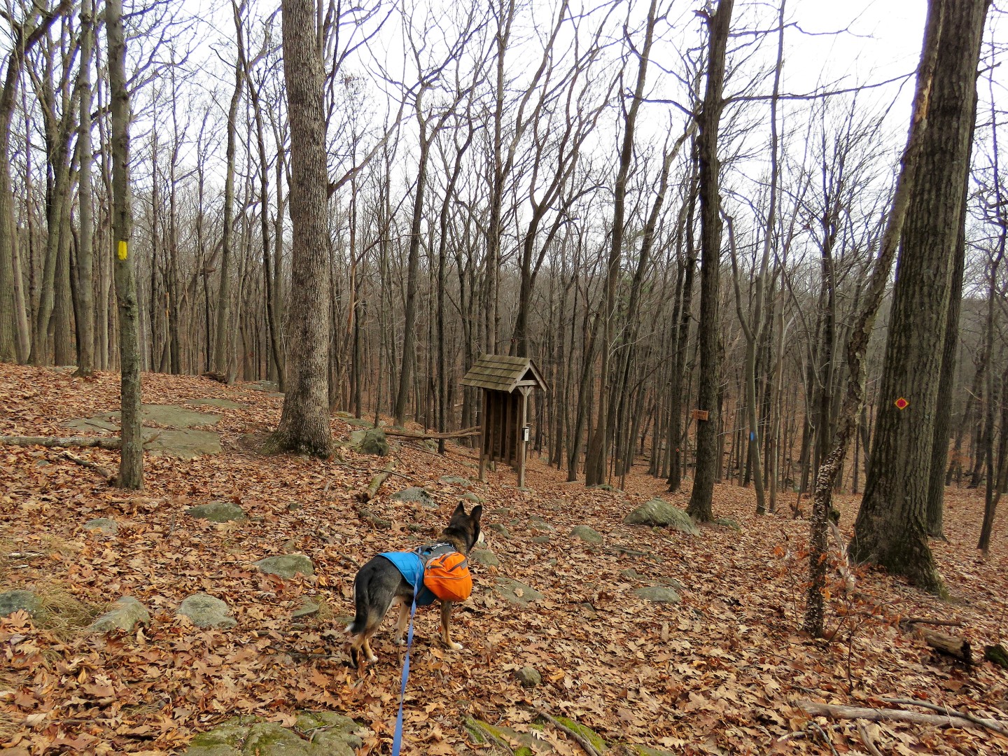
 |
| Coming up on a kiosk, yellow leaves to the left, the Ives Trail continues straight and ... |
 |
| ... there is the other end of the new Ledge Trail. Definitely doable for the return route since it appeared to run parallel to the Ives Trail. |
 |
| A red trail to the right goes down to Bennett Pond. From this point on, the Ives Trail feels very remote and not heavily used. Bennett's Pond State Park seems to get a lot of people but I doubt many venture out this way. We were the only ones on this day. |
 |
| Up and over some rolling hills all the way to ... |
 |
| ... a steep descent to Route 7. |
 |
| Then a final loooooong flight of steps. |
 |
| Right to the end of the guardrail and a crosswalk with a button to stop traffic to cross, thanks goodness. Don't think you'd make it across alive without that. |
 |
| After crossing Route 7, straight up Starrs Plain Road a short distance to ... |
 |
| ... a left back into the woods. |
 |
| The Ives Trail now follows along Sugar Hollow Pond. |
 |
| Brodie was most concerned about all of that gunfire, now much louder than before, from ... |
 |
| ... that shooting range across the pond on Route 7. |
 |
| We had a few rock hops to continue on but they were a little tricky since ice had formed on the rocks.. We eventually made it over to the other side. |
 |
| Now climbing up steeply along the icy waterfalls. |
 |
| The gunfire faded away once separated by a mountain. |
 |
| Do you see what I see? |
 |
| Balloon #54 of the year. |
 |
| I signed the trail register ... |
 |
| ... even though Brodie kept trying to take it away from me. He thinks every Ziploc baggie contains dog biscuits since that is what his hiking treats are in. |
 |
| Shortly after a few minor blow downs ... |
 |
| ... my Cairn app chimed at 5 miles and the trail started to descend. Knowing how many hills I had to navigate on the return route and not wanting to add another, I made this our turn around point. I will be able to connect to this point from Terrywile Park when we do the next section. |
 |
| Heading back. |
 |
| Coming back up on Route 7 and ... |
 |
| ... a steep descent along the waterfalls. |
 |
| It was now much easier to rock hop since that thin layer of ice on the rocks had melted with the temperature having reached a whopping 34 degrees. |
 |
| A right on Starrs Plain Road. |
 |
| a) That fine is way too low and b) why a random amount like $219? |
 |
| I could barely reach the button for crossing it is so far from the guardrail. I was able to but was getting ready to jab it with my trekking pole if all else failed. |
 |
| Safely on the other side ... |
 |
| ... and up the steps. |
 |
| Once over the rise, no more gunfire noise pollution. |
 |
| Back at the kiosk ... |
 |
| ... we turned left on the blue Ledge Trail. |
 |
| Nice winter views all along this trail. |
 |
| Laurel Ledge |
 |
| Meeting back up with the Ives Trail where we turned left. |
 |
| When the Ives Trail leaves yellow to the left (the way we had come up at the beginning of the hike) we stayed with yellow turning right. |
 |
| This is the Ives access trail from where we parked on Pine Mountain Road. |
 |
| A left on Pine Mountain Road ... |
 |
| ... back to the parking lot. |